WTasFSP39 Map
 |
5 |
01/01/9999 midnight |
Full Spherical Panorama |
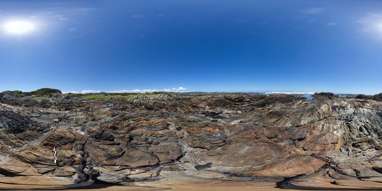
folded, finely layered, sandstones and siltstones? of the Oonah Formation. North of Duck Creek, west coast, Tasmania. |
500.00 |
-41.76513000000 |
145.00041000000 |
-9999.000 |
fold, structure, open fold, sedimentology |
sandstone |
KakaduFSP8 Map
 |
0 |
01/01/9999 midnight |
Full Spherical Panorama |
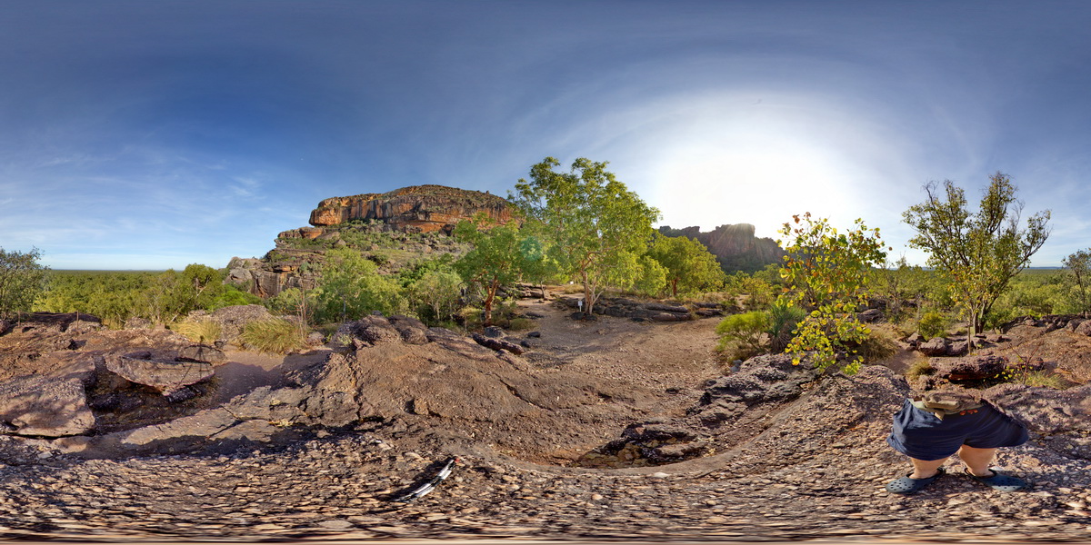
view of sandstone escarpment in background and conglomerate (as in site Kakadu5) in foreground. . Nourlangie Rock Art Site. Kakadu National Park, N.T. |
500.00 |
-12.86476000000 |
132.81590000000 |
-9999.000 |
sandstone, Kakadu National Park, escarpment, sedimentology |
sandstone |
SimpgFSP1 Map
 |
5 |
01/01/9999 midnight |
Full Spherical Panorama |
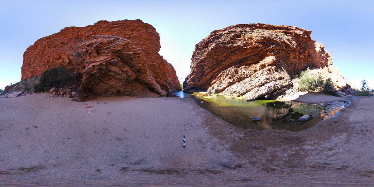
view of contact / unconformity between Simpson Gap Metasediments and Heavitree Sandstone. Simpsons Gap. N.T. |
500.00 |
-23.67420000000 |
133.71912000000 |
-9999.000 |
unconformity, metasediments, open fold, fold, structure |
metasediments, sandstone |
BoatHarbourFSP1 Map
 |
20 |
01/01/9999 midnight |
Full Spherical Panorama |
panorama view of boat harbour pink and grey folded quartzite. Boat harbour, Tasmania. |
500.00 |
-40.92637000000 |
145.60981000000 |
5.000 |
quartzite, fold, structure |
quartzite |
BoatHarbourFSP2 Map
 |
20 |
01/01/9999 midnight |
Full Spherical Panorama |
panorama view of boat harbour pink and grey folded quartzite and metasediments. Boat harbour, Tasmania. |
500.00 |
-40.92637600000 |
145.60981500000 |
5.000 |
quartzite, metasediment, fold, structure |
quartzite |
KingsFSP4 Map
 |
0 |
07/31/2016 1:10 p.m. |
Full Spherical Panorama |
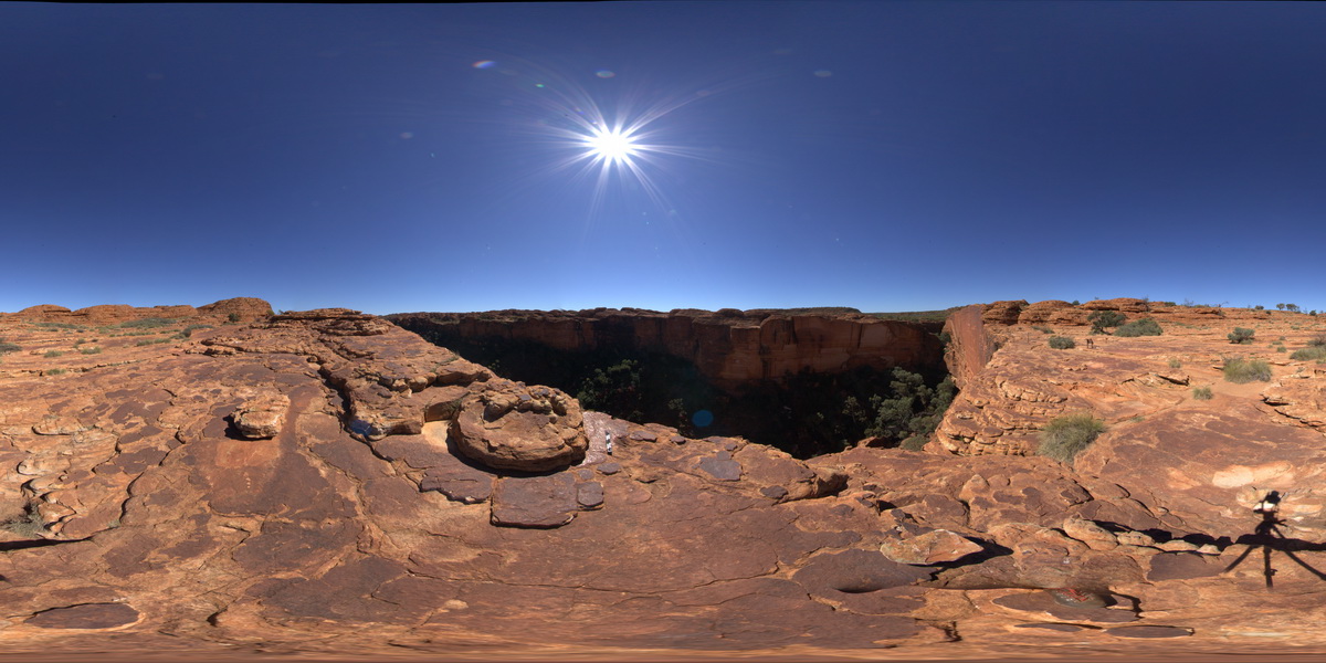
panorama view of Mereenie Sandstone cliffs from the edge of Kings Canyon. Watarrka National Park, N.T. |
500.00 |
-24.25160400000 |
131.58066300000 |
749.528 |
Kings Canyon, Mereenie Sandstone, sandstone, sedimentology |
sandstone |
NTasFSP2 Map
 |
5 |
01/01/9999 midnight |
Full Spherical Panorama |
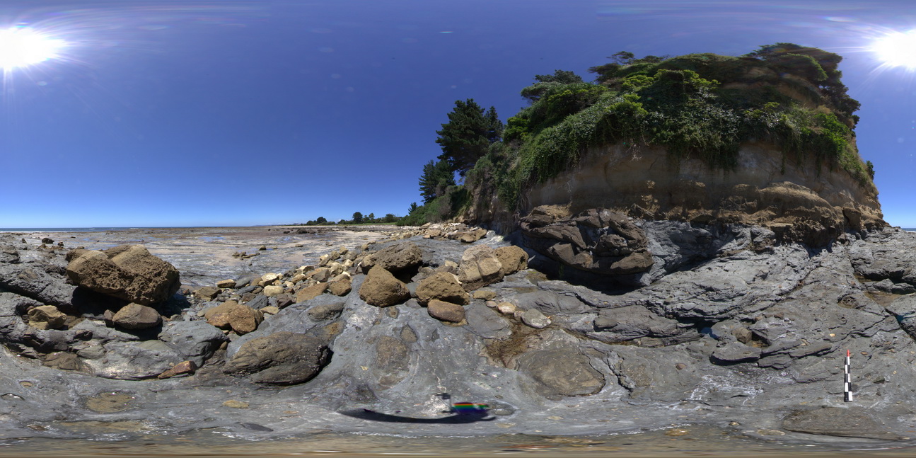
shore-cut platform on Wynyard Tillite, with unconformity with the Fossil Bluff Sandstone in background. Fossil Bluff Conservation Area, Wynyard. North Tasmania. |
500.00 |
-40.98151000000 |
145.73300000000 |
-9999.000 |
tillite, unconformity, Fossil Bluff Sandstone |
tillite, sandstone |
NTasFSP3 Map
 |
5 |
01/01/9999 midnight |
Full Spherical Panorama |
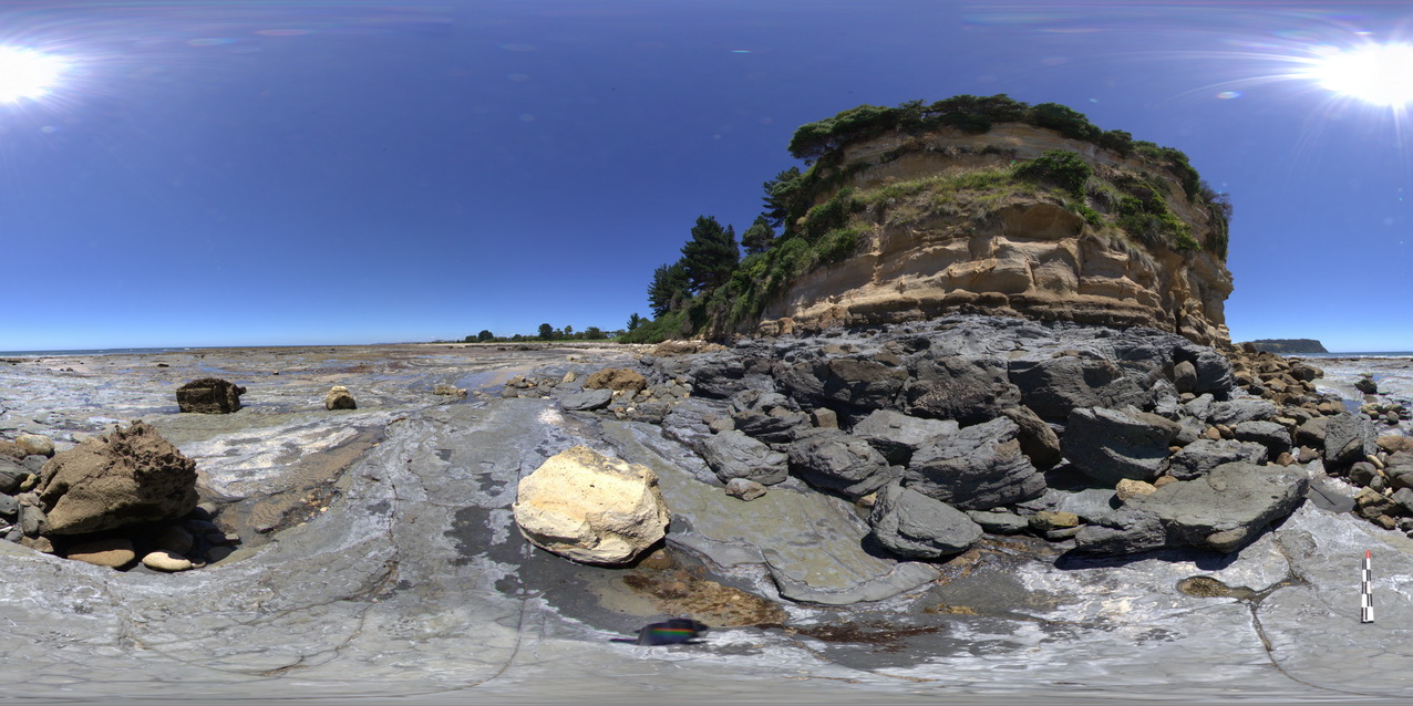
shore-cut platform on Wynyard Tillite, with unconformity with the Fossil Bluff Sandstone in background. Fossil Bluff Conservation Area, Wynyard. North Tasmania. |
500.00 |
-40.98135000000 |
145.73312000000 |
-9999.000 |
tillite, unconformity, Fossil Bluff Sandstone |
Tillite, sandstone |
PenningtonUAV2 Map
 |
0 |
10/20/2015 3:34 p.m. |
3D UAV photogrammetric model |
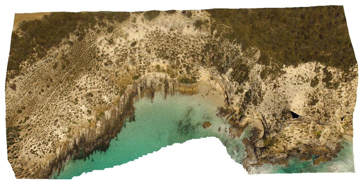
aerial view showing the Petrel Cove Formation of the Kanmantoo Trough overlain by the younger Bridgewater Formation. Pennington Bay, Kangaroo Island. |
500.00 |
-35.85948000000 |
137.73521600000 |
-9999.000 |
unconformity, sandstone, calcareous sandstone |
sandstone, sandstone |
MtGippsFSP55 Map
 |
5 |
01/01/9999 midnight |
Full Spherical Panorama |
360 degree view of metamorphic rocks. Mount Gipps, N.S.W. |
500.00 |
-31.61626500000 |
141.49936100000 |
-9999.000 |
metamorphic rock |
metamorphic rock |
NTasFSP8 Map
 |
5 |
01/01/9999 midnight |
Full Spherical Panorama |
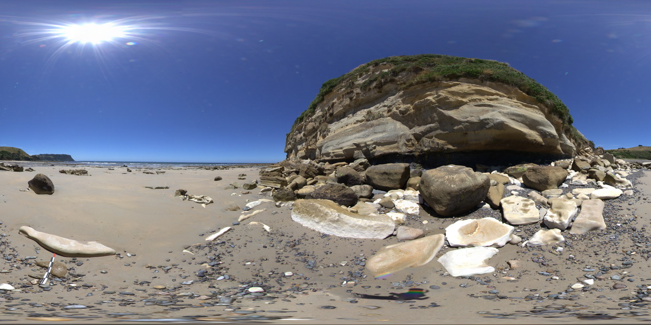
view of the stratigraphy of fossil bluff from the shore line. Fossil Bluff Conservation Area, Wynyard. North Tasmania. |
500.00 |
-40.98046000000 |
145.73158000000 |
-9999.000 |
stratigraphy, Fossil Bluff Sandstone |
sandstone |
WindjanaFSP2 Map
 |
0 |
06/05/2016 noon |
Full Spherical Panorama |
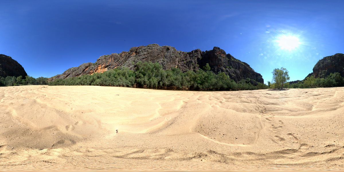
view of the 'Classic Face' of Windjana Gorge, showing different reef facies. Windjana Gorge, W.A. |
500.00 |
-17.41243000000 |
124.96246000000 |
-9999.000 |
Classic Face, Windjana Gorge, Reef Facies, Devonian reef, palaeontology |
limestone, limestone |
WindjanaFSP3 Map
 |
0 |
06/05/2016 noon |
Full Spherical Panorama |
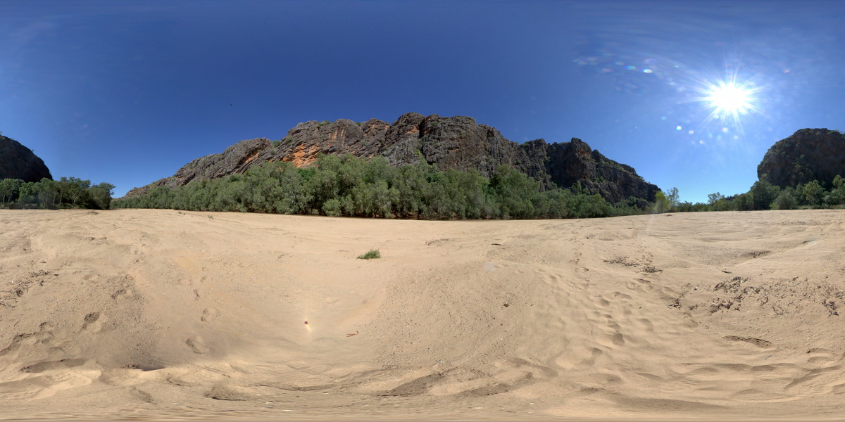
view of the 'Classic Face' of Windjana Gorge, showing different reef facies. Windjana Gorge, W.A. |
500.00 |
-17.41253000000 |
124.96309000000 |
-9999.000 |
palaeontology, Devonian Reef, Classic Face, Windjana Gorge |
limestone, limestone |
SwanseaUAV1 Map
 |
20 |
01/01/9999 midnight |
3D terrestrial photogrammetric model |
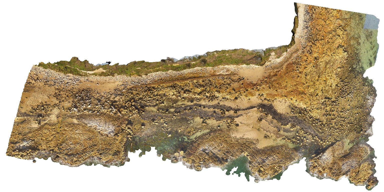
Coastal platform with numerous petrified/coalified tree stumps within tuffaceous rocks of the Permian Boolaroo Formation. Swansea, N.S.W. |
500.00 |
-33.08807500000 |
151.66484200000 |
17.500 |
tuff, petrified forest |
tuff |
BellinghamUAV1 Map
 |
20 |
01/01/9999 midnight |
3D UAV photogrammetric model |
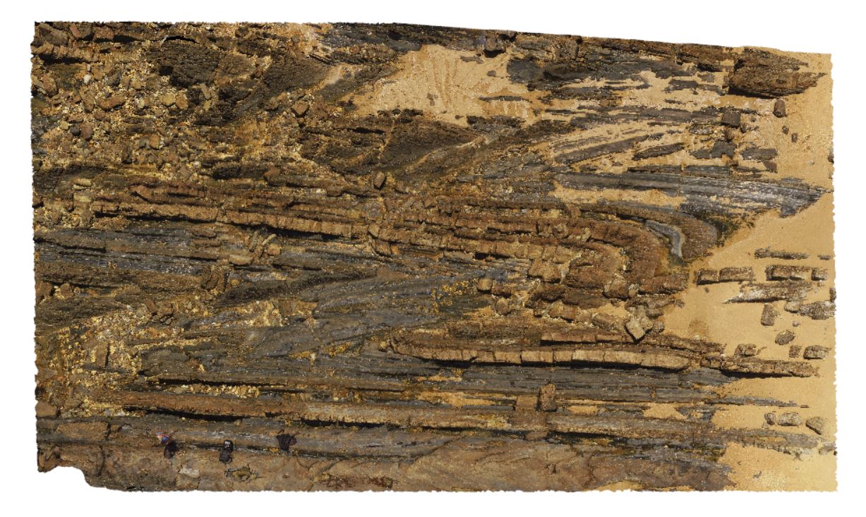
aerial overview of folded and faulted, thick turbidite package at Bellingham, NE Tasmania. View taken from 60m above the ground. |
500.00 |
-41.00721400000 |
147.16257300000 |
186.700 |
structure, turbidite package, fold, fault |
turbidite |
GawlerUAV2 Map
 |
0 |
10/20/2015 4:08 p.m. |
3D UAV photogrammetric model |
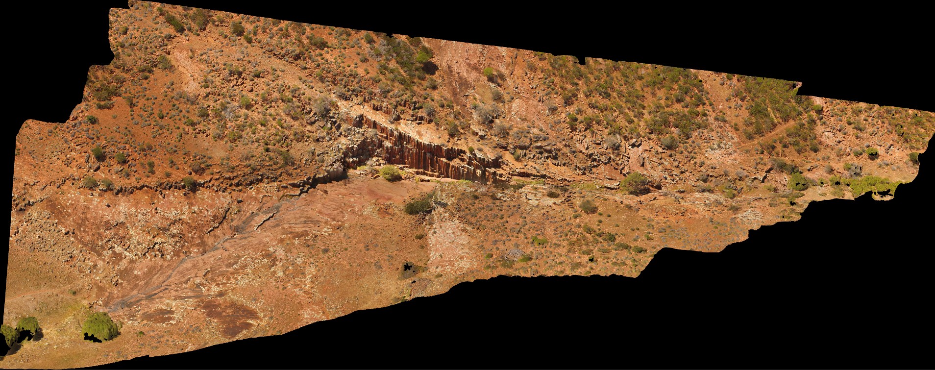
aerial view of Kolar Falls, showing columnar dacite. Mount Fairview, Gawler Ranges. |
500.00 |
-32.56346300000 |
135.57600000000 |
-9999.000 |
columnar, joint, dacite |
dacite |
KakaduFSP7 Map
 |
0 |
06/25/2016 noon |
Full Spherical Panorama |
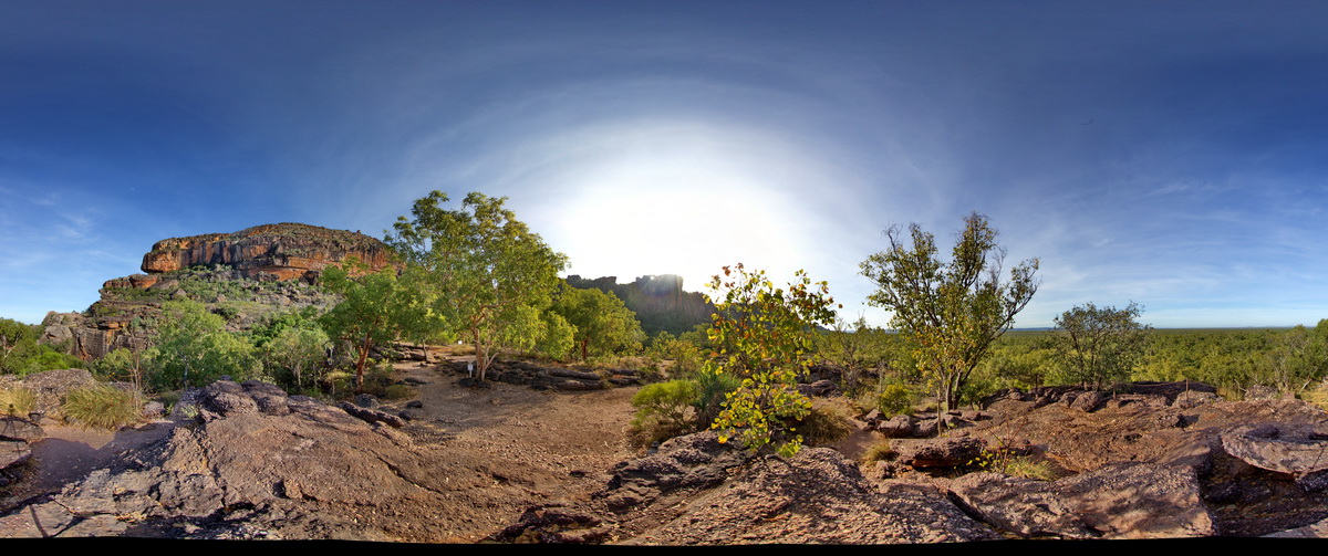
view of sandstone escarpment in background and conglomerate (as in site Kakadu5) in foreground. . Nourlangie Rock Art Site. Kakadu National Park, N.T. |
500.00 |
-12.86476000000 |
132.81610000000 |
-9999.000 |
conglomerate, sedimentology, sandstone |
sandstone |
CornyFSP2 Map
 |
0 |
01/27/2016 11:40 a.m. |
Full Spherical Panorama |
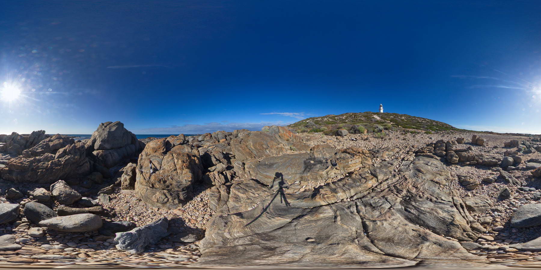
shoreline exposure of banded and folded gneiss. Point Corny. S.A. |
500.00 |
-34.89585000000 |
137.01038000000 |
-9999.000 |
folded, gneiss, metamorphic |
gneiss |
ULURUFSP2 Map
 |
5 |
07/30/2016 12:38 p.m. |
Full Spherical Panorama |
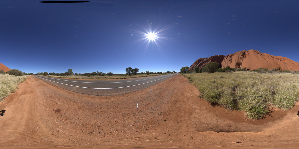
view large surface of Uluru, showing sub-vertical bedding in Mutitjulu Arkose. Uluru, N.T. |
500.00 |
-25.34001400000 |
131.02446100000 |
524.355 |
Uluru, Mutitjulu Arkose, bedding, structure |
arkose |
KakaduFPS6 Map
 |
0 |
06/25/2016 noon |
Full Spherical Panorama |
view of sandstone escarpment and cross bedding in sandstone at Bardedjilidji Walk. Kakadu National Park, N.T. |
500.00 |
-12.43680000000 |
132.97054000000 |
-9999.000 |
sandstone, cross bedding, Kakadu National Park |
sandstone |
WindjanaFSP1 Map
 |
0 |
06/05/2016 noon |
Full Spherical Panorama |
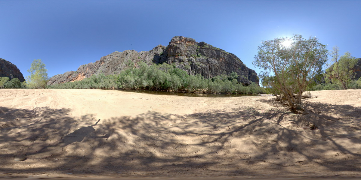
view of the 'Classic Face' of Windjana Gorge, showing different reef facies. Windjana Gorge, W.A. |
500.00 |
-17.41155000000 |
124.96238000000 |
-9999.000 |
palaeontology, fossil, Classic Face, reef |
limestone, limestone |
GibbRiverFSP3 Map
 |
0 |
06/06/2016 noon |
Full Spherical Panorama |
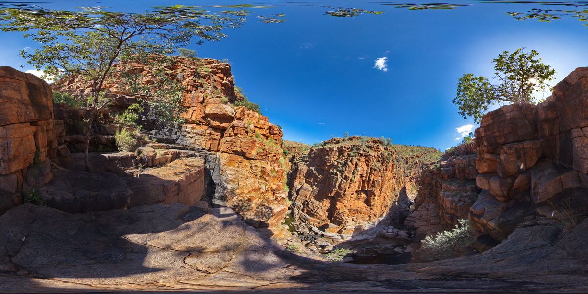
view along Lennard Gorge in the O'Donnell Formation sandstone. Lennard Gorge Road, W.A. |
500.00 |
-17.17692000000 |
125.19952000000 |
-9999.000 |
sandstone, gorge, sedimentology |
sandstone |
GibbRiverFSP4 Map
 |
0 |
06/06/2016 noon |
Full Spherical Panorama |
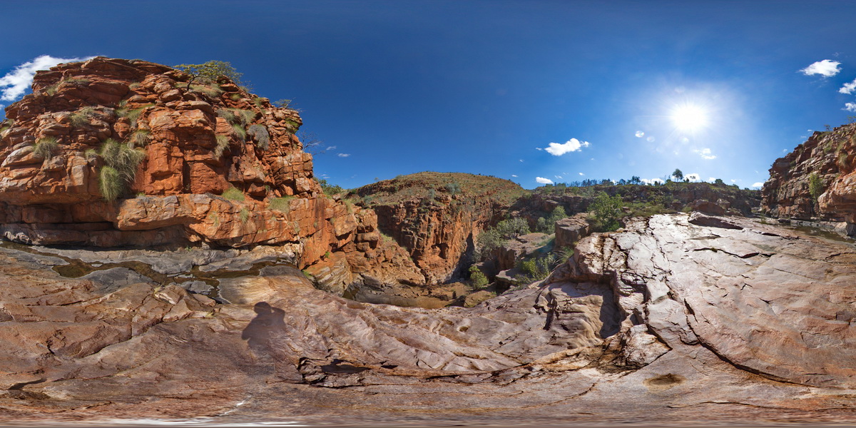
view along and into Lennard Gorge in the O'Donnell Formation sandstone. Lennard Gorge Road, W.A. |
500.00 |
-17.17694000000 |
125.19958000000 |
-9999.000 |
O'Donnell Formation, sandstone, gorge, sedimentology |
sandstone |
GibbRiverFSP5 Map
 |
0 |
06/06/2016 noon |
Full Spherical Panorama |
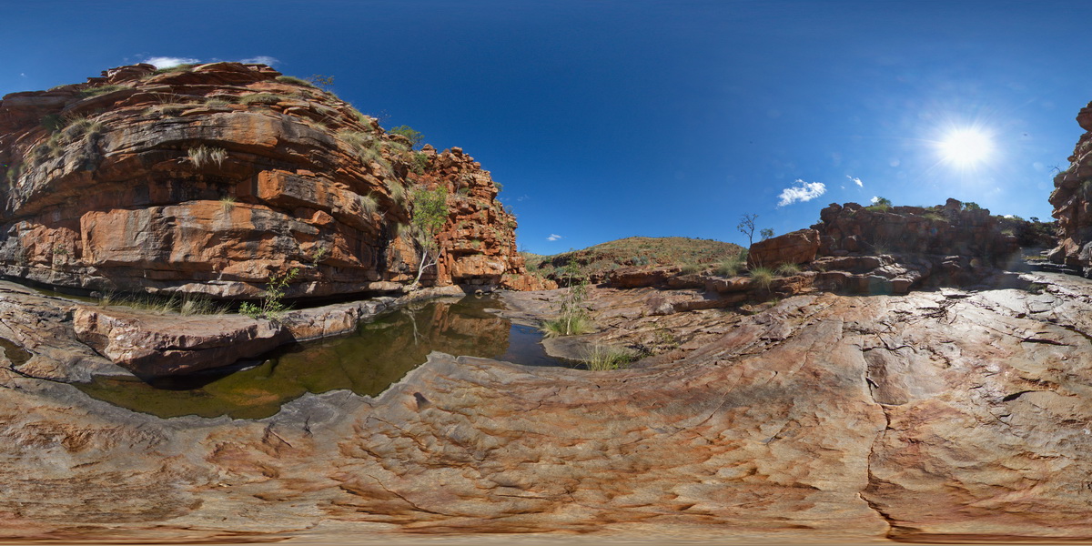
view of sandstone cliffs and ripple marks? In the Lennard Gorge. Lennard Gorge Road, W.A. |
500.00 |
-17.17666000000 |
125.19965000000 |
-9999.000 |
sandstone, ripple mark, sedimentology, gorge |
sandstone |
KakaduFSP1 Map
 |
0 |
06/25/2016 noon |
Full Spherical Panorama |
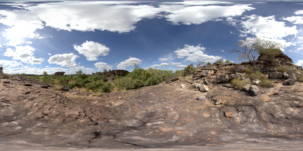
pebbly sandstone in the foreground, surrounded by stacks of shallow dipping sandstone (locally with rock art) in the background. Ubirr Art Site. Kakadu National Park, N.T. |
500.00 |
-12.40792000000 |
132.95520000000 |
-9999.000 |
sandstone, dip, sedimentology, Kakadu National Park |
sandstone |
 AusGeol.org