PricesFSP3 Map
 |
20 |
01/01/9999 midnight |
Full Spherical Panorama |
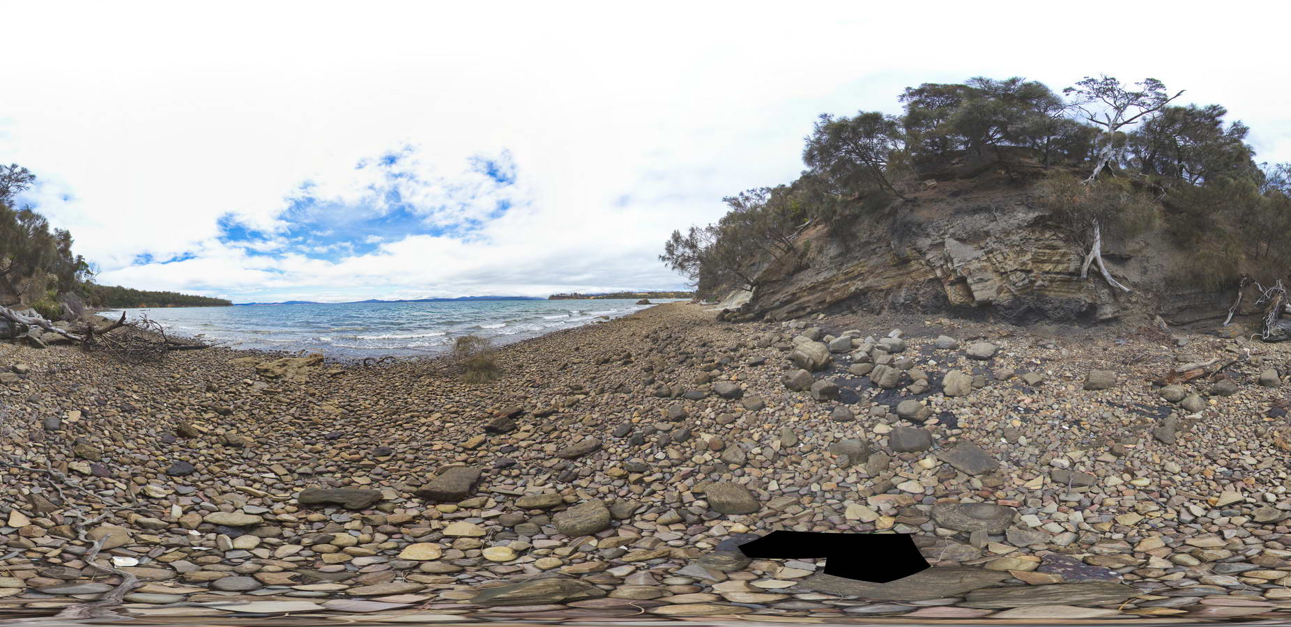
Normal faults disrupting Triassic sandstone and carbonaceous siltstone layers. Prices Point, Tasman Peninsula, Tasmania. |
500.00 |
-43.03491300000 |
147.74760800000 |
0.500 |
normal fault, fault, Triassic, sedimentology |
siltstone |
AlbanyUAV1 Map
 |
0 |
01/01/9999 midnight |
3D UAV photogrammetric model |
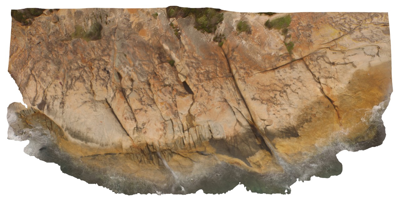
aerial view, showing complex relationships in granite. Porphyritic granite with 'quartzite' xenoliths intruded by grey 'granodiorite' all cut by thin pegmatite dykes. Albany, W.A. |
50.00 |
-35.08986000000 |
117.95056000000 |
-9999.000 |
granite, intrusive contact, xenolith |
granite, granodiorite, porphyry |
CapeAridUAV3 Map
 |
0 |
01/01/9999 midnight |
3D UAV photogrammetric model |
aerial view of folded and sheared gneissic layering and leucosomes, Cape Arid. W.A. |
8.00 |
-33.90668000000 |
123.35332000000 |
-9999.000 |
fold, shear |
gneiss |
Eaglehawk5 Map
 |
5 |
01/01/9999 midnight |
3D terrestrial photogrammetric model |
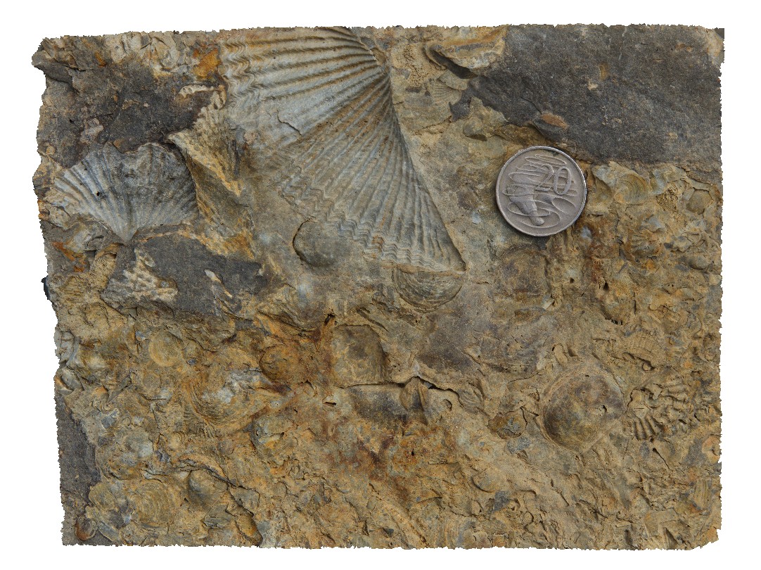
Spiriferid brachiopods and productids in loose boulders. Eaglehawk Neck, Tasmania. |
0.30 |
-43.03430000000 |
147.94918000000 |
-9999.000 |
Spiriferid brachiopods, Productids, brachiopods, fossil, Permian, palaeontology, fossiliferous |
siltstone |
AlbanyFSP7 Map
 |
0 |
01/01/9999 midnight |
Full Spherical Panorama |
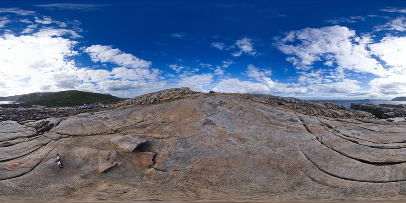
Overall view of the shore exposure at 'The Gap', showing banded granitic gneiss intruded by grey granodiorite. Albany. W.A. |
100.00 |
-35.11848000000 |
117.89305000000 |
-9999.000 |
granodiorite, banded gneiss, igneous contract |
granite gneiss, granodiorite |
RHead8 Map
 |
5 |
01/01/9999 midnight |
3D terrestrial photogrammetric model |
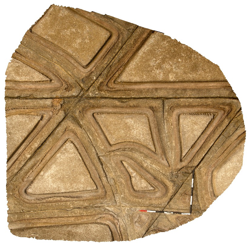
detail of tessellated pavement in Nobbys Tuff. Redhead, N.S.W. |
0.00 |
-33.00633000000 |
151.72971000000 |
-9999.000 |
tessellated pavement, tuff, jointing |
tuff |
AlbanyUAV2 Map
 |
20 |
01/01/9999 midnight |
3D UAV photogrammetric model |
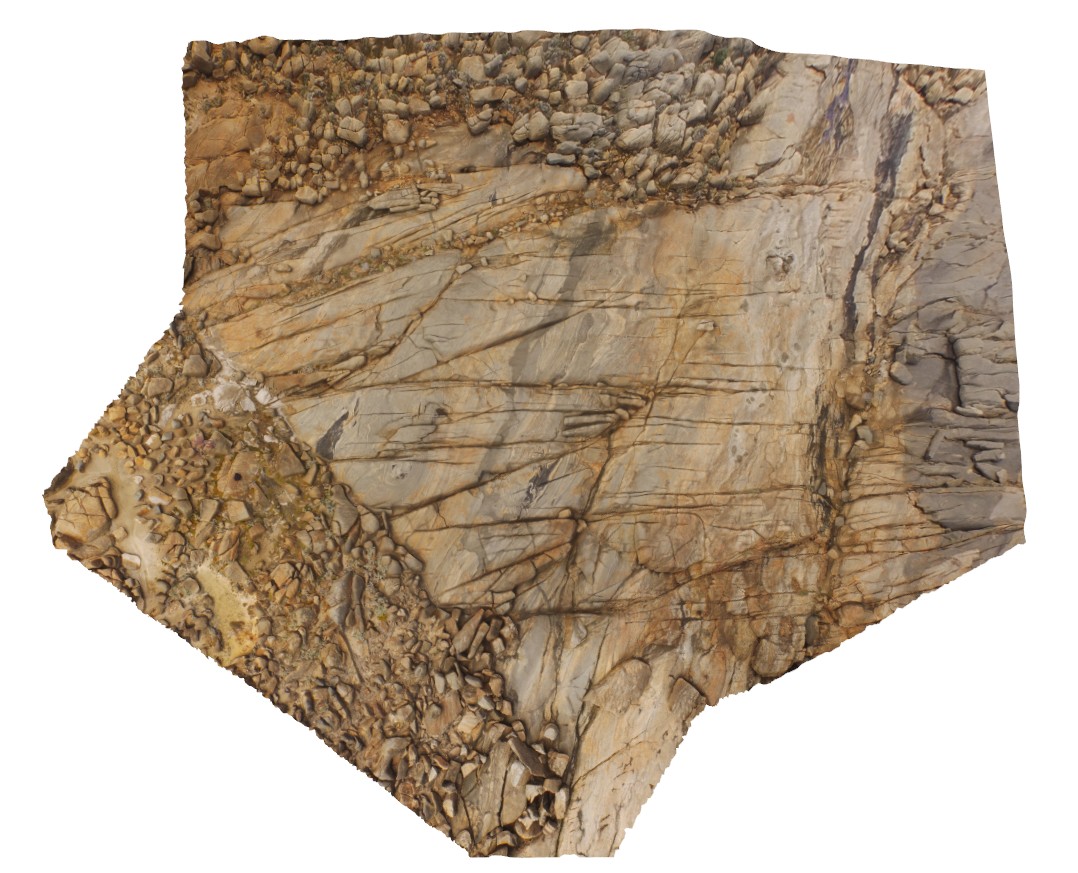
aerial view of granitic rocks with mafic pods intruded by granodiorite at 'The Gap, Albany, W.A. |
50.00 |
-35.11831000000 |
117.89304000000 |
-9999.000 |
granitic gneiss, granodiorite, mafic dyke, igneous intrusion |
granitic gneiss, granodiorite |
Swansea12 Map
 |
5 |
01/01/9999 midnight |
3D terrestrial photogrammetric model |
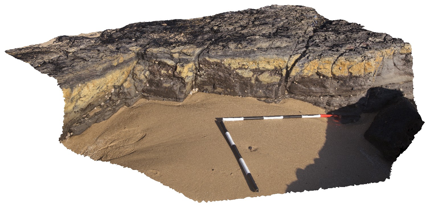
view of part of the Lower Pilot coal seam. Swansea, N.S.W. |
0.00 |
-33.08762000000 |
151.66502000000 |
-9999.000 |
coal, sedimentology |
coal |
Piccaninny10 Map
 |
50 |
01/01/9999 midnight |
3D terrestrial photogrammetric model |
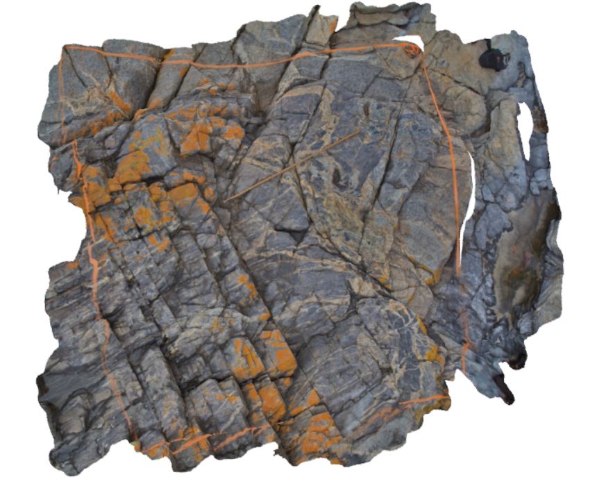
granodiorite dyke with irregular intrusive contact with host turbidite package. Folding is present in the outcrop and in small dykelets. Piccaninny Point, eastern Tasmania. |
2.00 |
-41.69446100000 |
148.29395280000 |
5.000 |
dyke, intrusive contact, fold, structure |
turbidite, granodiorite |
Nugnug2 Map
 |
5 |
01/01/9999 midnight |
3D terrestrial photogrammetric model |
deformation (soft sediment?) in sandstone of the Ordovician Pinnak Sandstone. Nugnug, Vic. |
0.50 |
-36.68110000000 |
146.67729000000 |
240.000 |
folds, structure, sedimentology |
sandstone |
PricesFSP2 Map
 |
20 |
01/01/9999 midnight |
Full Spherical Panorama |
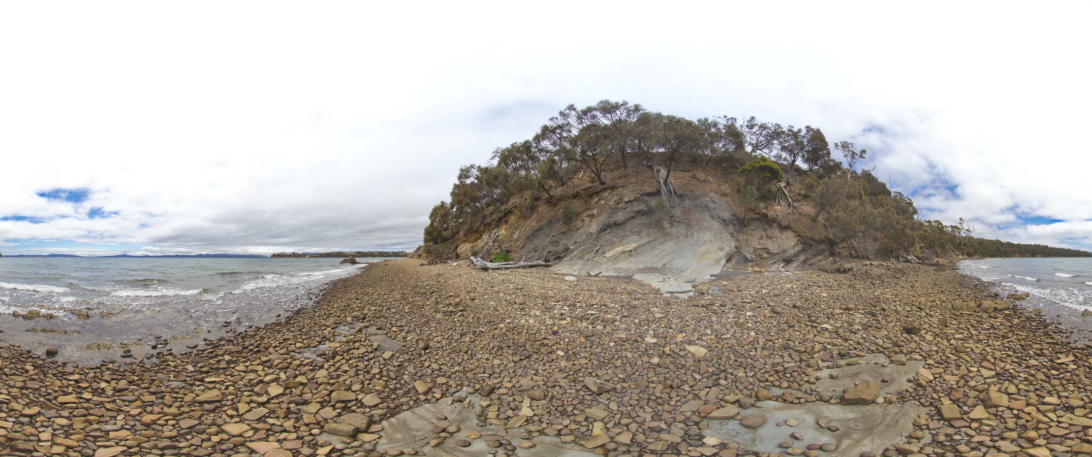
view along beach, showing normal fault offsetting a contact between Triassic sandstone and siltstone. Prices Point, Tasman Peninsula, Tasmania. |
1000.00 |
-43.03500200000 |
147.74783500000 |
0.500 |
normal fault, geological contact, structure |
sandstone, siltstone |
Nugnug1 Map
 |
5 |
01/01/9999 midnight |
3D terrestrial photogrammetric model |
tectonic melange in Ordovician Pinnak Sandstone within the Nug Nug Shear Zone. Nugnug, Vic. |
1.00 |
-36.68114000000 |
146.67752000000 |
240.000 |
melange, mylonite, shear zone, structure |
melange |
AMADUAV2 Map
 |
5 |
01/01/9999 midnight |
3D UAV photogrammetric model |
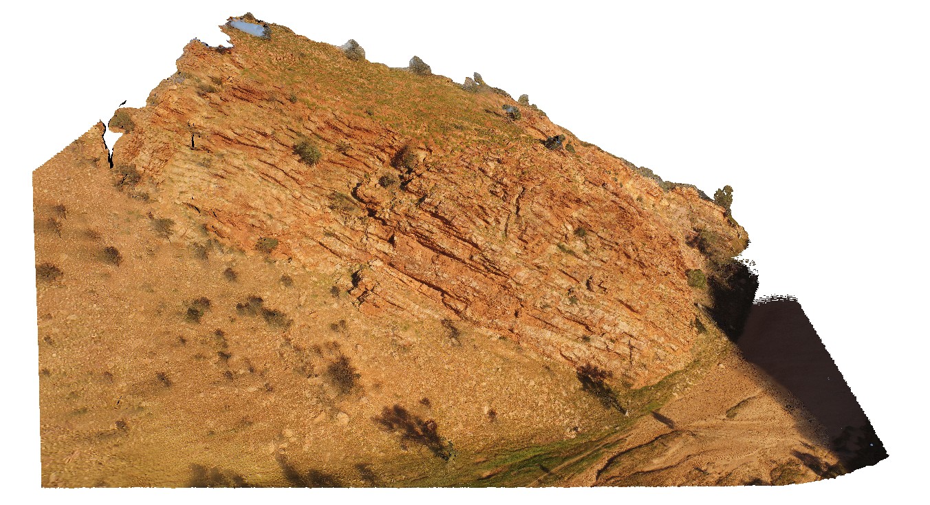
bedding in quartzose Heavitree Sandstone. The Gap, Alice Springs. N.T. |
500.00 |
-23.72543800000 |
133.86616800000 |
534.638 |
bedding, sandstone, sedimentology |
sandstone |
RHead3 Map
 |
5 |
01/01/9999 midnight |
3D terrestrial photogrammetric model |
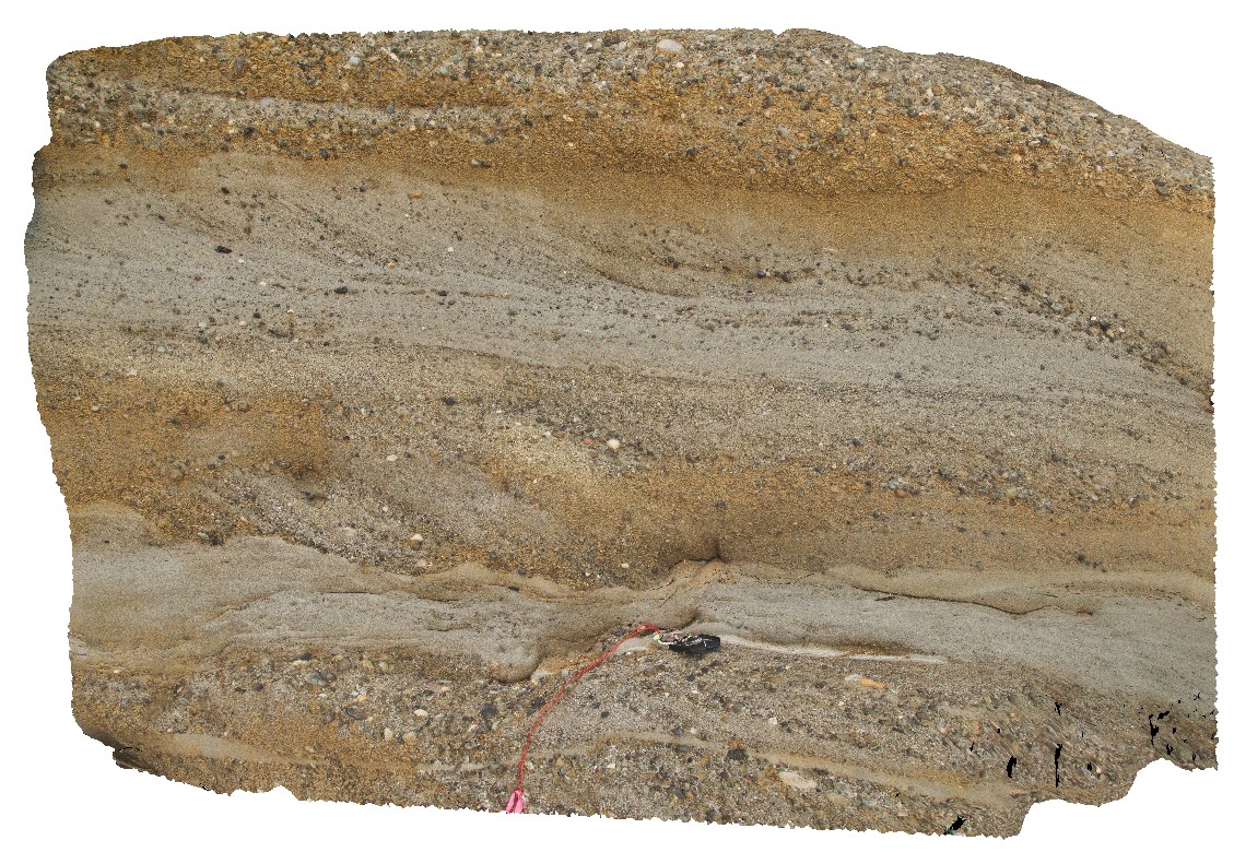
sandy lenses in conglomerate with cross bedding and coaly fragments. Redhead, N.S.W. |
0.00 |
-33.01354000000 |
151.72142000000 |
-9999.000 |
conglomerate, cross bedding, coal, sedimentology |
conglomerate |
PricesFSP6 Map
 |
20 |
01/01/9999 midnight |
Full Spherical Panorama |
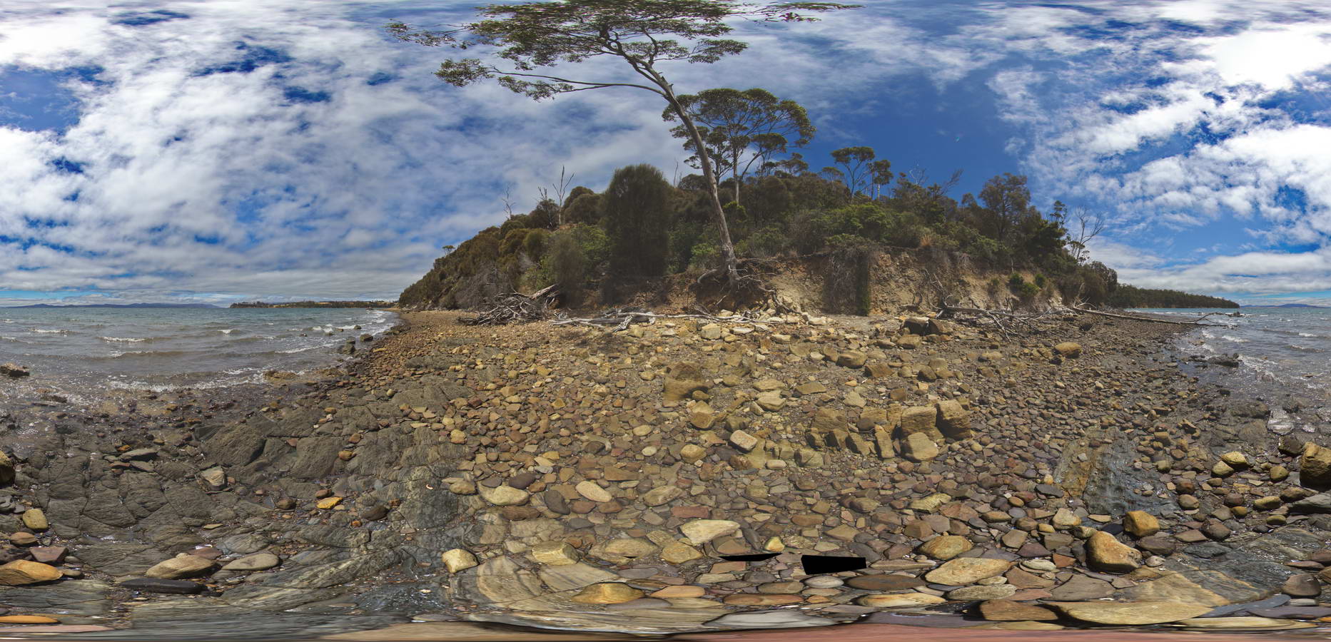
view of shore platform of contact between carbonaceous siltstone and sandstones. Prices Point, Tasman Peninsula, Tasmania. |
250.00 |
-43.03404100000 |
147.74658500000 |
0.500 |
Triassic sedimentary rocks, fluvial facies, sedimentology |
sandstone |
Koonya1 Map
 |
50 |
01/01/9999 midnight |
3D terrestrial photogrammetric model |
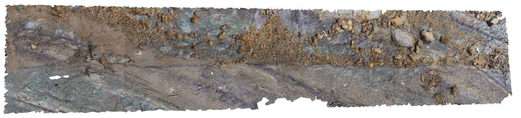
fault cutting bedded siltstone Impression Bay, Tasman Peninsula. Tasmania. |
1.00 |
-43.05406380000 |
147.77316110000 |
0.000 |
fault, structure, sedimentology |
siltstone |
NambuccaGiga2 Map
 |
0 |
01/01/9999 midnight |
Gigapixel image |
Nambucca, N.S.W. |
0.00 |
-30.64857000000 |
153.01886000000 |
-9999.000 |
|
|
Piccaninny9 Map
 |
50 |
01/01/9999 midnight |
3D terrestrial photogrammetric model |
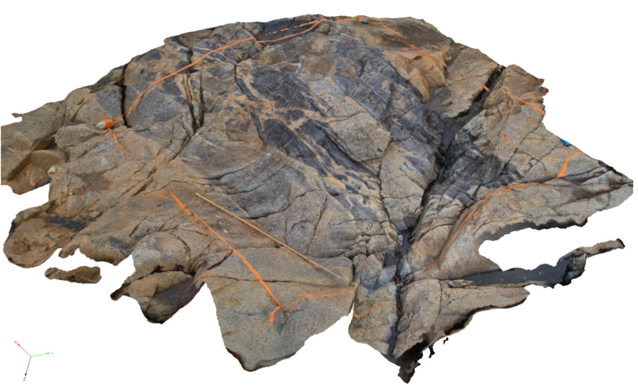
granodiorite with xenoliths of Mathinna Supergroup turbidites. Piccaninny Point, eastern Tasmania. |
2.00 |
-41.69446100000 |
148.29395280000 |
2.000 |
xenolith, granodiorite |
granodiorite |
FingalTas4 Map
 |
0 |
01/01/9999 midnight |
3D terrestrial photogrammetric model |
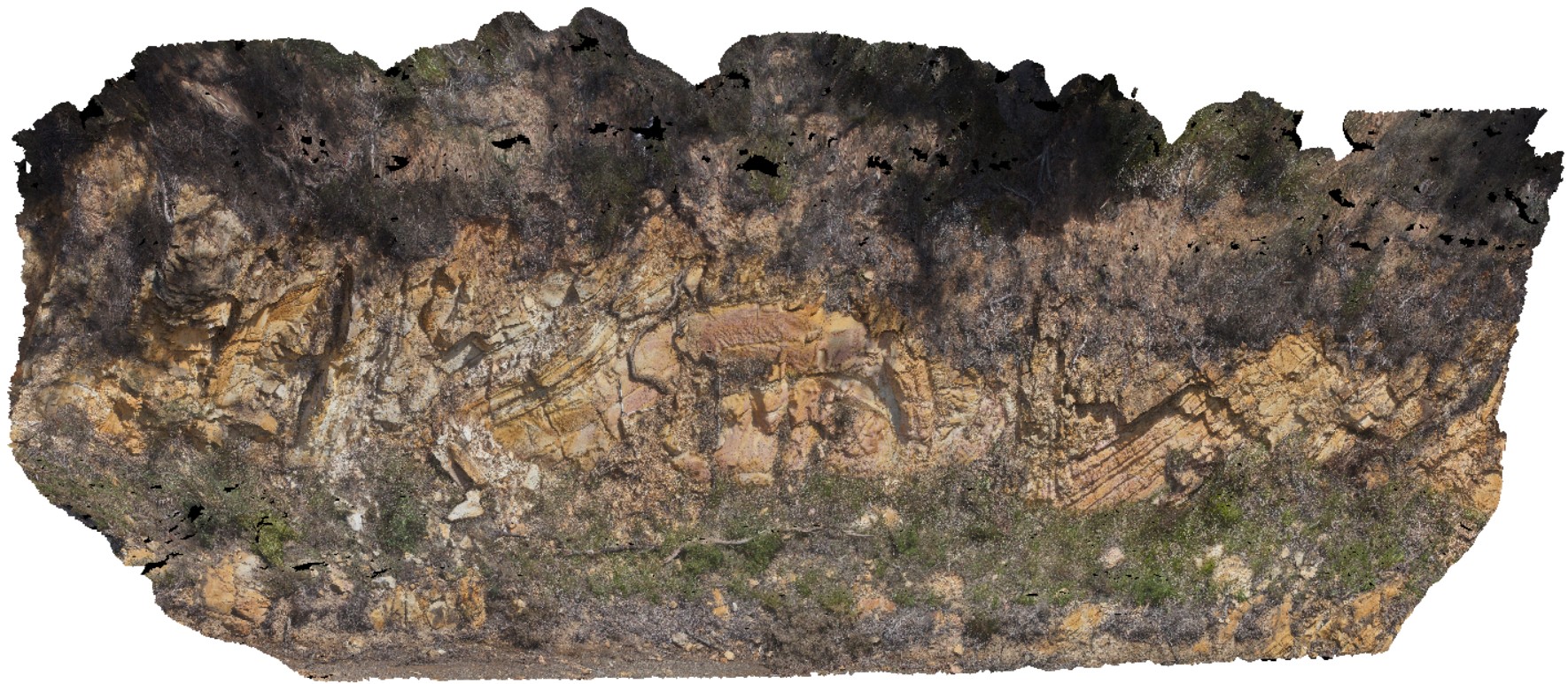
view of Chris Powell's folds at Tallochgoren. Esk Highway, Tasmania. |
15.00 |
-41.65804000000 |
147.91606000000 |
-9999.000 |
fold, synform, antiform |
sandstone |
FingalTas5 Map
 |
0 |
01/01/9999 midnight |
3D terrestrial photogrammetric model |
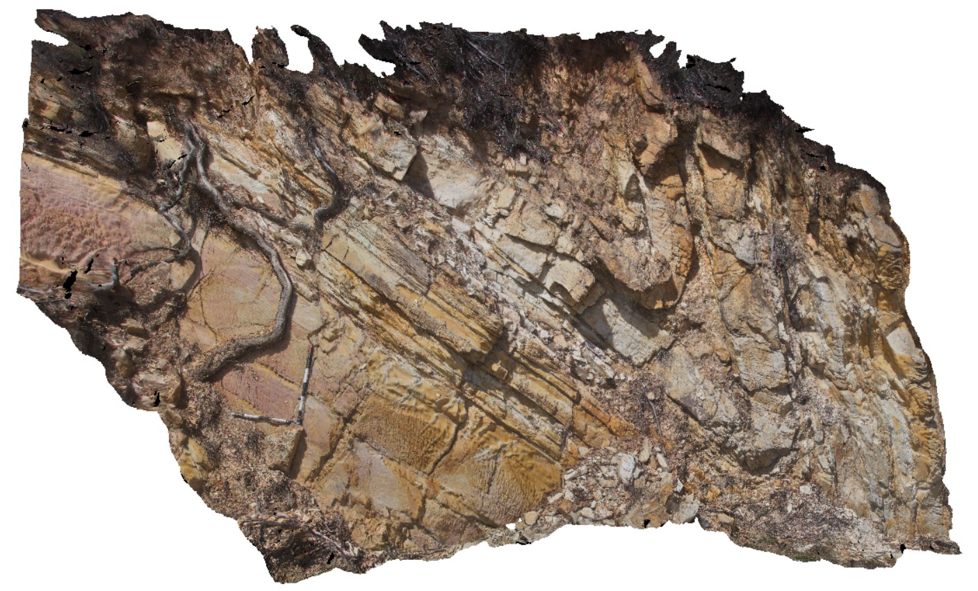
detail of antiform fold, with inclined axial plane, in road cutting. Esk Highway, Tasmania. From image Fingal4. |
6.00 |
-41.65804000000 |
147.91606000000 |
-9999.000 |
axial plane, fold, structure |
sandstone |
Portcampbell1 Map
 |
0 |
01/01/9999 midnight |
3D terrestrial photogrammetric model |
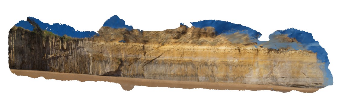
view along south coast of Victoria, showing bedded sediments. Near Port Campbell, Vic. |
1000.00 |
-38.64002770000 |
143.04897780000 |
-9999.000 |
|
|
PricesFSP5 Map
 |
20 |
01/01/9999 midnight |
Full Spherical Panorama |
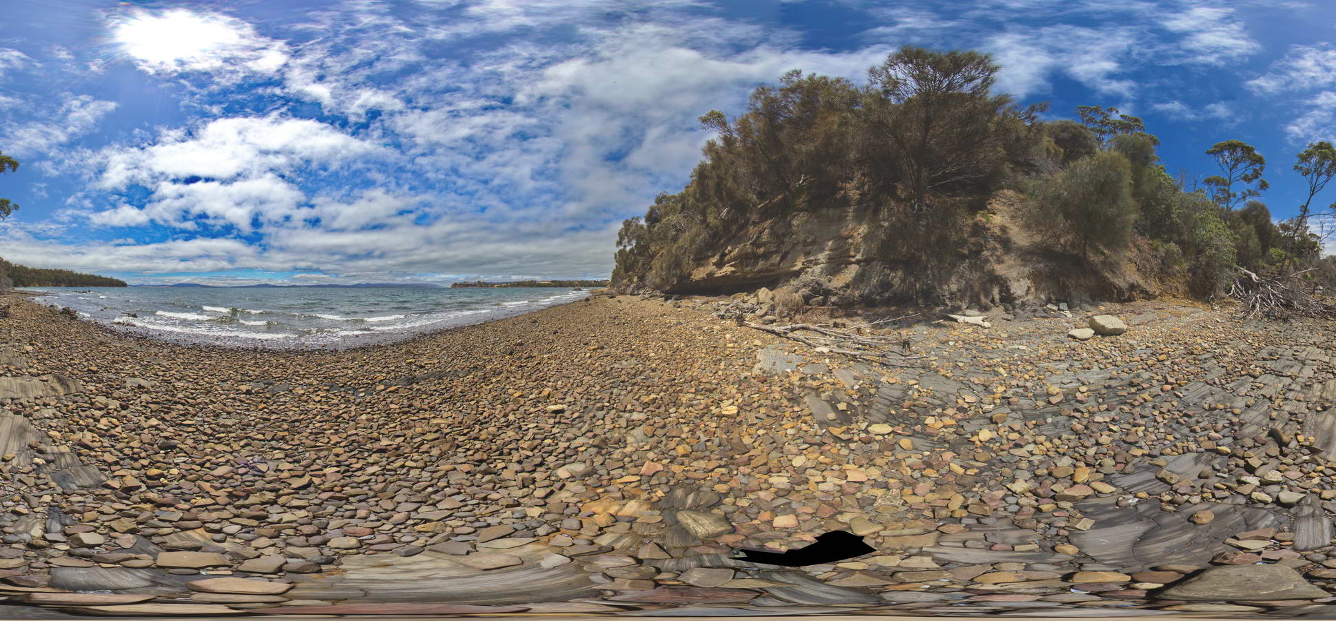
view of contact in base of cliff between underlying carbonaceous siltstone and horizontal siltstone. Prices Point, Tasman Peninsula, Tasmania. |
250.00 |
-43.03404100000 |
147.74658500000 |
0.500 |
geological contact, sedimentology |
siltstone |
NambuccaGiga1 Map
 |
0 |
01/01/9999 midnight |
Gigapixel image |
Nambucca, N.S.W. |
0.00 |
-30.64660000000 |
153.01932000000 |
-9999.000 |
|
|
PricesFSP7 Map
 |
20 |
01/01/9999 midnight |
Full Spherical Panorama |
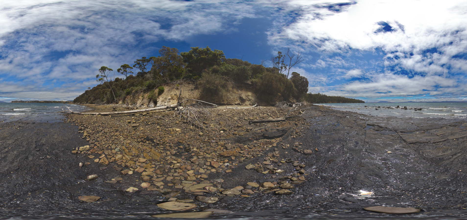
view along shore of contact between underlying dark carbonaceous siltstone and overlying siltstone. Prices Point, Tasman Peninsula, Tasmania. |
250.00 |
-43.03478900000 |
147.74734900000 |
0.500 |
geological contact, carbonaceous siltstone, sedimentological |
siltstone |
Elery11 Map
 |
5 |
01/01/9999 midnight |
3D terrestrial photogrammetric model |
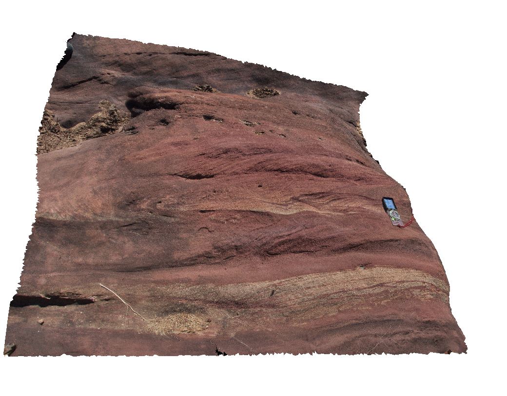
cross bedded red sandstone in Ellery Creek. Ellery Creek Big Hole. West MacDonnell National Park, N.T. |
1.00 |
-23.79572000000 |
133.07445000000 |
-9999.000 |
cross bedding, sandstone, sedimentology |
sandstone |
 AusGeol.org