Thomson1 Map
 |
5 |
05/18/2015 2:17 p.m. |
3D terrestrial photogrammetric model |
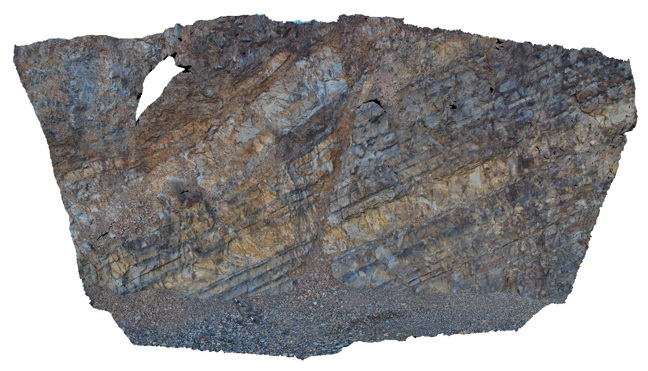
normal? fault in dipping turbidites near the Thomson Dam - fault zone approx. 30 cm wide. Thomson Dam, Walhalla, Vic. |
8.00 |
-37.84397000000 |
146.39761000000 |
-9999.000 |
fault, turbidite, structure, sedimentology |
turbidite |
Pedder12 Map
 |
5 |
05/04/2016 12:38 p.m. |
3D terrestrial photogrammetric model |
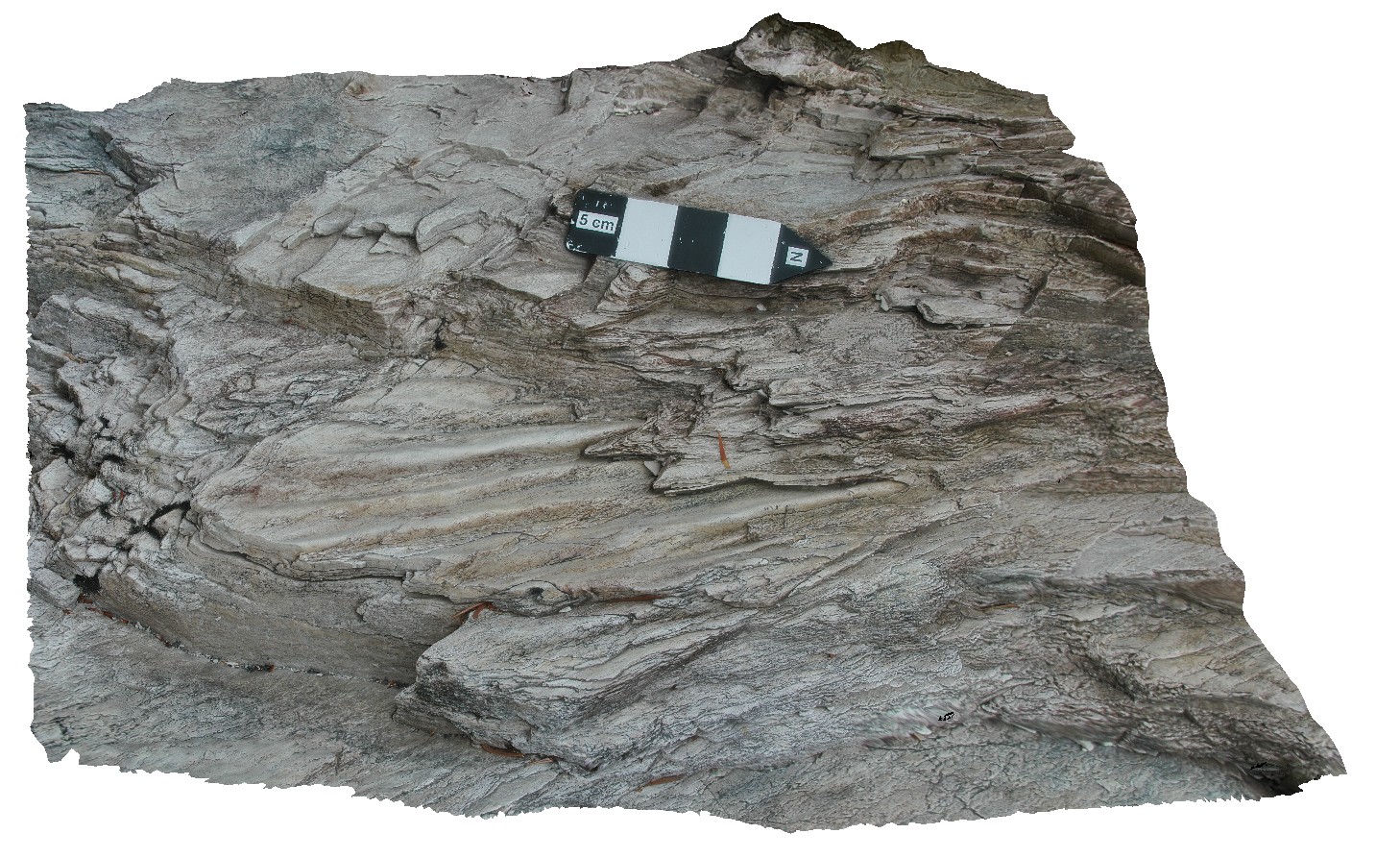
preserved ripple marks in bedded, folded quartzite. Lake Pedder, south west Tasmania. |
7.75 |
-42.84887512000 |
146.10483247000 |
-9999.000 |
ripple mark, fold, structure, quartzite |
quartzite |
DaisyBanksPit2 Map
 |
20 |
03/17/2015 1:33 p.m. |
3D terrestrial photogrammetric model |
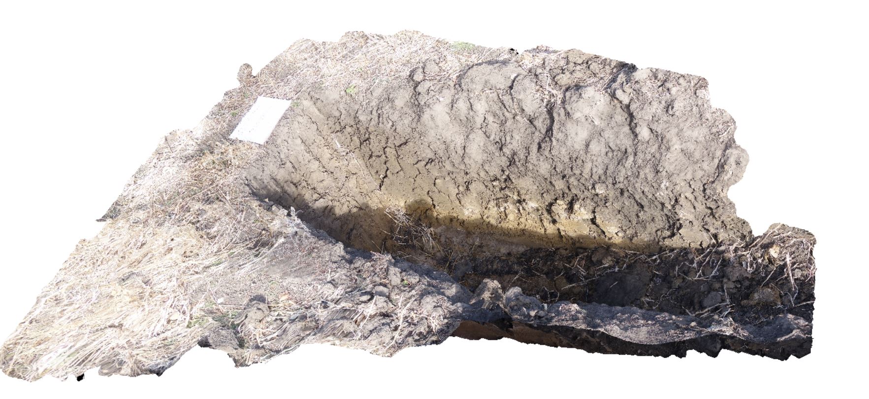
~80cm deep pit into soil and clays overlying quaternary alluvial deposits. Richmond, Tas. |
2.00 |
-42.73141700000 |
147.43138200000 |
-9999.000 |
clay, alluvium, regolith |
clay |
Liptrap4 Map
 |
0 |
03/13/2015 9:21 a.m. |
3D terrestrial photogrammetric model |
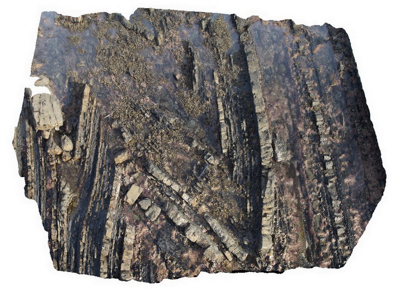
open to closed folding of sandstone and siltstone layers in distal turbidites. Cape Liptrap, Vic. |
6.00 |
-38.90403052000 |
145.91719914000 |
-9999.000 |
turbidite, sedimentology, fold |
turbidite |
DaisyBanksPit13 Map
 |
20 |
03/23/2015 12:07 p.m. |
3D terrestrial photogrammetric model |
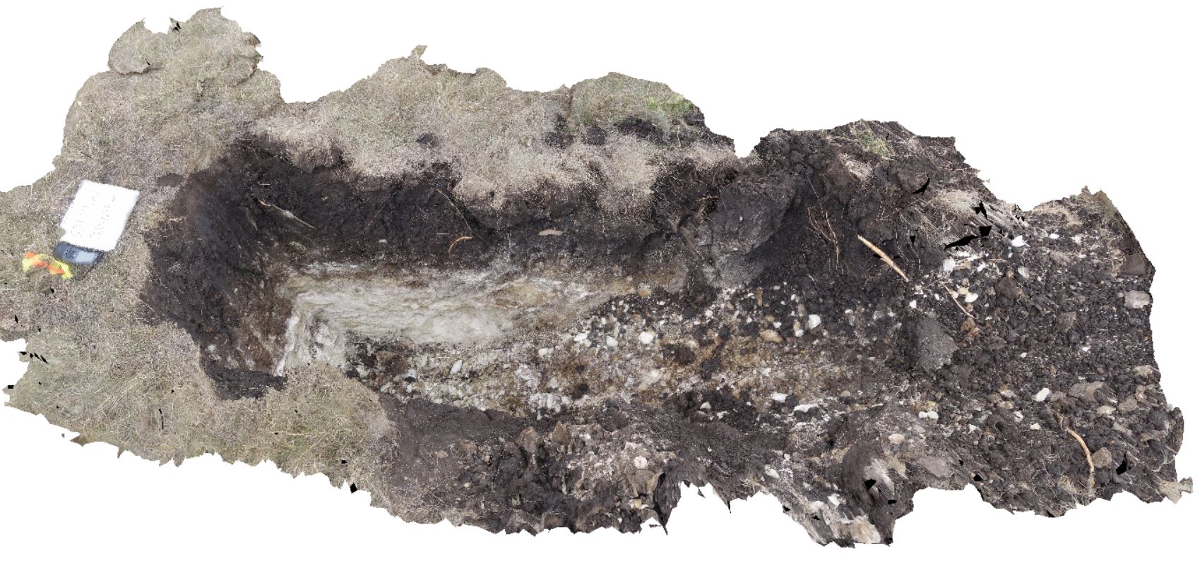
~80cm pit into dark grey sandy soils and white-brown sandy clay overlying Jurassic Dolerite. Richmond, Tas. |
2.00 |
-42.72961200000 |
147.42258600000 |
-9999.000 |
clay, Jurassic Dolerite, regolith |
clay |
MyrtleBch2 Map
 |
1 |
06/17/2015 9:23 a.m. |
3D terrestrial photogrammetric model |
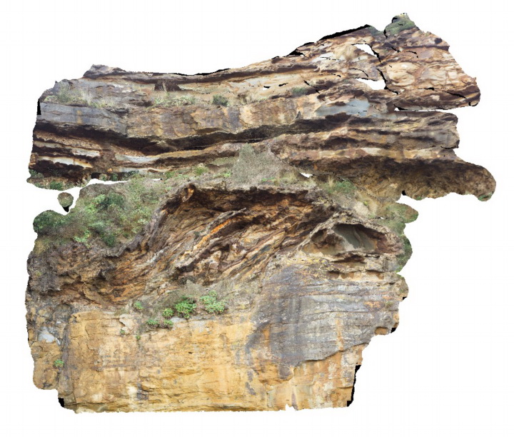
Large (~6m) megaclast of folded Wagonga Group rocks within cliff of Permian Snapper Point Formation. Poor image due to limited vantage points. No scale. Myrtle Beach, N.S.W. |
0.00 |
-35.68269000000 |
150.30045800000 |
-9999.000 |
megaclast, sedimentology |
sandstone |
BHillFSP5 Map
 |
0 |
10/19/2015 9:35 a.m. |
Full Spherical Panorama |
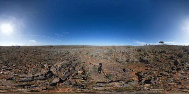
overview of outcropping Sundown Group Metasediments and distant hills. Broken Hill. N.S.W. |
3000.00 |
-31.83376000000 |
141.42818000000 |
-9999.000 |
Sundown Group, metasediments |
metasediments |
BHillFSP6 Map
 |
0 |
10/19/2015 9:39 a.m. |
Full Spherical Panorama |
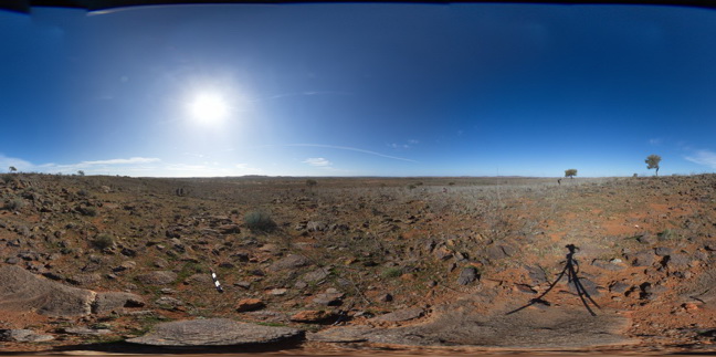
overview of outcropping folded and crenulated Sundown Group Metasediments and distant hills. Broken Hill. N.S.W. |
3000.00 |
-31.83335000000 |
141.42799000000 |
-9999.000 |
Sundown Group, crenulation cleavage |
metasediment |
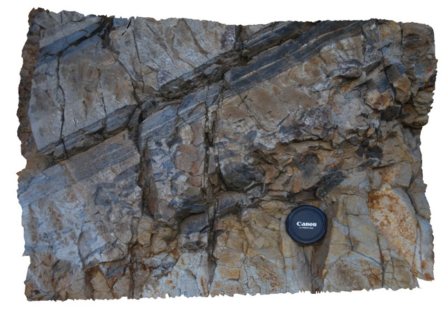
Thomson2 Map
 |
5 |
05/18/2015 2:17 p.m. |
3D terrestrial photogrammetric model |
Detail of mudstone rip up clasts in sandstone matrix - same exposure as Thomson1. Thomson Dam, Walhalla, Vic. |
0.50 |
-37.84397000000 |
146.39761000000 |
-9999.000 |
sandstone, siltstone, turbidite, rip-up clasts, sedimentology |
sandstone |
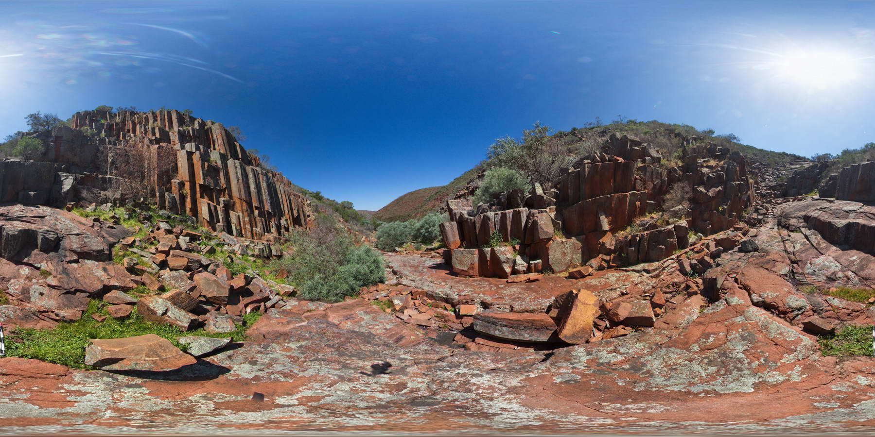
GawlerFSP5 Map
 |
0 |
01/26/2016 3:43 p.m. |
Full Spherical Panorama |
columnar dacite walls of 'Organ pipe' Gorge, Gawler Ranges. |
100.00 |
-32.53904000000 |
135.29643000000 |
-9999.000 |
columnar, dacite, joint |
dacite |
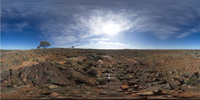
BHillFSP11 Map
 |
0 |
10/19/2015 10:29 a.m. |
Full Spherical Panorama |
overview of outcropping folded Sundown Group Metasediments and pegmatite? (pale coloured) Broken Hill. N.S.W. |
3000.00 |
-31.83339000000 |
141.42923000000 |
-9999.000 |
Sundown Group, metasediments, pegmatite |
metasediment, Pegmatite |
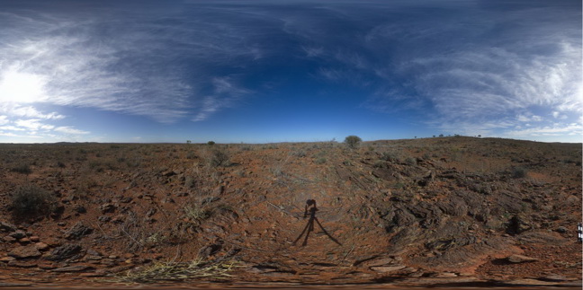
BHillFSP12 Map
 |
0 |
10/19/2015 10:33 a.m. |
Full Spherical Panorama |
overview of outcropping folded and banded / bedded Sundown Group Metasediments, Broken Hill. N.S.W. |
3000.00 |
-31.83396000000 |
141.43024000000 |
-9999.000 |
Sundown Group, metasediment, fold, structure |
metasediment |
LordHowe7 Map
 |
0 |
03/16/2015 2:52 p.m. |
3D terrestrial photogrammetric model |
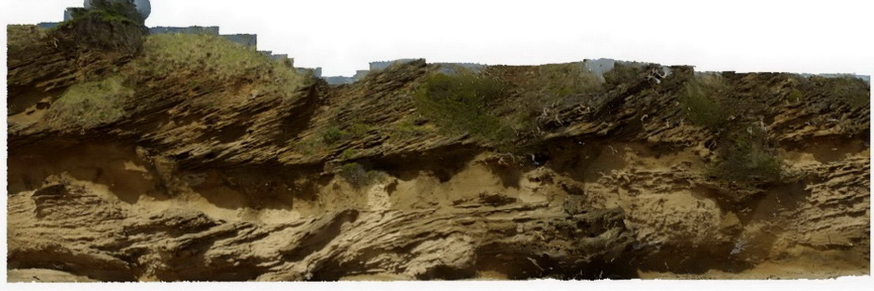
cross bedding in calcareous sands, showing high-angle beds truncated by flat overlying layers. Lord Howe Island. |
5.00 |
-31.54798706000 |
159.07471865000 |
-9999.000 |
sedimentology, cross bedding |
sand |
BHillFSP15 Map
 |
0 |
10/19/2015 10:51 a.m. |
Full Spherical Panorama |
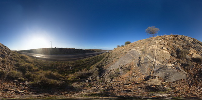
road cutting, showing steeply plunging?, tight parasitic folds in banded gneiss. Broken Hill. N.S.W. |
200.00 |
-32.00617000000 |
141.29002000000 |
-9999.000 |
parasitic fold, structure |
gneiss |
BHillFSP17 Map
 |
0 |
10/19/2015 10:59 a.m. |
Full Spherical Panorama |
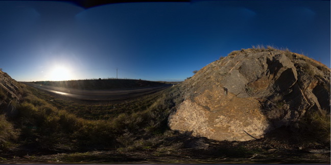
road cutting through Rasp Ridge Granite Gneiss, showing small scale folding in fine banding and joint surfaces. Broken Hill. N.S.W. |
200.00 |
-32.00624000000 |
141.28984000000 |
-9999.000 |
fold, joint surface |
gneiss |
BHillFSP18 Map
 |
0 |
10/19/2015 11:02 a.m. |
Full Spherical Panorama |
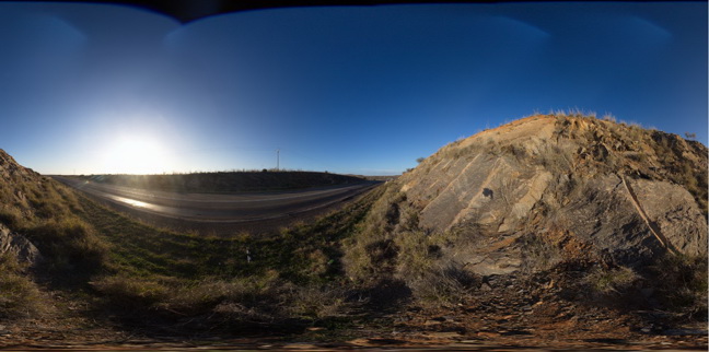
road cutting, showing fracture surfaces in gneiss. Broken Hill. N.S.W. |
200.00 |
-32.00624000000 |
141.28973000000 |
-9999.000 |
gneiss, fracture surface |
gneiss |
Thomson3 Map
 |
5 |
05/18/2015 2:18 p.m. |
3D terrestrial photogrammetric model |
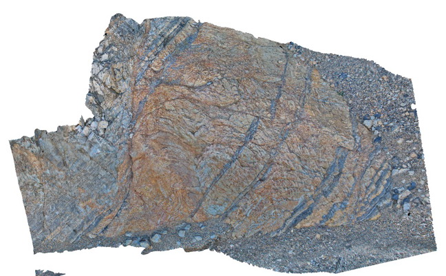
Faults cutting turbiditic sediments of the Devonian Norton Gully Sandstone - main fault zone up to 1m thick. Thomson Dam, Walhalla, Vic. |
10.00 |
-37.84430000000 |
146.39732000000 |
-9999.000 |
turbidite, fault, sedimentology, structure |
turbidite |
NambuccaGiga1 Map
 |
0 |
01/01/9999 midnight |
Gigapixel image |
Nambucca, N.S.W. |
0.00 |
-30.64660000000 |
153.01932000000 |
-9999.000 |
|
|
Mathinna1 Map
 |
5 |
03/13/2015 9:01 a.m. |
3D terrestrial photogrammetric model |
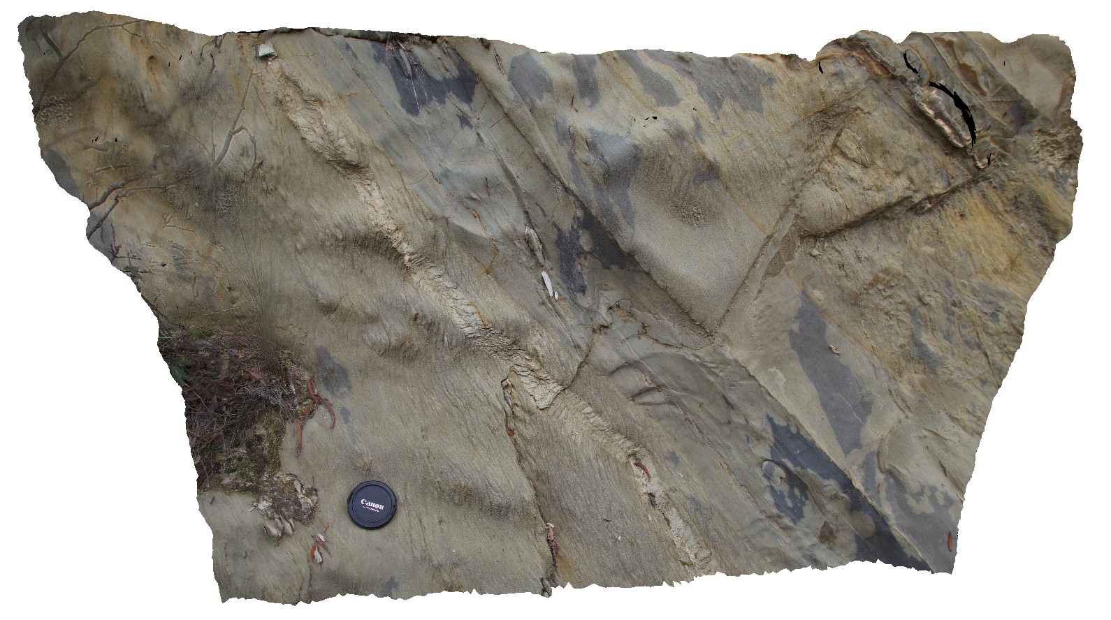
outcrop of proximal turbidite in Mathinna Group sediments, with shear kink band. Mathinna Rd. Tasmania. |
1.00 |
-41.47834957000 |
147.95035485000 |
-9999.000 |
kink band, shear, structure, turbidite |
turbidite |
Mathinna5 Map
 |
5 |
03/13/2015 9:01 a.m. |
3D terrestrial photogrammetric model |
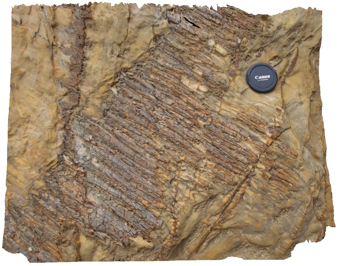
'rod' shaped quartz vein boudins in deformed Mathinna Supergroup sandstone. Mathinna Road, Tas. |
0.40 |
-41.47868108000 |
147.95142611000 |
-9999.000 |
turbidite, boudinage, boudin, rod, quartz vein |
sandstone |
DaisyBanksPit14 Map
 |
20 |
03/24/2015 10:06 a.m. |
3D terrestrial photogrammetric model |
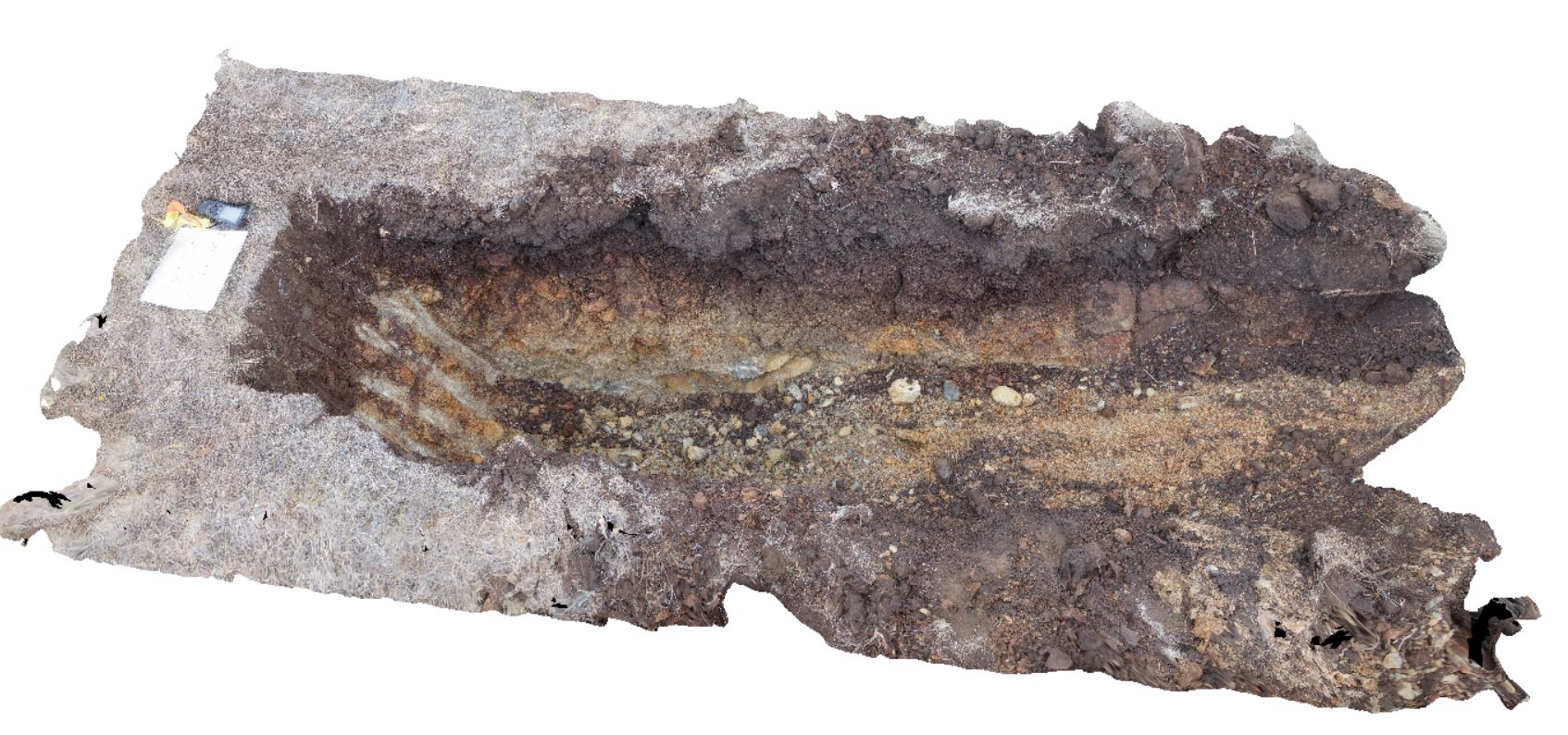
~80cm pit into dark grey sandy soils and white-brown sandy clay overlying Jurassic Dolerite. Richmond, Tas. |
2.00 |
-42.73006300000 |
147.42246700000 |
-9999.000 |
Clay, Jurassic Dolerite, regolith |
Clay |
RochesMontane Map
 |
1 |
06/17/2015 11:10 a.m. |
3D terrestrial photogrammetric model |
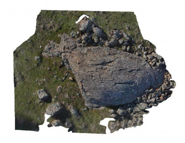
Roche moutonnée developed in massive sandstone of the Castlemaine Group on the unconformity surface with the overlying Permo-Carboniferous Baccus Marsh Formation. Heathcote-Spring Plains Rd. VIC. |
5.00 |
-36.99953000000 |
144.64200000000 |
-9999.000 |
Roche moutonnée, geomorphology, glacial landform |
sandstone |
Valla1 Map
 |
1 |
06/16/2015 5:43 p.m. |
3D terrestrial photogrammetric model |
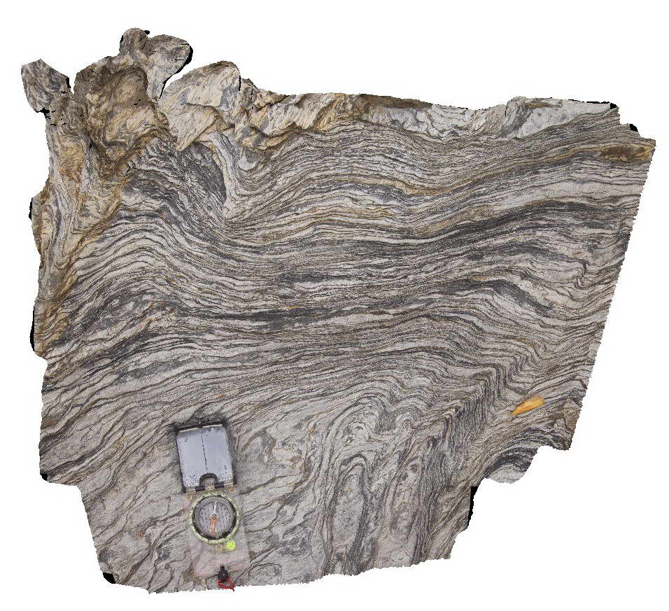
Phyllite in horizontal cleavage. Valla Beach, N.S.W. |
0.70 |
-30.59363000000 |
153.01398000000 |
-9999.000 |
cleavage |
phyllite |
CanberraGiga1 Map
 |
1 |
06/17/2015 10:27 a.m. |
Gigapixel image |
— |
0.00 |
-35.30408000000 |
149.12651000000 |
-9999.000 |
|
|
Olary63 Map
 |
0 |
09/27/2015 6:33 p.m. |
3D terrestrial photogrammetric model |
tightly folded psammopelitic metasediments of the Bimba Formation, Olary. S.A. |
2.20 |
-32.11303000000 |
140.30257000000 |
-9999.000 |
fold, psammopelite |
psammopelite |
 AusGeol.org