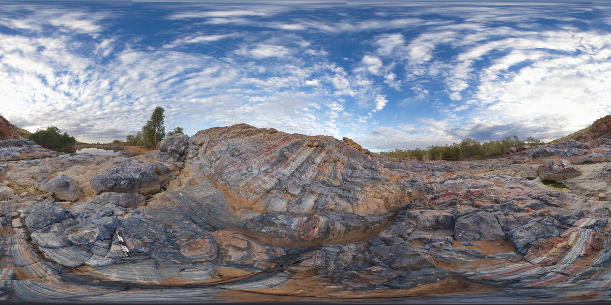
MunjinaGiga2 Map
 |
0 |
05/31/2016 noon |
GIGA |
— |
0.00 |
-22.41183000000 |
118.68569000000 |
-9999.000 |
|
|
MunjinaGiga1 Map
 |
0 |
05/31/2016 noon |
GIGA |
— |
0.00 |
-22.41183000000 |
118.68569000000 |
-9999.000 |
|
|
GibbRiverGIG1 Map
 |
0 |
06/06/2016 noon |
GIGA |
— |
0.00 |
-15.91240000000 |
128.17818000000 |
-9999.000 |
|
|
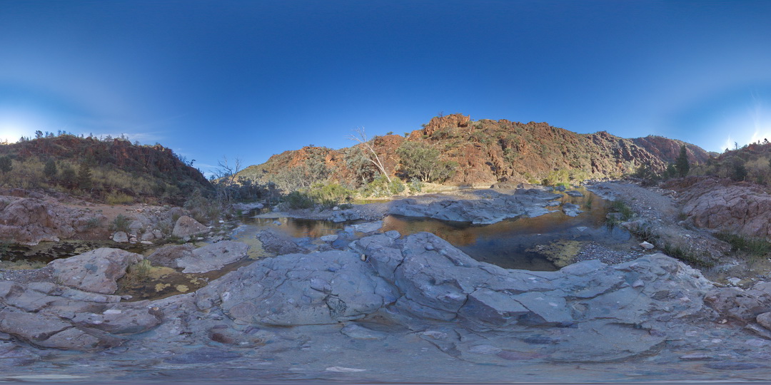
MitchellGIGa1 Map
 |
0 |
06/08/2016 noon |
GIGA |
Port Warrender Road, Kimberley. W.A. |
0.00 |
-14.56782000000 |
125.84389000000 |
-9999.000 |
|
|
DixonRangeGIGa1 Map
 |
0 |
06/13/2016 noon |
GIGA |
steep fault in metasediments. Dixon Range, north W.A. |
0.00 |
-17.17853000000 |
128.24756000000 |
-9999.000 |
|
|
OatlandsGiga1 Map
 |
0 |
02/23/2016 9:26 a.m. |
GIGA |
unconformity, showing Triassic Sediments overlain by younger, unconsolidated sediments. Oatlands, Tasmania. |
0.00 |
-42.42698000000 |
147.25957000000 |
-9999.000 |
unconformity |
sandstone, talus |
BHillGiga1 Map
 |
0 |
07/14/2015 12:24 p.m. |
GIGA |
Browns Shaft, Junction Mine, image of gossan. Broken Hill. N.S.W. |
0.00 |
-31.95463000000 |
141.47885000000 |
-9999.000 |
gneiss |
gneiss |
BHillGiga2 Map
 |
0 |
07/14/2015 12:49 p.m. |
GIGA |
Road cutting on Adelaide Road showing internally folded gneissic rocks. Broken Hill. N.S.W. |
100.00 |
-32.00634000000 |
141.28964000000 |
-9999.000 |
gneiss |
gneiss |
MallacootaGiga1 Map
 |
0 |
05/18/2015 2:01 p.m. |
GIGA |
location inferred from nearby images. Mallacoota, Vic. |
0.00 |
-37.57225000000 |
149.76472000000 |
-9999.000 |
|
|
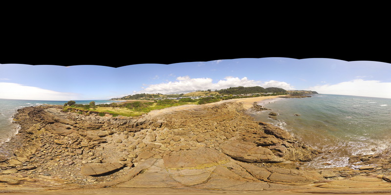
NambuccaGiga3 Map
 |
0 |
01/01/9999 midnight |
GIGA |
Nambucca, N.S.W. |
0.00 |
-30.64876000000 |
153.01909000000 |
-9999.000 |
|
|
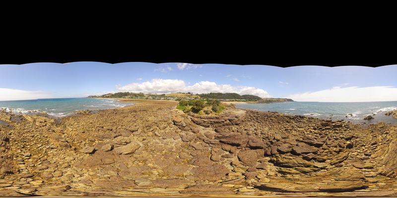
NambuccaGiga2 Map
 |
0 |
01/01/9999 midnight |
GIGA |
Nambucca, N.S.W. |
0.00 |
-30.64857000000 |
153.01886000000 |
-9999.000 |
|
|
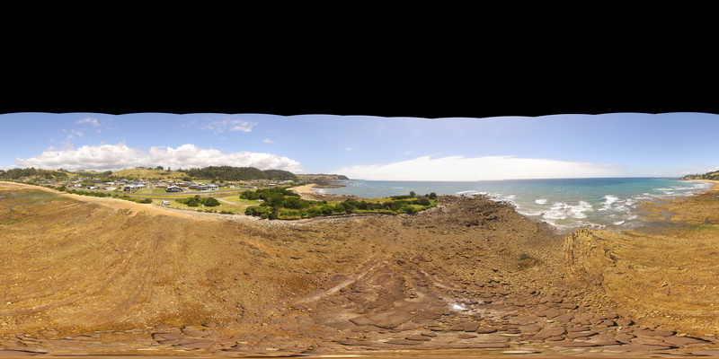
NambuccaGiga1 Map
 |
0 |
01/01/9999 midnight |
GIGA |
Nambucca, N.S.W. |
0.00 |
-30.64660000000 |
153.01932000000 |
-9999.000 |
|
|
TooboracGiga1 Map
 |
5 |
06/17/2015 11:12 a.m. |
GIGA |
folds and faults in fine grained sandstone units of the Silurian Wapentake Formation. Tooborac, Vic. |
15.00 |
-37.02139000000 |
144.88989000000 |
290.000 |
folds, faults, structure |
sandstone |
CanberraGiga1 Map
 |
1 |
06/17/2015 10:27 a.m. |
GIGA |
— |
0.00 |
-35.30408000000 |
149.12651000000 |
-9999.000 |
|
|
CanberraGiga3 Map
 |
1 |
06/17/2015 10:30 a.m. |
GIGA |
— |
0.00 |
-35.30408000000 |
149.12651000000 |
-9999.000 |
|
|
CanberraGiga2 Map
 |
0 |
06/17/2015 10:29 a.m. |
GIGA |
— |
0.00 |
-35.30408000000 |
149.12651000000 |
-9999.000 |
|
|
TowerHillGIGA1 Map
 |
10 |
01/01/9999 midnight |
GIGA |
— |
0.00 |
-38.32723000000 |
142.36790000000 |
-9999.000 |
|
tuff |
MarbleBarFSP2 Map
 |
0 |
06/01/2016 noon |
FSP |
view of moderately dipping layered chert of the Marble Bar across the Coongan River. Marble Bar, W.A. |
1000.00 |
-21.18642000000 |
119.71173000000 |
-9999.000 |
banded chert, Marble Bar Chert Member |
chert |
WeetootlaFSP14 Map
 |
0 |
09/27/2015 4:37 p.m. |
FSP |
view of diamictite in creek bed within Balcanoona Creek. |
0.00 |
-30.48415000000 |
139.24211000000 |
-9999.000 |
sedimentology |
diamictite, mudstone |
ConranFSP3 Map
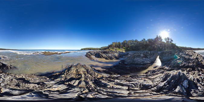 |
5 |
09/02/2015 1:33 p.m. |
FSP |
Folded and faulted turbiditic metasediments of the Ordovician Pinnak Sandstone. Cape Conran, Vic. |
50.00 |
-37.80047000000 |
148.74257000000 |
1.000 |
turbidite, fold, structure, sedimentology |
turbidite |
BurnieFSP1 Map
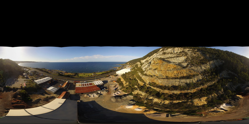 |
5 |
01/01/9999 midnight |
FSP |
view of large quarry outcrop in quartzite? at the entrance to the township of Burnie. Burnie, north Tas. |
0.00 |
-41.06717200000 |
145.94652400000 |
-9999.000 |
quarry, quartzite |
quartzite |
HallPointFSP3 Map
 |
20 |
01/01/9999 midnight |
FSP |
basal Ordovician unconformity with underlying folded Precambrian quartzite. Hall Point, Sulphur Creek. Tasmania. |
500.00 |
-41.09298700000 |
146.02833200000 |
1.000 |
unconformity, metasediments |
quartzite, conglomerate |
HallPointFSP2 Map
 |
20 |
01/01/9999 midnight |
FSP |
basal Ordovician unconformity with underlying folded Precambrian quartzite. Hall Point, Sulphur Creek. Tasmania. |
500.00 |
-41.09298700000 |
146.02833200000 |
1.000 |
unconformity |
quartzite, conglomerate |
HallPointFSP1 Map
 |
20 |
01/01/9999 midnight |
FSP |
basal Ordovician unconformity with underlying folded Precambrian quartzite. Hall Point, Sulphur Creek. Tasmania. |
500.00 |
-41.09298700000 |
146.02833200000 |
1.000 |
unconformity, fold, structure |
quartzite, conglomerate |
SulphurCreekFSP5 Map
 |
5 |
01/01/9999 midnight |
FSP |
shore exposure of faulted contact between basalt and folded sediments. Sulphur Creek, north Tas. |
500.00 |
-41.09097000000 |
146.02003000000 |
1.000 |
fault, contact, metasediments, structure |
mudstone, basalt |