AMAD1
Site:
AMAD1
Downloads:
Map
3D Model:
Description:
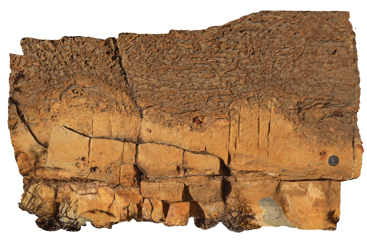
finely layered and folded dolostone (grey) and siltstone (brown) at Corroboree Rock, Amadeus Basin. N.T.
| Capture Date: | July 28, 2016, 9:49 a.m. |
| Latitude: | -23.68094400000 degrees |
| Longitude: | 134.21737300000 degrees |
| Elevation: | 569.980 metres |
| Visualisation Type: | 3D |
| Location Accuracy: | 5 metres |
Keywords:
- dolostone
- fold
- siltstone
- sedimentology
- weathering
| dolostone | |
|---|---|
| Form Type: | bedded |
| Description: | finely layered dolostone and siltstone. Dolostone has sub-rounded, ferruginous clasts. |
| Min Geological Age: | Cryogenian |
| Max Geological Age: | Neoproterozoic |
| Min Numerical Age: | 820.000 |
| Max Numerical Age: | 896.000 |
| Strat No: | 32943 |
| Supergroup: | |
| Group: | Bitter Springs Group |
| Subgroup: | |
| Formation: | Gillen Formation |
| Member: | |
| Province: | Amadeus Basin |