AMADFSP2
Site:
AMADFSP2
Downloads:
Map
Description:
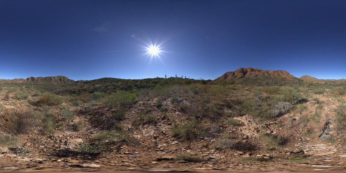
view of chaotic folded sediments from the Bitter Springs Group. Bitter Springs Gorge, N.T.
| Capture Date: | July 27, 2016, 10:41 a.m. |
| Latitude: | -23.54297700000 degrees |
| Longitude: | 134.46775700000 degrees |
| Elevation: | 551.281 metres |
| Visualisation Type: | FSP |
| Location Accuracy: | 5 metres |
Keywords:
- chaotic fold
- fold
- structure
- sediment
- sedimentology
| sediment | |
|---|---|
| Form Type: | bedded |
| Description: | Dolomite, stromatolitic dolomite, siltstone, and sandstone; evaporitic in subsurface. Limestone, siltstone, mudstone. |
| Min Geological Age: | Cryogenian |
| Max Geological Age: | Tonian |
| Min Numerical Age: | 767.000 |
| Max Numerical Age: | 896.000 |
| Strat No: | 79261 |
| Supergroup: | |
| Group: | Bitter Springs Group |
| Subgroup: | |
| Formation: | |
| Member: | |
| Province: | Amadeus Basin |