AMADUAV1
Site:
AMADUAV1
Downloads:
Map
3D Model:
Description:
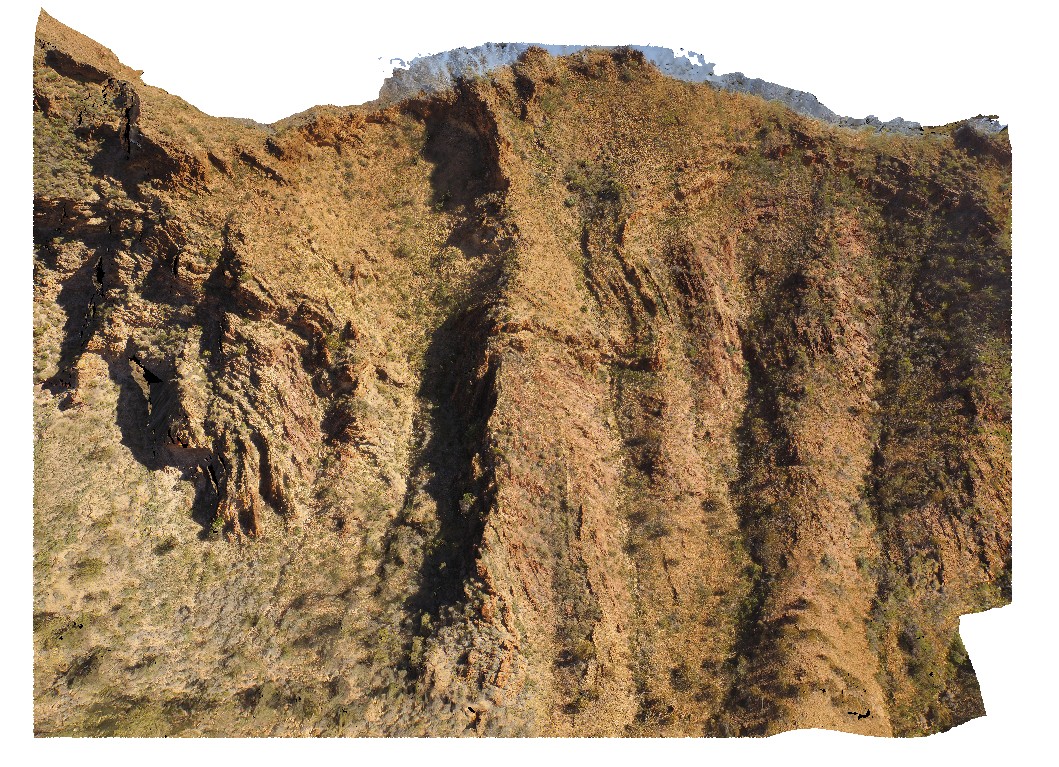
aerial view of chaotic folded sediments from the Bitter Springs Group. Bitter Springs Gorge, N.T.
| Capture Date: | July 27, 2016, 11:20 a.m. |
| Latitude: | -23.54199600000 degrees |
| Longitude: | 134.46085000000 degrees |
| Elevation: | 534.638 metres |
| Visualisation Type: | UAV |
| Location Accuracy: | 5 metres |
Keywords:
- chaotic folding
- sediments
- fold
- structure
- Bitter Springs
| sediments | |
|---|---|
| Form Type: | bedded |
| Description: | Dolomite, stromatolitic dolomite, siltstone, and sandstone; evaporitic in subsurface. Limestone, siltstone, mudstone. |
| Min Geological Age: | Cryogenian |
| Max Geological Age: | Tonian |
| Min Numerical Age: | 767.000 |
| Max Numerical Age: | 896.000 |
| Strat No: | 79261 |
| Supergroup: | |
| Group: | Bitter Springs Group |
| Subgroup: | |
| Formation: | |
| Member: | |
| Province: | Amadeus Basin |