AmadFSP5
Site:
AmadFSP5
Downloads:
Map
Description:
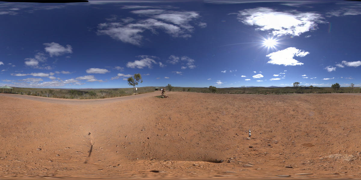
panorama view from western end of Mac Donnell Range from Taylors Pass. Gosse Bluff to the south. N.T.
| Capture Date: | Aug. 1, 2016, 12:07 p.m. |
| Latitude: | -23.67139200000 degrees |
| Longitude: | 132.36578700000 degrees |
| Elevation: | 832.751 metres |
| Visualisation Type: | FSP |
| Location Accuracy: | 5 metres |
Keywords:
- conglomerate
| conglomerate | |
|---|---|
| Form Type: | bedded |
| Description: | Polymictic conglomerate with sedimentary clasts, sandstone lenses. |
| Min Geological Age: | Carboniferous |
| Max Geological Age: | Late Devonian |
| Min Numerical Age: | 354.000 |
| Max Numerical Age: | 365.000 |
| Strat No: | 2526 |
| Supergroup: | |
| Group: | Pertnjara Group |
| Subgroup: | |
| Formation: | Brewer Conglomerate |
| Member: | |
| Province: | Amadeus Basin |