AmadFSP6
Site:
AmadFSP6
Downloads:
Map
Description:
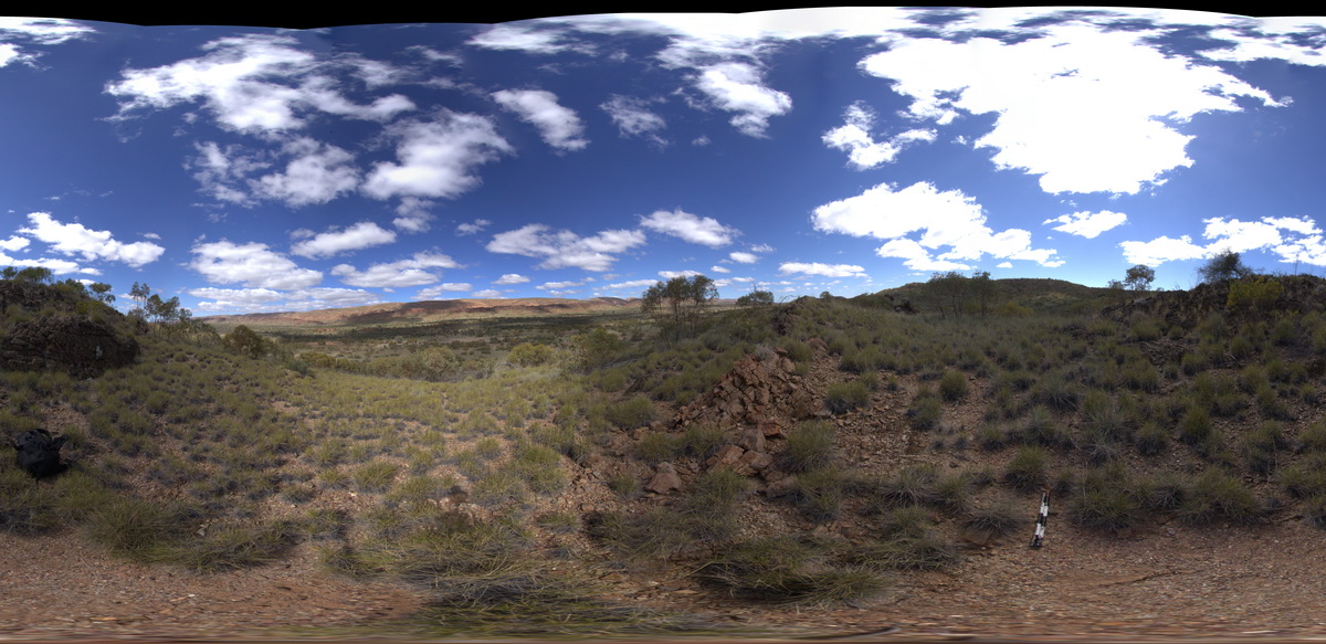
panorama view along road between Redbank Gorge and Ormiston Gorge. Line of steeply dipping strata on the ridge to the south. West MacDonnell National Park, N.T.
| Capture Date: | Aug. 1, 2016, 12:47 p.m. |
| Latitude: | -23.65119300000 degrees |
| Longitude: | 132.59554500000 degrees |
| Elevation: | 706.566 metres |
| Visualisation Type: | FSP |
| Location Accuracy: | 5 metres |
Keywords:
- dip
- strata
- structure
| siltstone | |
|---|---|
| Form Type: | bedded |
| Description: | Red and green siltstone, shale, feldspathic sandstone. |
| Min Geological Age: | Ediacaran |
| Max Geological Age: | Cryogenian |
| Min Numerical Age: | 541.000 |
| Max Numerical Age: | 730.000 |
| Strat No: | 15094 |
| Supergroup: | |
| Group: | |
| Subgroup: | |
| Formation: | Pertatataka Formation |
| Member: | |
| Province: | Amadeus Basin |