BH2011n4
Site:
BH2011n4
Downloads:
Map
3D Model:
Description:
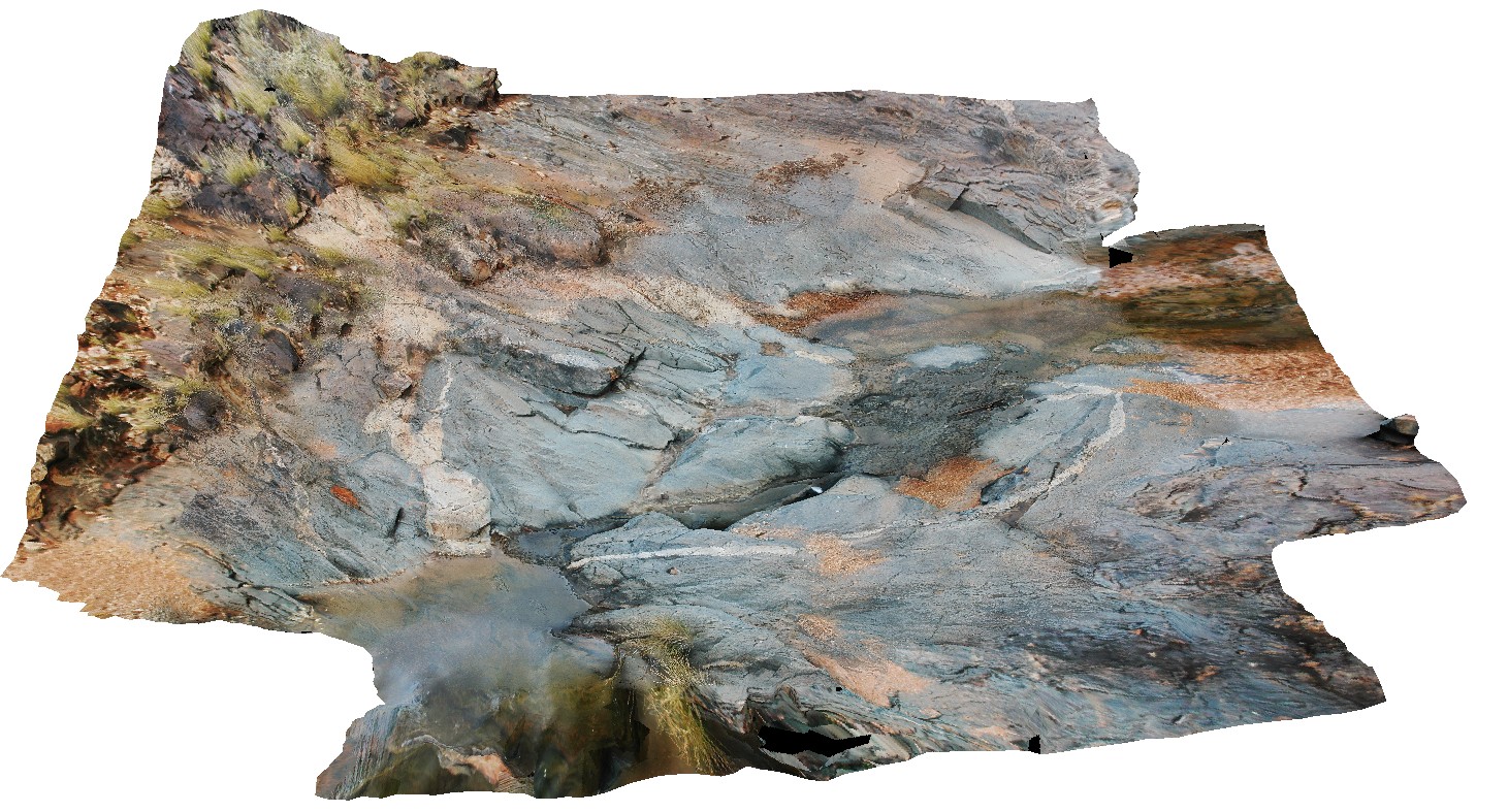
shallow basin folding in metasediments. Broken Hill, N.S.W.
| Capture Date: | April 17, 2015, 11:37 a.m. |
| Latitude: | -31.63580894000 degrees |
| Longitude: | 141.53475285000 degrees |
| Elevation: | NA |
| Visualisation Type: | 3D |
| Location Accuracy: | 20 metres |
Keywords:
- basin folding
- fold
- structure
| metasediments | |
|---|---|
| Form Type: | bedded |
| Description: | fine-grained metasediments |
| Min Geological Age: | Statherian |
| Max Geological Age: | Statherian |
| Min Numerical Age: | 1693.000 |
| Max Numerical Age: | 1696.000 |
| Strat No: | 26096 |
| Supergroup: | Willyama Supergroup |
| Group: | |
| Subgroup: | |
| Formation: | Parnell Formation |
| Member: | |
| Province: |