BHill125
Site:
BHill125
Downloads:
Map
3D Model:
Description:
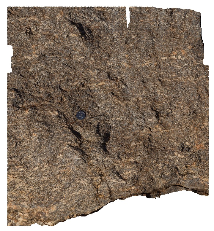
layer of intensely folded banded gneiss with cm scale small folds. Broken Hill. N.S.W.
| Capture Date: | Sept. 20, 2015, 8:22 a.m. |
| Latitude: | -32.00620000000 degrees |
| Longitude: | 141.29008000000 degrees |
| Elevation: | NA |
| Visualisation Type: | 3D |
| Location Accuracy: | 5 metres |
Keywords:
- fold
- structure
- gneiss
| gneiss | |
|---|---|
| Form Type: | banded |
| Description: | medium to coarse-grained feldspar-mica gneiss. |
| Min Geological Age: | Statherian |
| Max Geological Age: | Statherian |
| Min Numerical Age: | 1683.000 |
| Max Numerical Age: | 1683.000 |
| Strat No: | 70120 |
| Supergroup: | |
| Group: | |
| Subgroup: | |
| Formation: | Rasp Ridge Granite Gneiss |
| Member: | |
| Province: |