BlackmansBay2
Site:
BlackmansBay2
Downloads:
Map
3D Model:
Description:
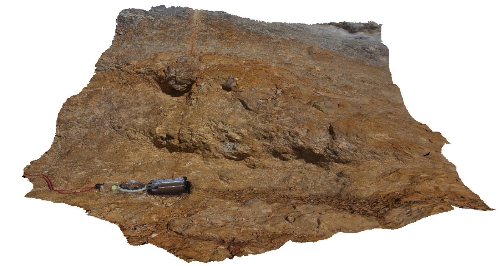
detail of dropstones in sandstone layer of Permian sediments. Blackmans Bay. Tasmania.
| Capture Date: | Feb. 25, 2016, 2:47 p.m. |
| Latitude: | -42.99987000000 degrees |
| Longitude: | 147.32823000000 degrees |
| Elevation: | NA |
| Visualisation Type: | 3D |
| Location Accuracy: | 0 metres |
Keywords:
- dropstone
- sedimentology
| sandstone | |
|---|---|
| Form Type: | bedded |
| Description: | bedded Permian sandstone with dropstone layer. |
| Min Geological Age: | Triassic |
| Max Geological Age: | Late Carboniferous |
| Min Numerical Age: | 247.200 |
| Max Numerical Age: | 307.000 |
| Strat No: | 14900 |
| Supergroup: | Parmeener Supergroup |
| Group: | |
| Subgroup: | |
| Formation: | |
| Member: | |
| Province: | Melbourne-Mathinna Zone |