Blinman17
Site:
Blinman17
Downloads:
Map
3D Model:
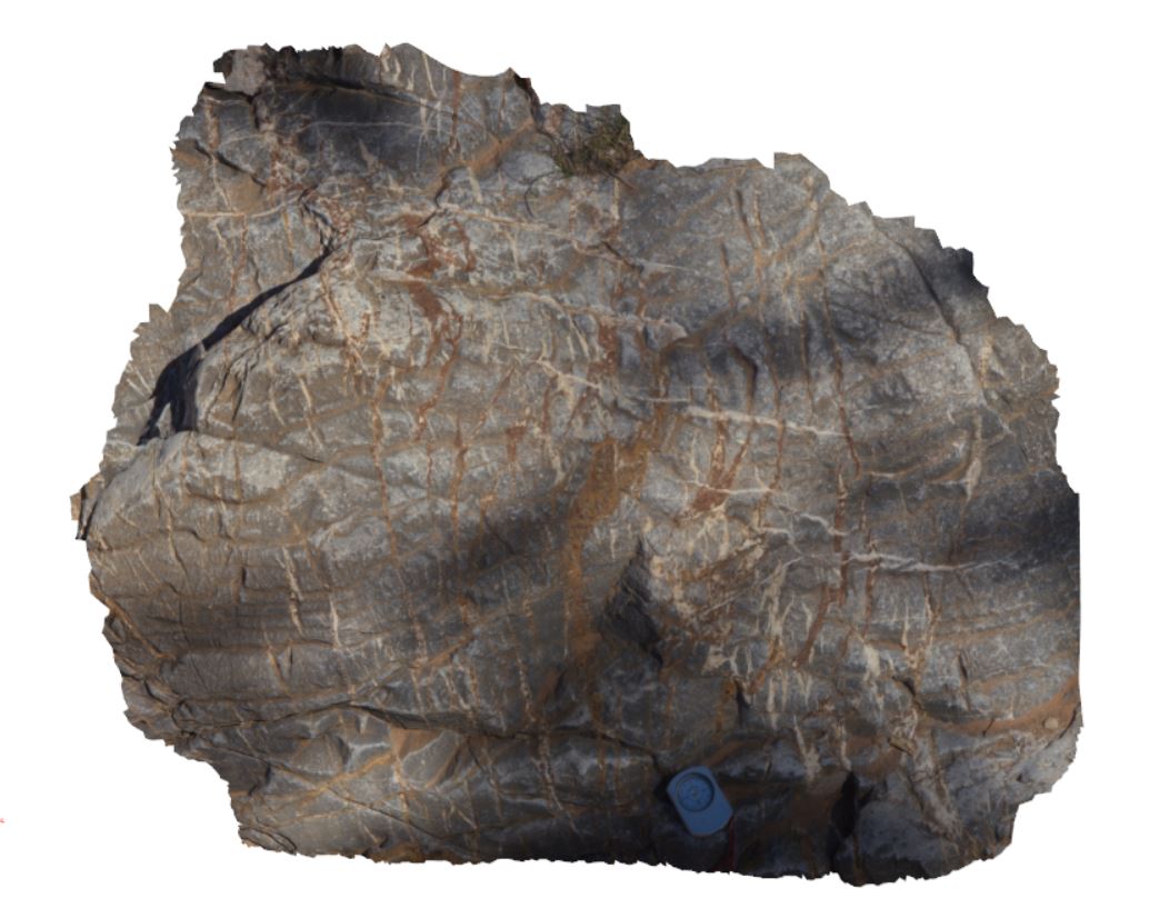
Description:
multiple vein sets cross cutting carbonate. Blinman pools walking trail. Blinman, S.A.
| Capture Date: | Nov. 16, 2015, 10:21 a.m. |
| Latitude: | -31.12693000000 degrees |
| Longitude: | 138.57991000000 degrees |
| Elevation: | NA |
| Visualisation Type: | 3D |
| Location Accuracy: | 0 metres |
Keywords:
- veining
| carbonate | |
|---|---|
| Form Type: | bedded |
| Description: | Cycles of thick, grey, oolitic and stromatolitic limestone with intervening grey-green siltstone. |
| Min Geological Age: | Cryogenian |
| Max Geological Age: | Cryogenian |
| Min Numerical Age: | 720.000 |
| Max Numerical Age: | 1000.000 |
| Strat No: | 6307 |
| Supergroup: | Heysen Supergroup |
| Group: | |
| Subgroup: | |
| Formation: | Etina Formation |
| Member: | |
| Province: |