Blinman6
Site:
Blinman6
Downloads:
Map
3D Model:
Description:
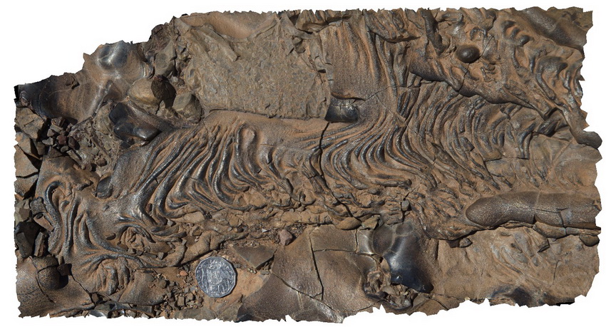
Detail of ropy, flow textures in slag. Blinman Mine. Blinman, S.A.
| Capture Date: | Nov. 12, 2015, 10:13 a.m. |
| Latitude: | -31.08684000000 degrees |
| Longitude: | 138.67450000000 degrees |
| Elevation: | NA |
| Visualisation Type: | 3D |
| Location Accuracy: | 0 metres |
Keywords:
- slag
- ropy flow banking
| Slag | |
|---|---|
| Form Type: | |
| Description: | ropy flow structures in lava-like quench textures of slag from Blinman mine. |
| Min Geological Age: | |
| Max Geological Age: | |
| Min Numerical Age: | 0.000 |
| Max Numerical Age: | 0.000 |
| Strat No: | 0 |
| Supergroup: | |
| Group: | |
| Subgroup: | |
| Formation: | |
| Member: | |
| Province: |