BowRiver2
Site:
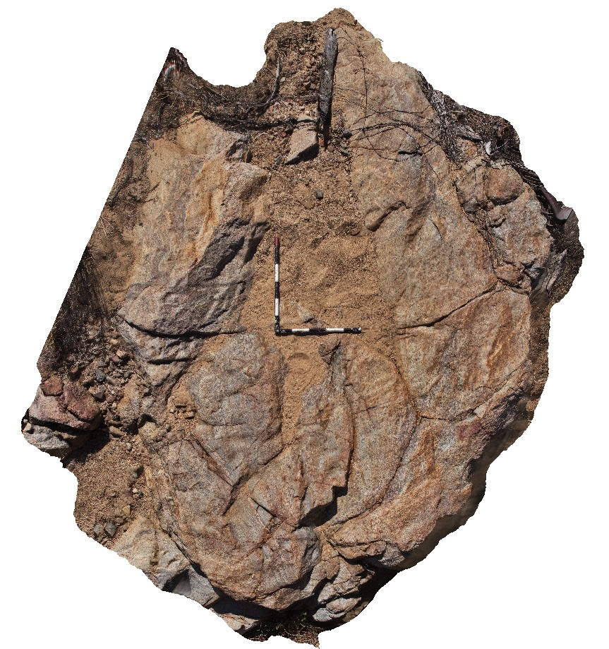
BowRiver2
Downloads:
Map
3D Model:
Description:
outcrop of cordierite and muscovite / biotite migmatite. Near junction of Bow and Wilson rivers. Great Northern Highway, W.A.
| Capture Date: | June 11, 2016, noon |
| Latitude: | -16.79276000000 degrees |
| Longitude: | 128.28146000000 degrees |
| Elevation: | NA |
| Visualisation Type: | 3D |
| Location Accuracy: | 5 metres |
Keywords:
- cordierite
- migmatite
- structure
| migmatite | |
|---|---|
| Form Type: | |
| Description: | muscovite / biotite migmatite with leucosomes wrapping cordierite porphyroblasts. |
| Min Geological Age: | Orosirian |
| Max Geological Age: | Orosirian |
| Min Numerical Age: | 1865.000 |
| Max Numerical Age: | 1871.000 |
| Strat No: | 23763 |
| Supergroup: | |
| Group: | Hooper Complex |
| Subgroup: | |
| Formation: | Marboo Formation |
| Member: | |
| Province: | Hooper Province, Lamboo Province |