Broome5
Site:
Broome5
Downloads:
Map
3D Model:
Description:
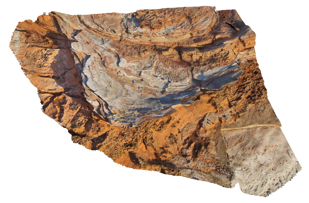
large channel of grey sandstone exposed in three dimensions with ripple marks on bedding surface. Broome, W.A.
| Capture Date: | June 3, 2016, noon |
| Latitude: | -18.00866000000 degrees |
| Longitude: | 122.20945000000 degrees |
| Elevation: | NA |
| Visualisation Type: | 3D |
| Location Accuracy: | 0 metres |
Keywords:
- channel deposit
- sandstone
- ripple marks
- sedimentology
| sandstone | |
|---|---|
| Form Type: | bedded |
| Description: | Fine- to very coarse-grained sandstone with ripple marks |
| Min Geological Age: | Early Cretaceous |
| Max Geological Age: | Early Cretaceous |
| Min Numerical Age: | 100.500 |
| Max Numerical Age: | 145.000 |
| Strat No: | 2645 |
| Supergroup: | |
| Group: | |
| Subgroup: | |
| Formation: | Broome Sandstone |
| Member: | |
| Province: | Bedout Sub-basin |