Camfield1
Site:
Camfield1
Downloads:
Map
3D Model:
Description:
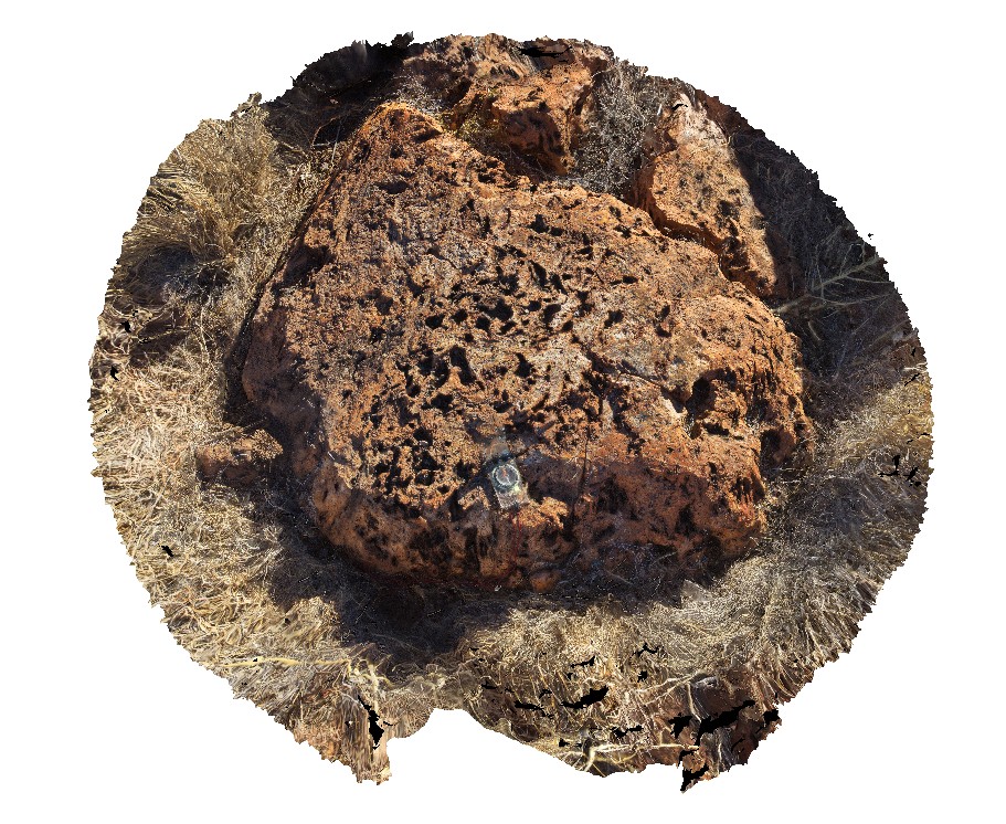
flow banded volcanics with stretched vesicles. Camfield, Buntine Highway, N.T.
| Capture Date: | June 21, 2016, noon |
| Latitude: | -17.10740000000 degrees |
| Longitude: | 131.25758000000 degrees |
| Elevation: | NA |
| Visualisation Type: | 3D |
| Location Accuracy: | 0 metres |
Keywords:
- vesicles
- volcanics
- flow banded
| volcanics | |
|---|---|
| Form Type: | flow |
| Description: | Massive and amygdaloidal tholeiitic basalt |
| Min Geological Age: | Middle Cambrian |
| Max Geological Age: | Early Cambrian |
| Min Numerical Age: | 505.000 |
| Max Numerical Age: | 513.000 |
| Strat No: | 488 |
| Supergroup: | |
| Group: | |
| Subgroup: | |
| Formation: | Antrim Plateau Volcanics |
| Member: | |
| Province: | Bonaparte Basin, Halls Creek Orogen, Kalkarindji Igneous Province, Petrel Sub-basin, Wiso Basin |