CapeAridUAV2
Site:
CapeAridUAV2
Downloads:
Map
3D Model:
Description:
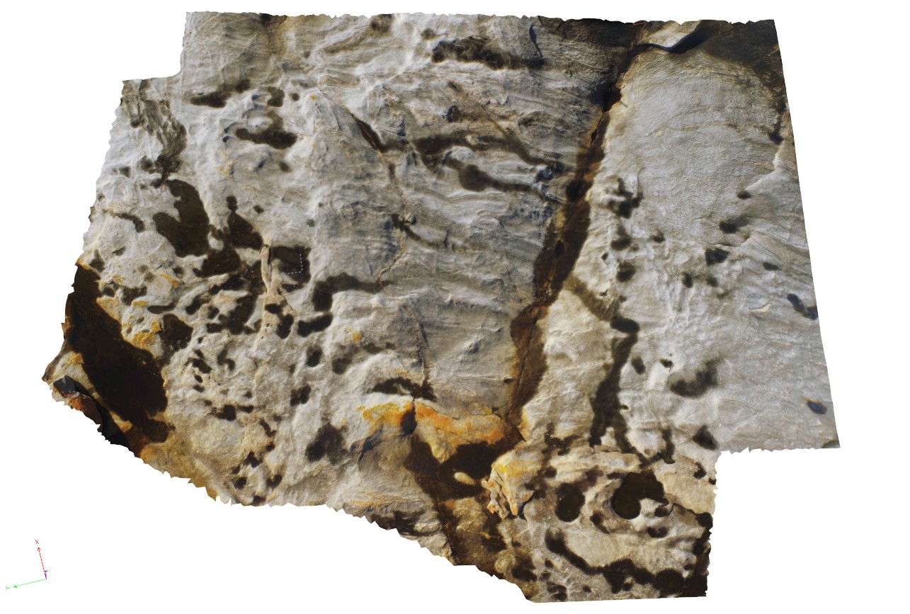
aerial view of folded pegmatite and gneissic layers. Cape Arid, W.A.
| Capture Date: | Undated |
| Latitude: | -33.90626600000 degrees |
| Longitude: | 123.35366500000 degrees |
| Elevation: | 5.800 metres |
| Visualisation Type: | UAV |
| Location Accuracy: | 20 metres |
Keywords:
- pegmatite
- gneiss
| gneiss | |
|---|---|
| Form Type: | |
| Description: | garnet-biotite-quartz-feldspar gneiss containing feldspar augen. |
| Min Geological Age: | |
| Max Geological Age: | |
| Min Numerical Age: | 0.000 |
| Max Numerical Age: | 0.000 |
| Strat No: | 0 |
| Supergroup: | |
| Group: | |
| Subgroup: | |
| Formation: | |
| Member: | |
| Province: |
| pegmatite | |
|---|---|
| Form Type: | vein |
| Description: | age and stratigraphic relationship unknown. |
| Min Geological Age: | |
| Max Geological Age: | |
| Min Numerical Age: | 0.000 |
| Max Numerical Age: | 0.000 |
| Strat No: | 0 |
| Supergroup: | |
| Group: | |
| Subgroup: | |
| Formation: | |
| Member: | |
| Province: |