CapeLeGrandeFSP1
Site:
CapeLeGrandeFSP1
Downloads:
Map
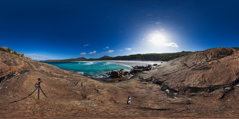
Description:
shoreline exposure, showing disaggregated mafic dykes in gneiss and surrounding coast. Cape Le Grande, south coast W.A.
| Capture Date: | June 5, 2016, 10:42 a.m. |
| Latitude: | -34.00378000000 degrees |
| Longitude: | 122.16893000000 degrees |
| Elevation: | NA |
| Visualisation Type: | FSP |
| Location Accuracy: | 0 metres |
Keywords:
- disaggregated
- structure
| gneiss | |
|---|---|
| Form Type: | |
| Description: | alternating bands and mixed rock composed of lath granite and gneiss in varying proportions. |
| Min Geological Age: | |
| Max Geological Age: | |
| Min Numerical Age: | 0.000 |
| Max Numerical Age: | 0.000 |
| Strat No: | 0 |
| Supergroup: | |
| Group: | |
| Subgroup: | |
| Formation: | |
| Member: | |
| Province: |
| mafic | |
|---|---|
| Form Type: | dyke |
| Description: | mafic dyke |
| Min Geological Age: | |
| Max Geological Age: | |
| Min Numerical Age: | 0.000 |
| Max Numerical Age: | 0.000 |
| Strat No: | 0 |
| Supergroup: | |
| Group: | |
| Subgroup: | |
| Formation: | |
| Member: | |
| Province: |