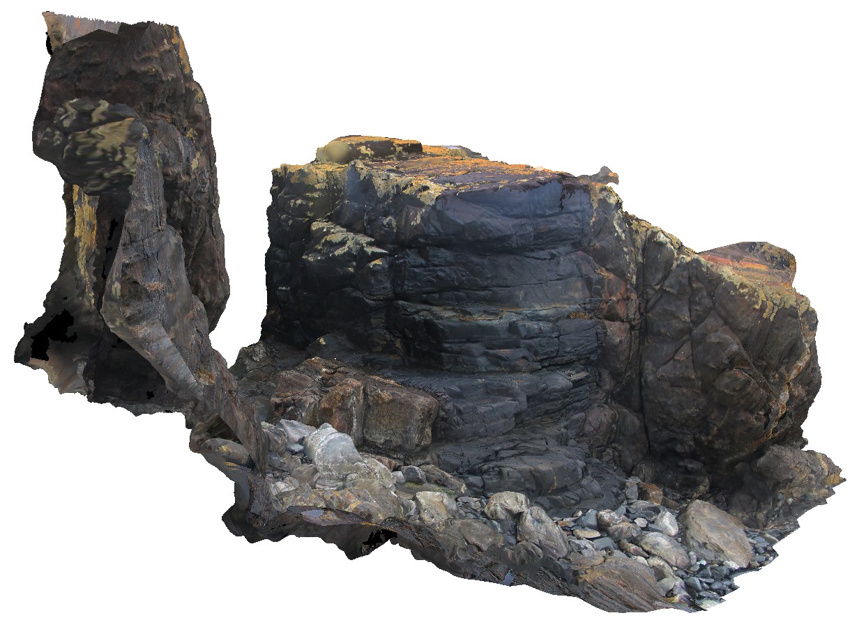
CapeWickham6
Site:
CapeWickham6
Downloads:
Map
3D Model:
Description:
intrusive contact between sub vertically dipping metasediments of the Surprise Bay Formation and a dolerite dyke. Cape Wickham, King Island. Tasmania.
| Capture Date: | April 28, 2016, 9:10 a.m. |
| Latitude: | -39.59209477000 degrees |
| Longitude: | 143.92795761000 degrees |
| Elevation: | 5.000 metres |
| Visualisation Type: | 3D |
| Location Accuracy: | 5 metres |
Keywords:
- dip
- intrusive contact
- contact
- structure