CarnotFSP2
Site:
CarnotFSP2
Downloads:
Map
Description:
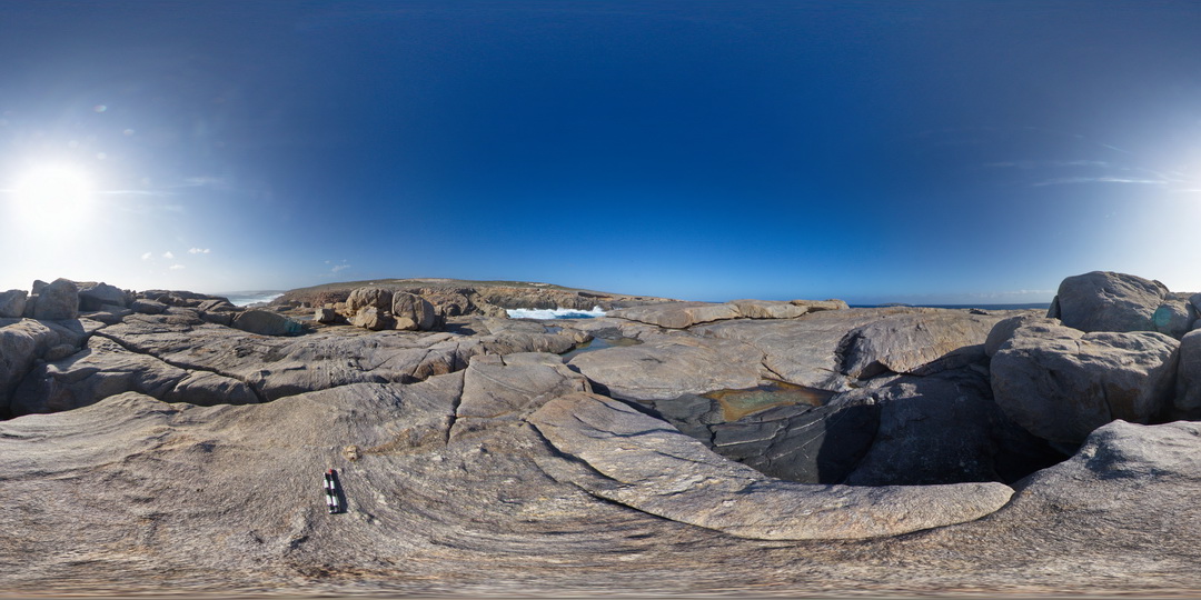
shoreline exposure, showing gneiss, disrupted mafic dyke and deformed pegmatite dyke. Ages of intruding mafic dyke and pegmatites are unknown. Cape Carnot. S.A.
| Capture Date: | Oct. 28, 2015, 12:23 p.m. |
| Latitude: | -34.94363000000 degrees |
| Longitude: | 135.62029000000 degrees |
| Elevation: | NA |
| Visualisation Type: | FSP |
| Location Accuracy: | 0 metres |
Keywords:
- pegmatite
- mafic dyke
- gneiss
- structure
| gneiss | |
|---|---|
| Form Type: | |
| Description: | medium-grained granitic? Gneiss with deformed mafic dyke and pegmatite dyke. |
| Min Geological Age: | Siderian |
| Max Geological Age: | Neoarchean |
| Min Numerical Age: | 2300.000 |
| Max Numerical Age: | 2450.000 |
| Strat No: | 28206 |
| Supergroup: | Sleaford Complex |
| Group: | |
| Subgroup: | |
| Formation: | Carnot Gneiss |
| Member: | |
| Province: |