Copley2
Site:
Copley2
Downloads:
Map
3D Model:
Description:
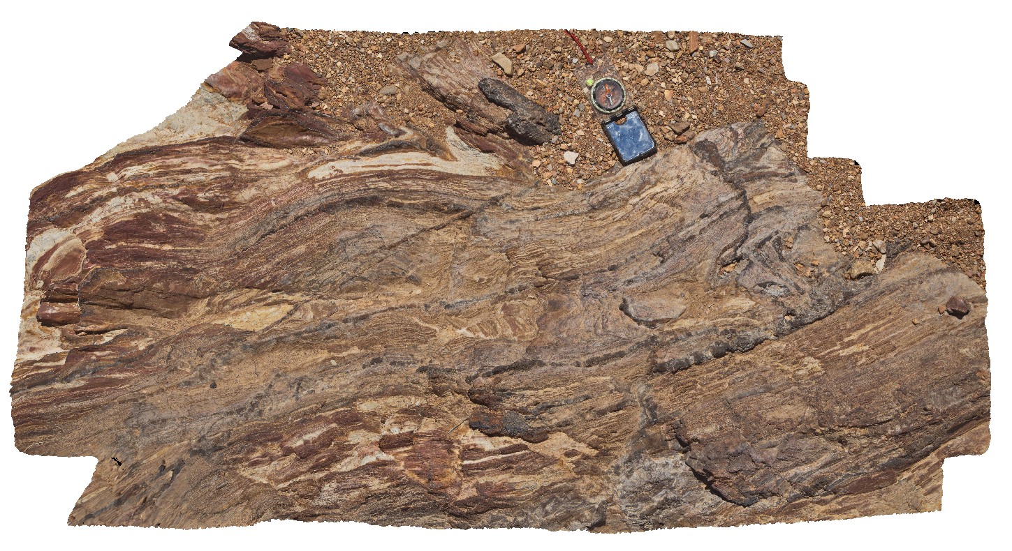
detailed view of fold and fault zone in thinly bedded sandstone and siltstone in Adelaidean metasediments. Copley, S.A.
| Capture Date: | Undated |
| Latitude: | -30.52472000000 degrees |
| Longitude: | 138.53644000000 degrees |
| Elevation: | 309.000 metres |
| Visualisation Type: | 3D |
| Location Accuracy: | 5 metres |
Keywords:
- Adelaidean
- fault
- fold
- structure
- metasediments
| metasediments | |
|---|---|
| Form Type: | bedded |
| Description: | thinly layered, fine-grained sandstone and siltstone with hematite veins |
| Min Geological Age: | Cryogenian |
| Max Geological Age: | Cryogenian |
| Min Numerical Age: | 643.000 |
| Max Numerical Age: | 750.000 |
| Strat No: | 17814 |
| Supergroup: | Heysen Supergroup |
| Group: | |
| Subgroup: | |
| Formation: | Tapley Hill Formation |
| Member: | |
| Province: | Stuart Shelf |