CrescentUAV2
Site:
CrescentUAV2
Downloads:
Map
3D Model:
Description:
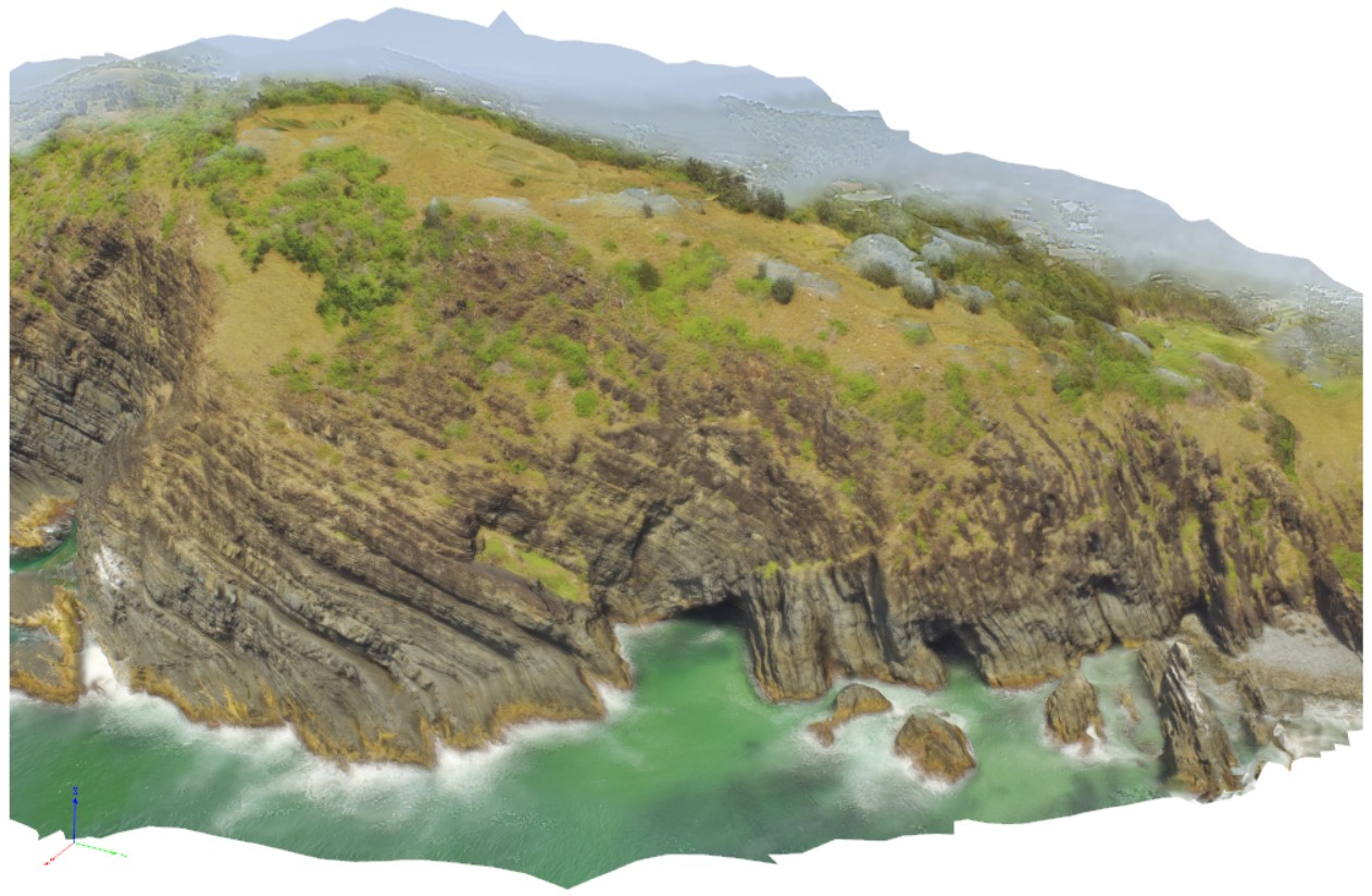
aerial view of moderately to gently dipping and openly folded strata of the Crescent Head area. Crescent Head. N.S.W.
| Capture Date: | April 12, 2016, 10:45 a.m. |
| Latitude: | -31.18692000000 degrees |
| Longitude: | 152.98367000000 degrees |
| Elevation: | NA |
| Visualisation Type: | UAV |
| Location Accuracy: | 0 metres |
Keywords:
- fold
- strata
| sediments | |
|---|---|
| Form Type: | bedded |
| Description: | Massive sandstone, laminated sandstone, siltstone, and conglomerate |
| Min Geological Age: | Permian |
| Max Geological Age: | Permian |
| Min Numerical Age: | 252.170 |
| Max Numerical Age: | 298.900 |
| Strat No: | 69439 |
| Supergroup: | |
| Group: | |
| Subgroup: | |
| Formation: | Crescent Head Formation |
| Member: | |
| Province: |