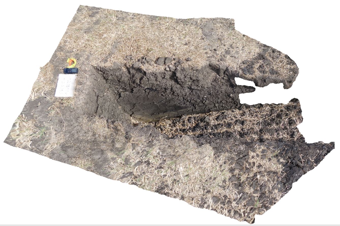
DaisyBanksPit4
Site:
DaisyBanksPit4
Downloads:
Map
3D Model:
Description:
~80cm deep pit into soil and clays overlying Quaternary alluvial and marsh deposits of modern flood plains; of gravel, sand, silt and clay. Richmond, Tas.
| Capture Date: | March 17, 2015, 1:45 p.m. |
| Latitude: | -42.73176200000 degrees |
| Longitude: | 147.42817100000 degrees |
| Elevation: | NA |
| Visualisation Type: | 3D |
| Location Accuracy: | 20 metres |
Keywords:
- Clay
- alluvium
- regolith
| Clay | |
|---|---|
| Form Type: | |
| Description: | Undifferentiated alluvial dark grey soil overlying massive dark grey-brown clay |
| Min Geological Age: | Holocene |
| Max Geological Age: | Holocene |
| Min Numerical Age: | 0.000 |
| Max Numerical Age: | 0.012 |
| Strat No: | 0 |
| Supergroup: | |
| Group: | |
| Subgroup: | |
| Formation: | |
| Member: | |
| Province: |