DaisyBanksPit5
Site:
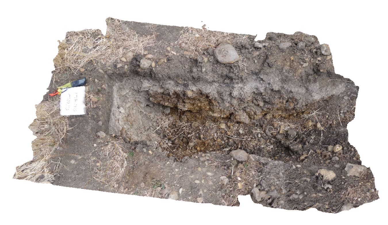
DaisyBanksPit5
Downloads:
Map
3D Model:
Description:
~80cm wide pit into recent sediments overlying Quaternary alluvial and marsh deposits of modern flood plains; of gravel, sand, silt and clay. Richmond, Tas.
| Capture Date: | March 17, 2015, 1:50 p.m. |
| Latitude: | -42.73253700000 degrees |
| Longitude: | 147.42790800000 degrees |
| Elevation: | NA |
| Visualisation Type: | 3D |
| Location Accuracy: | 20 metres |
Keywords:
- palaeochannel
- alluvial
- regolith
| Gravel | |
|---|---|
| Form Type: | |
| Description: | Undifferentiated alluvial grey-brown gravel containing sub rounded pebbles up to 10cm |
| Min Geological Age: | Holocene |
| Max Geological Age: | Holocene |
| Min Numerical Age: | 0.000 |
| Max Numerical Age: | 0.012 |
| Strat No: | 0 |
| Supergroup: | |
| Group: | |
| Subgroup: | |
| Formation: | |
| Member: | |
| Province: |