DixonRangeFSP5
Site:
DixonRangeFSP5
Downloads:
Map
Description:
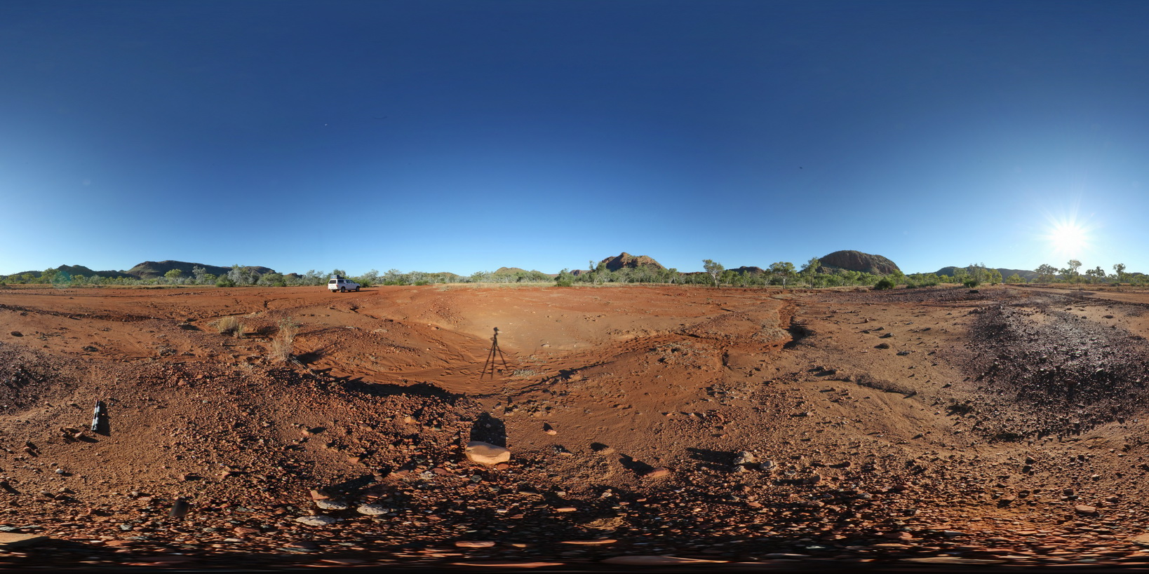
360 degree view of surrounding metasediment hills of the Red Rock Formation. Road to Dixon Range, north W.A.
| Capture Date: | June 14, 2016, noon |
| Latitude: | -17.21930000000 degrees |
| Longitude: | 128.24271000000 degrees |
| Elevation: | NA |
| Visualisation Type: | FSP |
| Location Accuracy: | 0 metres |
Keywords:
- metasediment
- fault terrane
- metamorphic
- fault
- structure
| metasediment | |
|---|---|
| Form Type: | bedded |
| Description: | Fine- to coarse-grained lithic quartz sandstone, feldspathic quartz sandstone, pebbly sandstone, conglomerate, siltstone, mudstone, basalt and basaltic breccia; carbonate rock |
| Min Geological Age: | Statherian |
| Max Geological Age: | Orosirian |
| Min Numerical Age: | 1600.000 |
| Max Numerical Age: | 1800.000 |
| Strat No: | 31894 |
| Supergroup: | |
| Group: | |
| Subgroup: | |
| Formation: | Red Rock Formation |
| Member: | |
| Province: |