EPilbara29
Site:
EPilbara29
Downloads:
Map
3D Model:
Description:
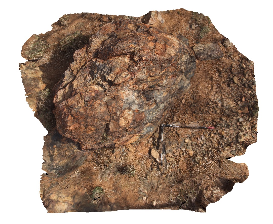
view of conglomerate - cobble boulder interpreted as phreatomagmatic and related to adjacent Black Range dolerite Dyke. Woodstock - Rocky Island Road, East Pilbara, W.A.
| Capture Date: | June 1, 2016, noon |
| Latitude: | -21.43792000000 degrees |
| Longitude: | 119.54186000000 degrees |
| Elevation: | NA |
| Visualisation Type: | 3D |
| Location Accuracy: | 0 metres |
Keywords:
- conglomerate
- polymict
| conglomerate | |
|---|---|
| Form Type: | brecciated |
| Description: | possibly phreatomagmatic and related to adjacent Black Range dolerite Dyke. Age unknown |
| Min Geological Age: | |
| Max Geological Age: | |
| Min Numerical Age: | 0.000 |
| Max Numerical Age: | 0.000 |
| Strat No: | 0 |
| Supergroup: | |
| Group: | |
| Subgroup: | |
| Formation: | |
| Member: | |
| Province: |