EPilbaraFSP9
Site:
EPilbaraFSP9
Downloads:
Map
Description:
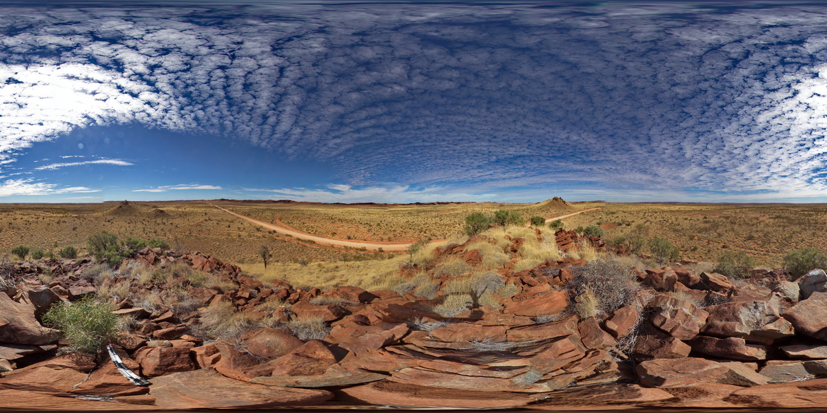
view from small gabbroic? Knoll looking to N and W. Also showing large black dolerite? Dyke 'wall' to the SE. Woodstock - Rocky Island Road, East Pilbara, W.A.
| Capture Date: | June 1, 2016, noon |
| Latitude: | -21.53850000000 degrees |
| Longitude: | 119.33490000000 degrees |
| Elevation: | NA |
| Visualisation Type: | FSP |
| Location Accuracy: | 0 metres |
Keywords:
- mafic dyke
- structural weakness
| dolerite | |
|---|---|
| Form Type: | dyke |
| Description: | Dolerite and medium- to coarse-grained gabbro dykes; weakly metamorphosed. |
| Min Geological Age: | Neoarchean |
| Max Geological Age: | Neoarchean |
| Min Numerical Age: | 2772.000 |
| Max Numerical Age: | 2772.000 |
| Strat No: | 36884 |
| Supergroup: | Mount Bruce Supergroup |
| Group: | Black Range Dolerite Suite |
| Subgroup: | |
| Formation: | |
| Member: | |
| Province: | Fortescue Basin |