EaglehawkFSP6
Site:
EaglehawkFSP6
Downloads:
Map
Description:
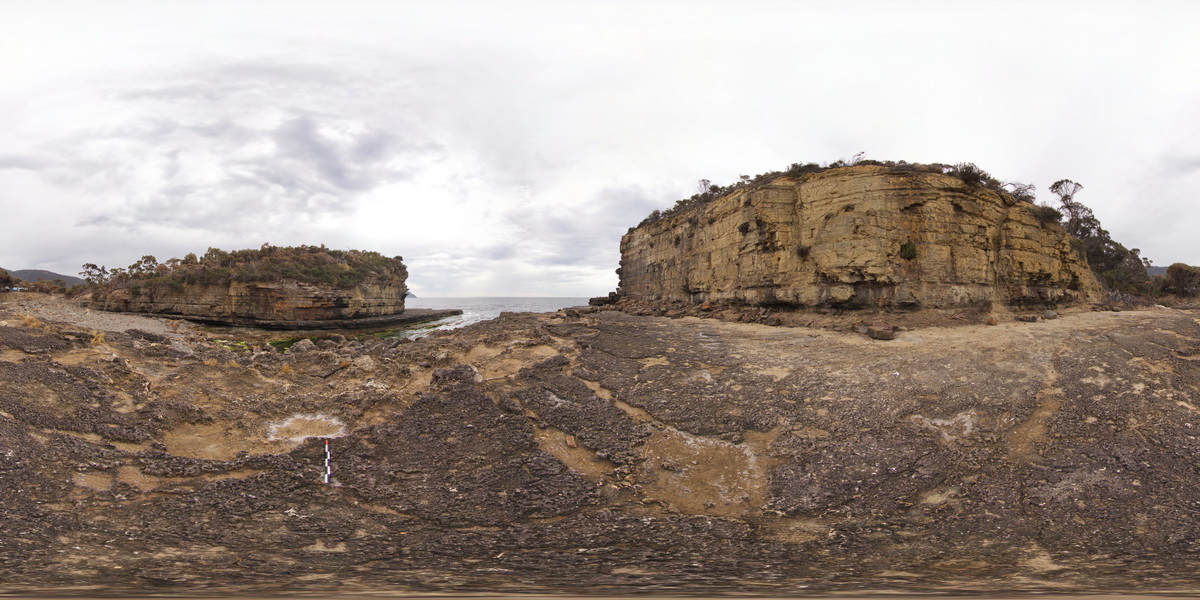
view from sea level platform of Permian pavement and layered buttress (Fossil Island). Eaglehawk Neck, Tasmania.
| Capture Date: | Undated |
| Latitude: | -43.03429000000 degrees |
| Longitude: | 147.94890000000 degrees |
| Elevation: | NA |
| Visualisation Type: | FSP |
| Location Accuracy: | 5 metres |
Keywords:
- Permian sedimentary rocks
- sedimentology
| siltstone | |
|---|---|
| Form Type: | bedded |
| Description: | bedded Permian siltstones |
| Min Geological Age: | Late Triassic |
| Max Geological Age: | Late Carboniferous |
| Min Numerical Age: | 201.300 |
| Max Numerical Age: | 323.200 |
| Strat No: | 14900 |
| Supergroup: | Parmeener Supergroup |
| Group: | |
| Subgroup: | |
| Formation: | |
| Member: | |
| Province: | Melbourne-Mathinna Zone |