Erong1
Site:
Erong1
Downloads:
Map
3D Model:
Description:
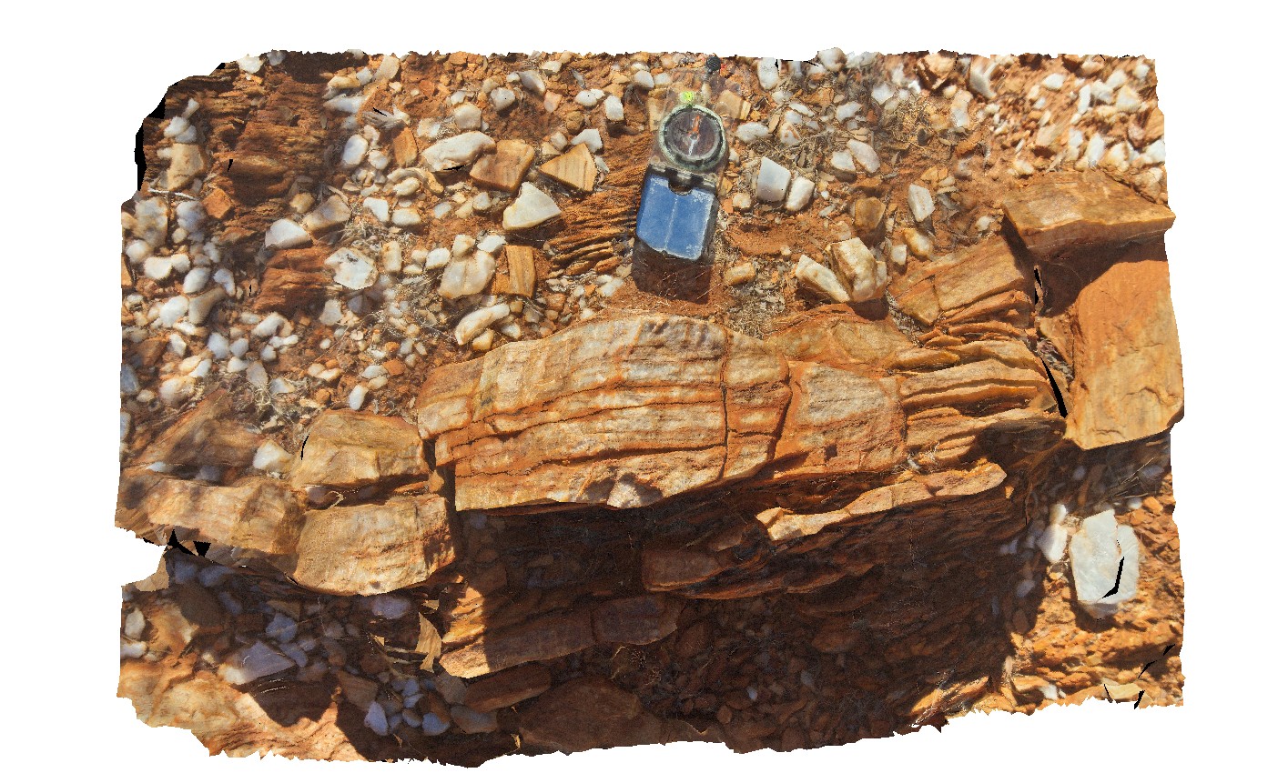
quartz mylonite with steeply east plunging lineations. Erong, East Murchison. W.A.
| Capture Date: | May 26, 2016, noon |
| Latitude: | -26.50613000000 degrees |
| Longitude: | 116.74168000000 degrees |
| Elevation: | NA |
| Visualisation Type: | 3D |
| Location Accuracy: | 0 metres |
Keywords:
- mylonite
- lineation
- structure
| mylonite | |
|---|---|
| Form Type: | |
| Description: | Medium- to coarse-grained muscovite-biotite-garnet monzogranite, granite and pegmatite altered to mylonite |
| Min Geological Age: | Paleoproterozoic |
| Max Geological Age: | Paleoproterozoic |
| Min Numerical Age: | 1600.000 |
| Max Numerical Age: | 1800.000 |
| Strat No: | 33441 |
| Supergroup: | |
| Group: | |
| Subgroup: | |
| Formation: | Erong Granite |
| Member: | |
| Province: |