GairdinerFSP1
Site:
GairdinerFSP1
Downloads:
Map
Description:
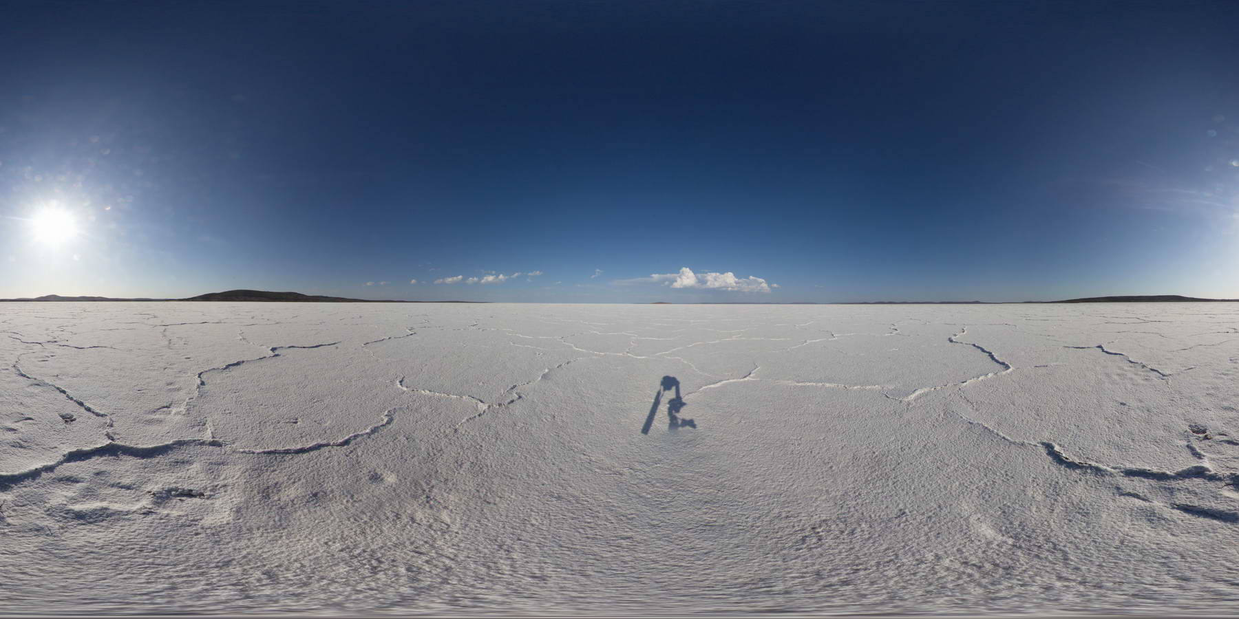
view across Lake Gairdiner, showing salt pan and surrounding hills.
| Capture Date: | Jan. 26, 2016, 3:54 p.m. |
| Latitude: | -32.12901000000 degrees |
| Longitude: | 135.90388000000 degrees |
| Elevation: | NA |
| Visualisation Type: | FSP |
| Location Accuracy: | 0 metres |
Keywords:
- salt lake
- evaporite
| evaporite | |
|---|---|
| Form Type: | bedded |
| Description: | saline and gypsiferous playa lake deposits. |
| Min Geological Age: | Holocene |
| Max Geological Age: | Pleistocene |
| Min Numerical Age: | 0.000 |
| Max Numerical Age: | 2.580 |
| Strat No: | 0 |
| Supergroup: | |
| Group: | |
| Subgroup: | |
| Formation: | |
| Member: | |
| Province: |