GawlerUAV2
Site:
GawlerUAV2
Downloads:
Map
3D Model:
Description:
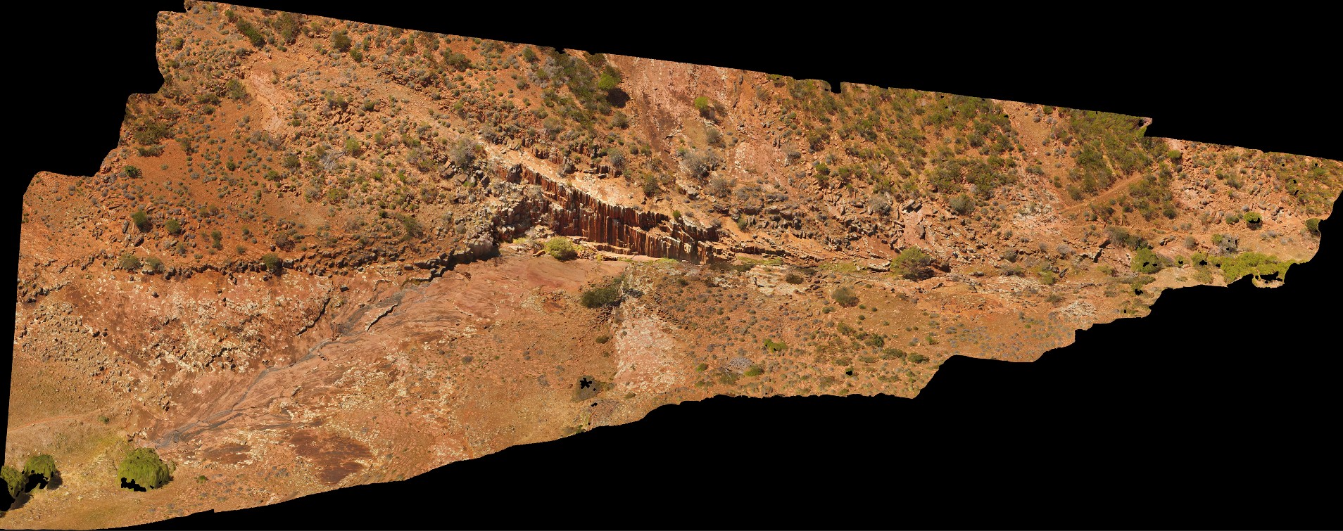
aerial view of Kolar Falls, showing columnar dacite. Mount Fairview, Gawler Ranges.
| Capture Date: | Oct. 20, 2015, 4:08 p.m. |
| Latitude: | -32.56346300000 degrees |
| Longitude: | 135.57600000000 degrees |
| Elevation: | NA |
| Visualisation Type: | UAV |
| Location Accuracy: | 0 metres |
Keywords:
- columnar
- joint
- dacite
| dacite | |
|---|---|
| Form Type: | sill |
| Description: | Dacite, porphyritic, phenocrysts of plagioclase, hornblende; rhyodacite in places. |
| Min Geological Age: | Calymmian |
| Max Geological Age: | Calymmian |
| Min Numerical Age: | 1529.000 |
| Max Numerical Age: | 1592.000 |
| Strat No: | 20845 |
| Supergroup: | |
| Group: | Gawler Range Volcanics |
| Subgroup: | |
| Formation: | Yardea Dacite |
| Member: | |
| Province: |