GibbRiver12
Site:
GibbRiver12
Downloads:
Map
3D Model:
Description:
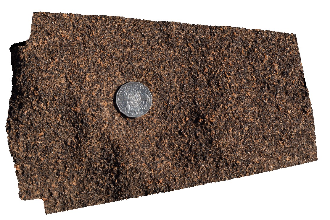
detail of typical weathering surface of medium to fine-grained gabbro. Gibb River Road, near Mount Amy. W.A.
| Capture Date: | June 6, 2016, noon |
| Latitude: | -17.20654000000 degrees |
| Longitude: | 124.91680000000 degrees |
| Elevation: | NA |
| Visualisation Type: | 3D |
| Location Accuracy: | 0 metres |
Keywords:
- gabbro
- weathering surface
| gabbro | |
|---|---|
| Form Type: | sill |
| Description: | medium to fine-grained gabbro. |
| Min Geological Age: | Orosirian |
| Max Geological Age: | Orosirian |
| Min Numerical Age: | 1850.000 |
| Max Numerical Age: | 1865.000 |
| Strat No: | 31788 |
| Supergroup: | Paperbark Supersuite |
| Group: | |
| Subgroup: | |
| Formation: | |
| Member: | |
| Province: | Halls Creek Orogen, Hooper Province, Lamboo Province |