GibbRiver20
Site:
GibbRiver20
Downloads:
Map
3D Model:
Description:
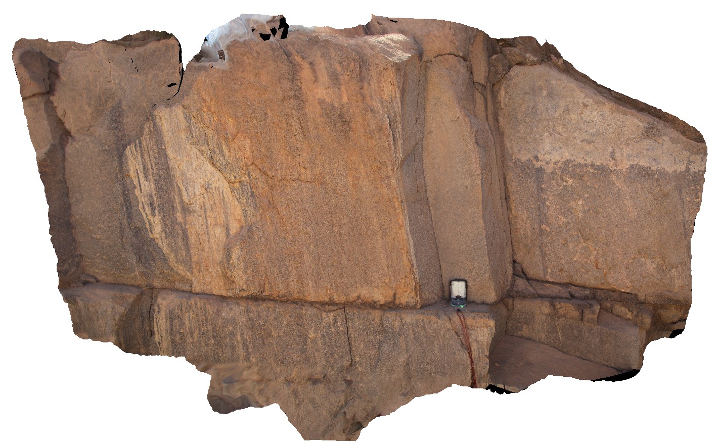
detail of steeply plunging lineations on foliation / fault surface in mylonitised granite. Gibb River Road, W.A.
| Capture Date: | June 6, 2016, noon |
| Latitude: | -17.18072000000 degrees |
| Longitude: | 124.92310000000 degrees |
| Elevation: | NA |
| Visualisation Type: | 3D |
| Location Accuracy: | 0 metres |
Keywords:
- mylonite
- structure
- lineation
- foliation
| mylonite | |
|---|---|
| Form Type: | |
| Description: | medium- to coarse-grained, porphyritic biotite monzogranite |
| Min Geological Age: | Orosirian |
| Max Geological Age: | Orosirian |
| Min Numerical Age: | 1850.000 |
| Max Numerical Age: | 1865.000 |
| Strat No: | 31788 |
| Supergroup: | Paperbark Supersuite |
| Group: | |
| Subgroup: | |
| Formation: | |
| Member: | |
| Province: | Halls Creek Orogen, Hooper Province, Lamboo Province |