GibbRiverFSP5
Site:
GibbRiverFSP5
Downloads:
Map
Description:
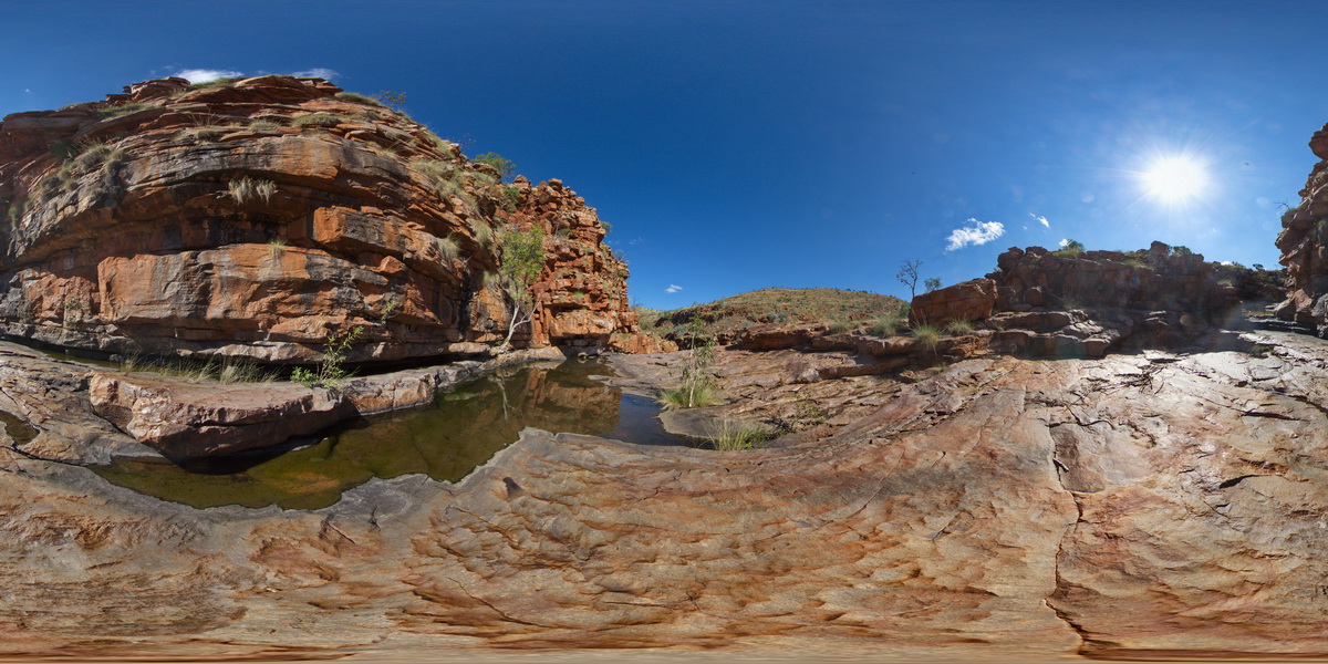
view of sandstone cliffs and ripple marks? In the Lennard Gorge. Lennard Gorge Road, W.A.
| Capture Date: | June 6, 2016, noon |
| Latitude: | -17.17666000000 degrees |
| Longitude: | 125.19965000000 degrees |
| Elevation: | NA |
| Visualisation Type: | FSP |
| Location Accuracy: | 0 metres |
Keywords:
- sandstone
- ripple mark
- sedimentology
- gorge
| sandstone | |
|---|---|
| Form Type: | bedded |
| Description: | Prominently rippled and graded massive poorly sorted coarse to granule quartz sandstone which is locally lithic, ferruginous or glauconitic; olive green to fawn micaceous silty shale, and conglomerate mainly near the base. |
| Min Geological Age: | Orosirian |
| Max Geological Age: | Orosirian |
| Min Numerical Age: | 1834.000 |
| Max Numerical Age: | 1841.000 |
| Strat No: | 14452 |
| Supergroup: | |
| Group: | Speewah Group |
| Subgroup: | |
| Formation: | O'Donnell Formation |
| Member: | |
| Province: | Speewah Basin |