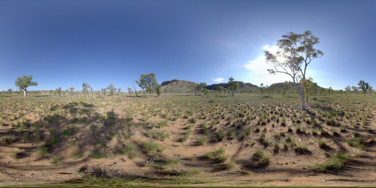
GibbRiverFSP9
Site:
GibbRiverFSP9
Downloads:
Map
Description:
view to Cockburn Range near Emma Gorge. Kimberley. W.A.
| Capture Date: | Undated |
| Latitude: | -14.90996000000 degrees |
| Longitude: | 128.12428000000 degrees |
| Elevation: | NA |
| Visualisation Type: | FSP |
| Location Accuracy: | 0 metres |
Keywords:
- sandstone
- weathering
| sandstone | |
|---|---|
| Form Type: | bedded |
| Description: | Quartz sandstone, pebbly sandstone, siltstone and claystone. An un-named lower unit of quartz sandstone, feldspathic sandstone, and micaceous siltstone, is mapped separately. |
| Min Geological Age: | Statherian |
| Max Geological Age: | Statherian |
| Min Numerical Age: | 1704.000 |
| Max Numerical Age: | 1774.000 |
| Strat No: | 15043 |
| Supergroup: | |
| Group: | Kimberley Group |
| Subgroup: | |
| Formation: | Pentecost Sandstone |
| Member: | |
| Province: | Kimberley Basin |