GoatIslandUAV1
Site:
GoatIslandUAV1
Downloads:
Map
3D Model:
Description:
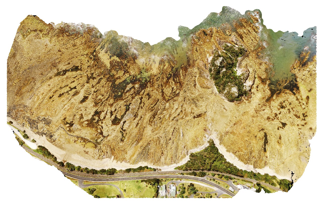
aerial over view of folded metamorphic sediments of the Burnie Formation (Oonah Formation) and Ulverstone Metamorphics, which includes the Goat Island Conglomerate. Goat Island, Ulverstone. North Tasmania.
| Capture Date: | Undated |
| Latitude: | -41.13575600000 degrees |
| Longitude: | 146.13587000000 degrees |
| Elevation: | 55.000 metres |
| Visualisation Type: | UAV |
| Location Accuracy: | 50 metres |
Keywords:
- metasediments
- Burnie Formation
- Ulverstone Metamorphics
- geological contact
| metasediments | |
|---|---|
| Form Type: | bedded |
| Description: | polydeformed sandy turbidite facies |
| Min Geological Age: | Cryogenian |
| Max Geological Age: | Cryogenian |
| Min Numerical Age: | 690.000 |
| Max Numerical Age: | 708.000 |
| Strat No: | 14603 |
| Supergroup: | |
| Group: | |
| Subgroup: | |
| Formation: | Oonah Formation |
| Member: | |
| Province: |
| metasediments | |
|---|---|
| Form Type: | bedded |
| Description: | massive quartzite with conglomerate from the Goat Island Conglomerate |
| Min Geological Age: | Early Cambrian |
| Max Geological Age: | Neoproterozoic |
| Min Numerical Age: | 514.000 |
| Max Numerical Age: | 1000.000 |
| Strat No: | 18803 |
| Supergroup: | |
| Group: | |
| Subgroup: | |
| Formation: | Ulverstone Metamorphics |
| Member: | |
| Province: |