HallPointUAV1
Site:
HallPointUAV1
Downloads:
Map
3D Model:
Description:
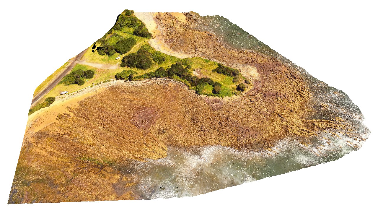
aerial view of folded and deformed Precambrian quartzites of the Rocky Cape Group. Hall Point, Sulphur Creek. Tasmania.
| Capture Date: | Undated |
| Latitude: | -41.09298700000 degrees |
| Longitude: | 146.02833200000 degrees |
| Elevation: | 76.000 metres |
| Visualisation Type: | UAV |
| Location Accuracy: | 20 metres |
Keywords:
- structure
- Precambrian quartzite
- fold
| quartzite | |
|---|---|
| Form Type: | bedded |
| Description: | bedded quartzite |
| Min Geological Age: | Cryogenian |
| Max Geological Age: | Tonian |
| Min Numerical Age: | 750.000 |
| Max Numerical Age: | 1000.000 |
| Strat No: | 27555 |
| Supergroup: | |
| Group: | Rocky Cape Group |
| Subgroup: | |
| Formation: | |
| Member: | |
| Province: |