HamelinUAV5
Site:
HamelinUAV5
Downloads:
Map
3D Model:
Description:
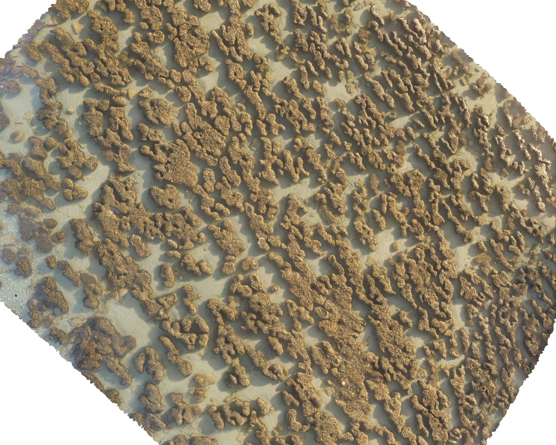
aerial view of submerged stromatolites. Hamelin Pool. Shark Bay, W.A.
| Capture Date: | May 23, 2016, noon |
| Latitude: | -26.40031000000 degrees |
| Longitude: | 114.15875100000 degrees |
| Elevation: | NA |
| Visualisation Type: | UAV |
| Location Accuracy: | 0 metres |
Keywords:
- tidal flat deposits
- stromatolite
| tidal flat deposits | |
|---|---|
| Form Type: | bedded |
| Description: | tidal flat deposits - shelly lime, silt, sand and gravel; extensively bound by algal mats. Abundant stromatolites. |
| Min Geological Age: | Holocene |
| Max Geological Age: | Holocene |
| Min Numerical Age: | 0.000 |
| Max Numerical Age: | 0.012 |
| Strat No: | 0 |
| Supergroup: | |
| Group: | |
| Subgroup: | |
| Formation: | |
| Member: | |
| Province: |