Judbarra14
Site:
Judbarra14
Downloads:
Map
3D Model:
Description:
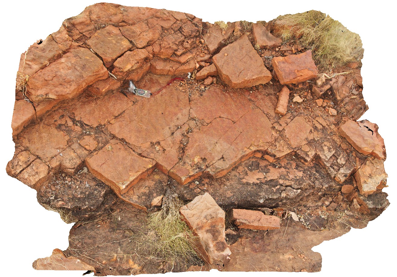
ripple marks in sandstone beds. Wickham River access track. Judbarra / Gregory National Park. N.T.
| Capture Date: | June 18, 2016, noon |
| Latitude: | -16.58166000000 degrees |
| Longitude: | 130.44832000000 degrees |
| Elevation: | NA |
| Visualisation Type: | 3D |
| Location Accuracy: | 0 metres |
Keywords:
- ripple marks
- sandstone
- sedimentology
| sandstone | |
|---|---|
| Form Type: | bedded |
| Description: | Fine to medium grained quartz sandstone |
| Min Geological Age: | |
| Max Geological Age: | |
| Min Numerical Age: | 0.000 |
| Max Numerical Age: | 0.000 |
| Strat No: | 28991 |
| Supergroup: | |
| Group: | Wattie Group |
| Subgroup: | |
| Formation: | Seale Sandstone |
| Member: | |
| Province: | Birrindudu Basin |