JudbarraFSP1
Site:
JudbarraFSP1
Downloads:
Map
Description:
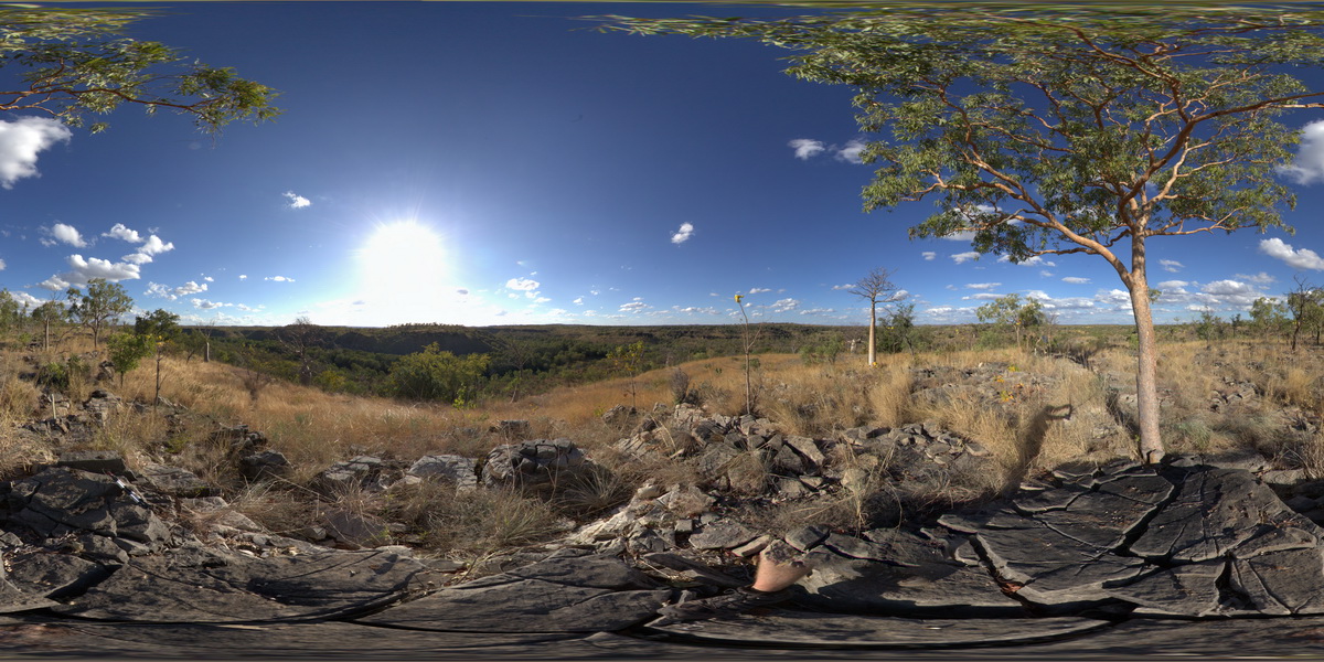
view from hill top of gorges cut through stromatolitic limestone, to West of Bullita / Timber Creek track. Limestone Gorge Campground, near East Baines River. N.T.
| Capture Date: | June 18, 2016, noon |
| Latitude: | -16.04959000000 degrees |
| Longitude: | 130.38254000000 degrees |
| Elevation: | NA |
| Visualisation Type: | FSP |
| Location Accuracy: | 5 metres |
Keywords:
- stromatolite
- limestone
- gorge
- Judbarra
- fossil
- sedimentology
| limestone | |
|---|---|
| Form Type: | bedded |
| Description: | Stromatolitic, poorly bedded, microbial dolostone and dolarenite. Dolomitic sandstone. |
| Min Geological Age: | Mesoproterozoic |
| Max Geological Age: | Mesoproterozoic |
| Min Numerical Age: | 1000.000 |
| Max Numerical Age: | 1600.000 |
| Strat No: | 33808 |
| Supergroup: | |
| Group: | Bullita Group |
| Subgroup: | |
| Formation: | |
| Member: | Supplejack Dolostone Member |
| Province: | Birrindudu Basin |