JudbarraFSP2
Site:
JudbarraFSP2
Downloads:
Map
Description:
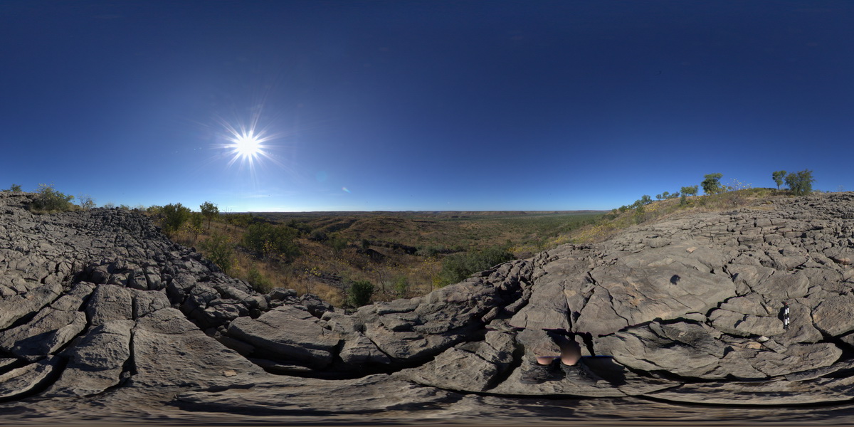
view of valley from hill top of stromatolitic dolostone with rillenkarren weathering. . Humbert / Wickham River access track. Judbarra / Gregory National Park. N.T.
| Capture Date: | June 18, 2016, noon |
| Latitude: | -16.46502000000 degrees |
| Longitude: | 130.51921000000 degrees |
| Elevation: | NA |
| Visualisation Type: | FSP |
| Location Accuracy: | 0 metres |
Keywords:
- stromatolite
- dolostone
- fossil
- sedimentology
- rillenkarren
| dolostone | |
|---|---|
| Form Type: | bedded |
| Description: | stromatolitic dolostone with domed stromatolites. |
| Min Geological Age: | Calymmian |
| Max Geological Age: | Calymmian |
| Min Numerical Age: | 1400.000 |
| Max Numerical Age: | 1600.000 |
| Strat No: | 16978 |
| Supergroup: | |
| Group: | Bullita Group |
| Subgroup: | |
| Formation: | Skull Creek Formation |
| Member: | |
| Province: | Birrindudu Basin |