JudbarraFSP4
Site:
JudbarraFSP4
Downloads:
Map
Description:
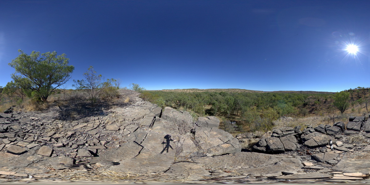
View from hill of shallow dipping dolostone around edges of surrounding valley. Wickham River access track. Judbarra / Gregory National Park. N.T.
| Capture Date: | June 18, 2016, noon |
| Latitude: | -16.67808000000 degrees |
| Longitude: | 130.66286000000 degrees |
| Elevation: | NA |
| Visualisation Type: | FSP |
| Location Accuracy: | 0 metres |
Keywords:
- dolostone
- sedimentology
| dolostone | |
|---|---|
| Form Type: | bedded |
| Description: | Silty and quartz-rich dolostone, dolostone, dolomitic sandstone, dolomitic siltstone, sandstone, minor dolarenite, chert. |
| Min Geological Age: | Calymmian |
| Max Geological Age: | Calymmian |
| Min Numerical Age: | 1400.000 |
| Max Numerical Age: | 1600.000 |
| Strat No: | 16978 |
| Supergroup: | |
| Group: | Bullita Group |
| Subgroup: | |
| Formation: | Skull Creek Formation |
| Member: | |
| Province: | Birrindudu Basin |