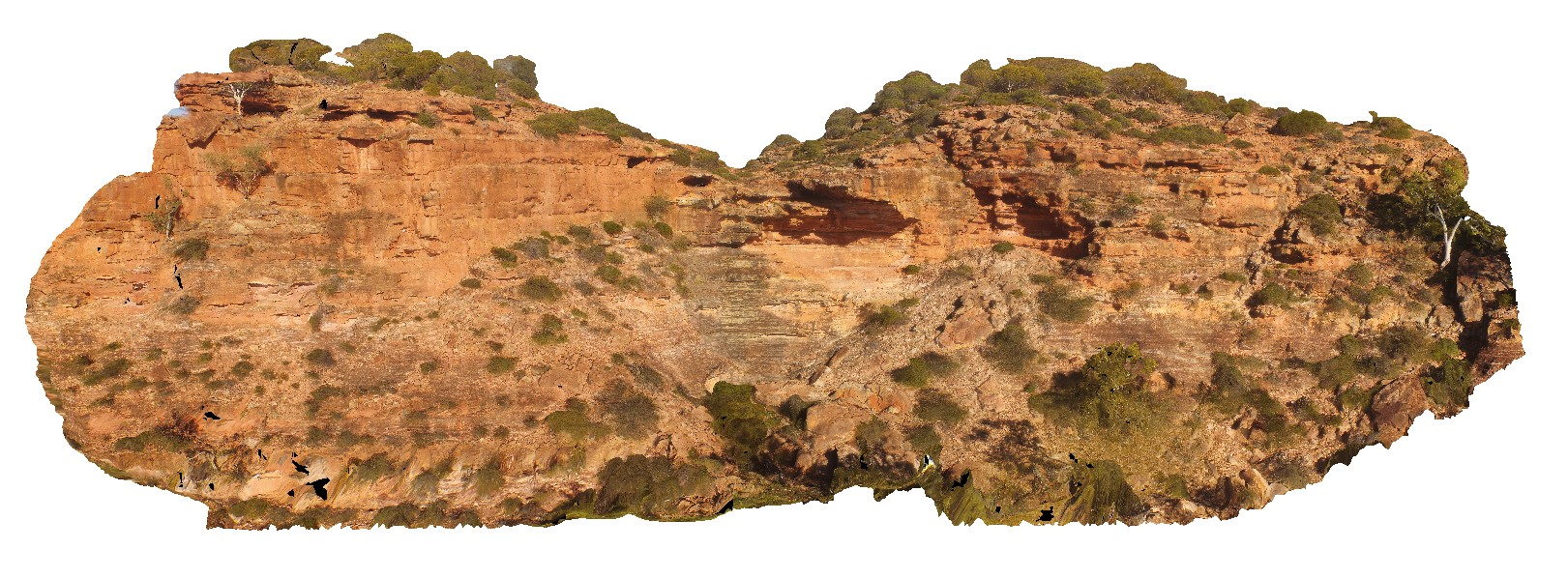
KalbarriUAV1
Site:
KalbarriUAV1
Downloads:
Map
3D Model:
Description:
aerial view of small creek and waterfall in the Tumblagooda Sandstone. Hawks Head Lookout, Kalbarri National Park. W.A.
| Capture Date: | May 20, 2016, noon |
| Latitude: | -27.79011200000 degrees |
| Longitude: | 114.46939300000 degrees |
| Elevation: | NA |
| Visualisation Type: | UAV |
| Location Accuracy: | 0 metres |
Keywords:
- Tumblagooda Sandstone
- waterfall
| sandstone | |
|---|---|
| Form Type: | bedded |
| Description: | Fine- to medium-grained bedded sandstones with ripple marks and bioturbation. |
| Min Geological Age: | Early Silurian |
| Max Geological Age: | Late Cambrian |
| Min Numerical Age: | 433.000 |
| Max Numerical Age: | 495.000 |
| Strat No: | 18674 |
| Supergroup: | |
| Group: | |
| Subgroup: | |
| Formation: | Tumblagooda Sandstone |
| Member: | |
| Province: | Abrolhos Sub-basin, Gascoyne Sub-basin, Perth Basin, Southern Carnarvon Basin |