KathFSP1
Site:
KathFSP1
Downloads:
Map
Description:
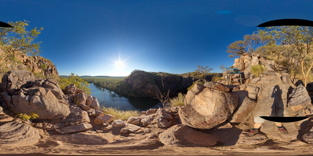
view from the side of Katherine Gorge, showing banded sandstones. Katherine Gorge, N.T.
| Capture Date: | July 20, 2016, 5:41 p.m. |
| Latitude: | -14.31134500000 degrees |
| Longitude: | 132.42592800000 degrees |
| Elevation: | 167.494 metres |
| Visualisation Type: | FSP |
| Location Accuracy: | 0 metres |
Keywords:
- sandstone
- bedded
- sedimentology
- Katherine Gorge
| sandstone | |
|---|---|
| Form Type: | bedded |
| Description: | polymict, sandy?, matrix supported conglomerate of rounded cobbles. |
| Min Geological Age: | Statherian |
| Max Geological Age: | Orosirian |
| Min Numerical Age: | 1740.000 |
| Max Numerical Age: | 1822.000 |
| Strat No: | 33373 |
| Supergroup: | |
| Group: | Katherine River Group |
| Subgroup: | Kombolgie Subgroup |
| Formation: | |
| Member: | |
| Province: |