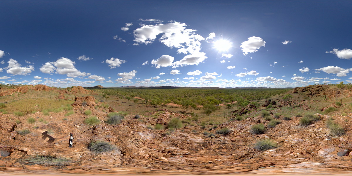
KeepRiverFSP3
Site:
KeepRiverFSP3
Downloads:
Map
Description:
brecciated quartzite hills. Keep River Access Track, proximal to the Halls Creek Fault. N.T.
| Capture Date: | Undated |
| Latitude: | -15.95302000000 degrees |
| Longitude: | 129.02904000000 degrees |
| Elevation: | NA |
| Visualisation Type: | FSP |
| Location Accuracy: | 0 metres |
Keywords:
- breccia
- quartzite
- structure
| quartzite | |
|---|---|
| Form Type: | bedded |
| Description: | quartzite |
| Min Geological Age: | Orosirian |
| Max Geological Age: | Orosirian |
| Min Numerical Age: | 1850.000 |
| Max Numerical Age: | 1880.000 |
| Strat No: | 27793 |
| Supergroup: | |
| Group: | Halls Creek Group |
| Subgroup: | |
| Formation: | |
| Member: | |
| Province: | Lamboo Province, Litchfield Block |