Kings4
Site:
Kings4
Downloads:
Map
3D Model:
Description:
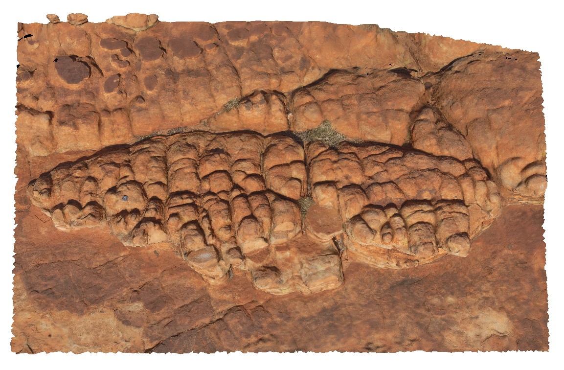
dome shaped joint weathering in Mereenie Sandstone, orientated E-W, N-S. Kings Canyon, Watarrka National Park, N.T.
| Capture Date: | July 31, 2016, 11:27 a.m. |
| Latitude: | -24.24910300000 degrees |
| Longitude: | 131.57939400000 degrees |
| Elevation: | 744.410 metres |
| Visualisation Type: | 3D |
| Location Accuracy: | 0 metres |
Keywords:
- joint
- weathering
- Mereenie Sandstone
- Kings Canyon
| sandstone | |
|---|---|
| Form Type: | bedded |
| Description: | Porous, white to pale-brown, fine grained, well sorted quartz sandstone with jointing and weathering |
| Min Geological Age: | Middle Devonian |
| Max Geological Age: | Late Ordovician |
| Min Numerical Age: | 398.000 |
| Max Numerical Age: | 461.000 |
| Strat No: | 11667 |
| Supergroup: | |
| Group: | |
| Subgroup: | |
| Formation: | Mereenie Sandstone |
| Member: | |
| Province: | Amadeus Basin |