Kings7
Site:
Kings7
Downloads:
Map
3D Model:
Description:
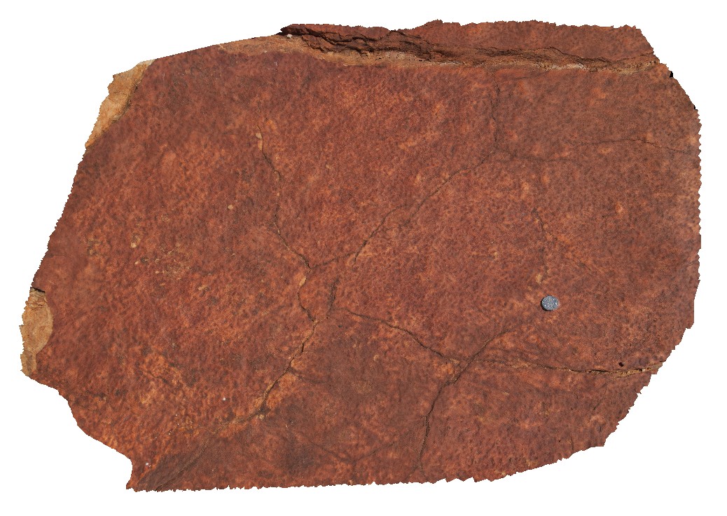
possible fossilised rain indentations/drops in Mereenie Sandstone. Kings Canyon, Watarrka National Park, N.T.
| Capture Date: | Undated |
| Latitude: | -24.25160400000 degrees |
| Longitude: | 131.58066300000 degrees |
| Elevation: | 749.528 metres |
| Visualisation Type: | 3D |
| Location Accuracy: | 5 metres |
Keywords:
- fossilised rain drops
- Mereenie Sandstone
- sedimentology
- fossil
- palaeontology
| sandstone | |
|---|---|
| Form Type: | bedded |
| Description: | Porous, white to pale-brown, fine grained, well sorted quartz sandstone with fossilised rain indentations. |
| Min Geological Age: | Middle Devonian |
| Max Geological Age: | Late Ordovician |
| Min Numerical Age: | 398.000 |
| Max Numerical Age: | 461.000 |
| Strat No: | 11667 |
| Supergroup: | |
| Group: | |
| Subgroup: | |
| Formation: | Mereenie Sandstone |
| Member: | |
| Province: | Amadeus Basin |