Kingston1
Site:
Kingston1
Downloads:
Map
3D Model:
Description:
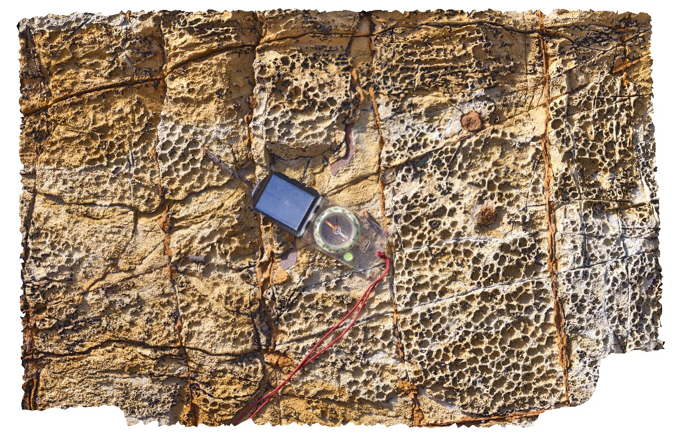
Permian sandstone outcrop with concretions and dropstones visible. Shore exposure south of Kingston Beach, Tas.
| Capture Date: | July 15, 2016, noon |
| Latitude: | -42.98557000000 degrees |
| Longitude: | 147.32727000000 degrees |
| Elevation: | NA |
| Visualisation Type: | 3D |
| Location Accuracy: | 0 metres |
Keywords:
- shore platform
- Permian
- dropstone
- concretion
- glacial
| sandstone | |
|---|---|
| Form Type: | bedded |
| Description: | Glacigene and shallow-water glaciomarine sequences of mudstone, sandstone and minor limestone with drop stones |
| Min Geological Age: | Permian |
| Max Geological Age: | Late Carboniferous |
| Min Numerical Age: | 252.170 |
| Max Numerical Age: | 323.200 |
| Strat No: | 14900 |
| Supergroup: | Parmeener Supergroup |
| Group: | |
| Subgroup: | |
| Formation: | Parmeener Supergroup, Lower |
| Member: | |
| Province: | Melbourne-Mathinna Zone |