LakeArgyle4
Site:
LakeArgyle4
Downloads:
Map
3D Model:
Description:
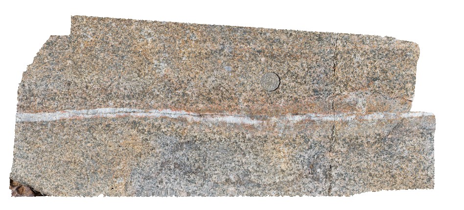
close-up of cataclasite breccia and massive quartz vein zone in mafic dyke from site LakeArgyle2. River crossing of Lake Argyle Road, W.A.
| Capture Date: | June 16, 2016, noon |
| Latitude: | -16.03106000000 degrees |
| Longitude: | 128.78183000000 degrees |
| Elevation: | NA |
| Visualisation Type: | 3D |
| Location Accuracy: | 0 metres |
Keywords:
- cataclasite
- breccia
- quartz vein
- fault
- structure
- mafic dyke
| mafic | |
|---|---|
| Form Type: | dyke |
| Description: | mafic dyke. Age unknown |
| Min Geological Age: | |
| Max Geological Age: | |
| Min Numerical Age: | 0.000 |
| Max Numerical Age: | 0.000 |
| Strat No: | 0 |
| Supergroup: | |
| Group: | |
| Subgroup: | |
| Formation: | |
| Member: | |
| Province: |